A Quiet Night with a Reminder
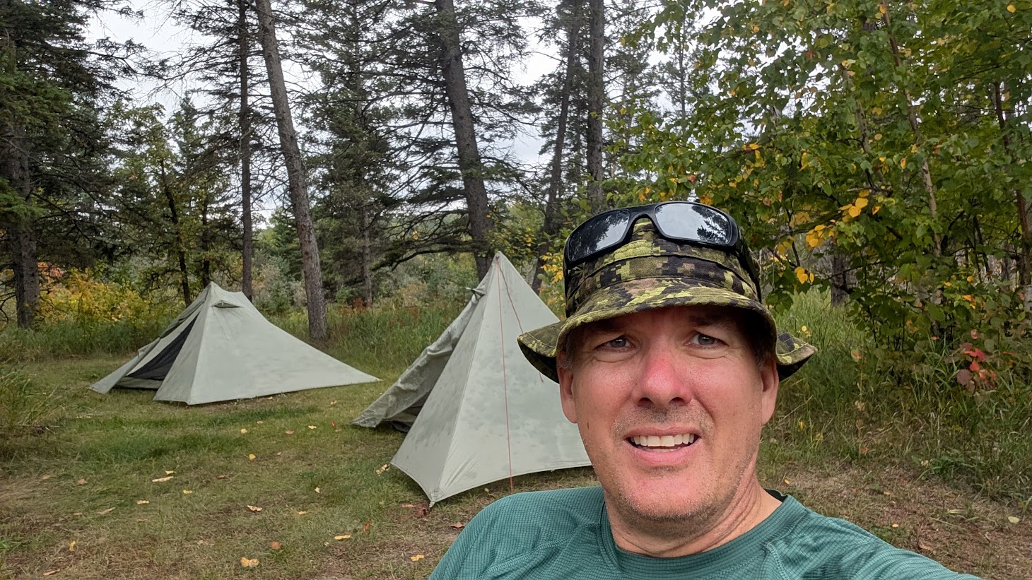
Night two on the Epinette Creek Trail in Spruce Woods Provincial Park was calm. Unlike the first night, we weren’t bothered by mice on the guylines, and the forest sounds were limited to the usual chatter and the occasional snapping of twigs in the distance. We convinced ourselves that the noises were just deer passing through, while coyotes howled far off, hunting in the dark.
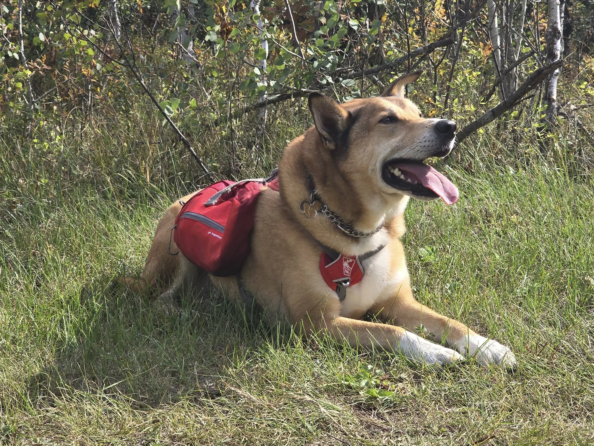
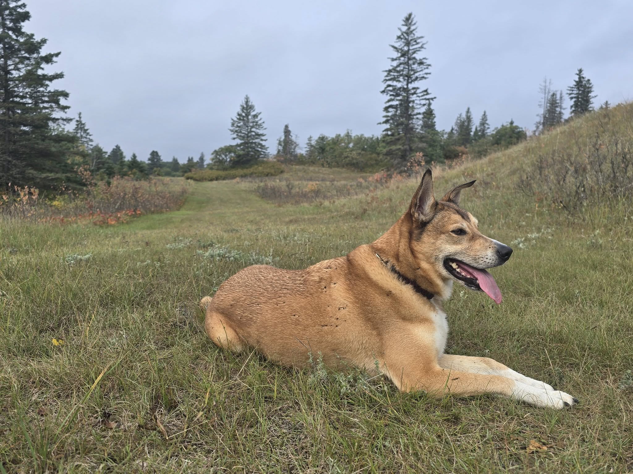
Watson was completely unconcerned. He snuggled up against Cheryl in their tent and even rolled onto his back with his paws in the air.
We felt happy—and lucky—to have such a restful, quiet evening. A couple of weeks later, on our hike at Riding Mountain National Park, we ran into another hiker who told us about his experience at this exact campsite in April or May. He had hiked along and camped where we had pitched our tents. That evening, he spotted a juvenile black bear leaning on a tree near his tent. When he tried to scare it off, a second bear, likely the mother, appeared. He ended up in a tense standoff for several minutes before retreating into the cabin without his gear. Later, with a small tea light candle from the cabin for light, he tried to retrieve his sleeping bag from his now collapsed tent, but momma bear came crashing out of the woods again. Luckily, he managed to alert his wife despite limited signal, and a park ranger picked him up at 2:30 a.m.
Seeing the bear scat on our September hike and hearing this story made it clear: bear spray is essential Epinette Creek Trail in Spruce Woods Provincial Park, even if it doesn’t seem necessary at first.
Takeaway tip: Always carry bear spray in Spruce Woods Provincial Park and know how to use it—wildlife encounters can happen even at seemingly quiet campsites.
Day 3: Cabin 4 Jackfish Lake to Epinette Creek Trailhead, Spruce Woods Provincial Park
Leaving Cabin 4 on the Newfoundland Loop South
As we prepared to leave Cabin 4, we noticed a shortcut behind the cabin that at least one other hiking parties had taken. From what we could tell, it was a steeper climb and not well maintained. While it might save time for some, we encourage hikers to stick to the clearly marked trail.
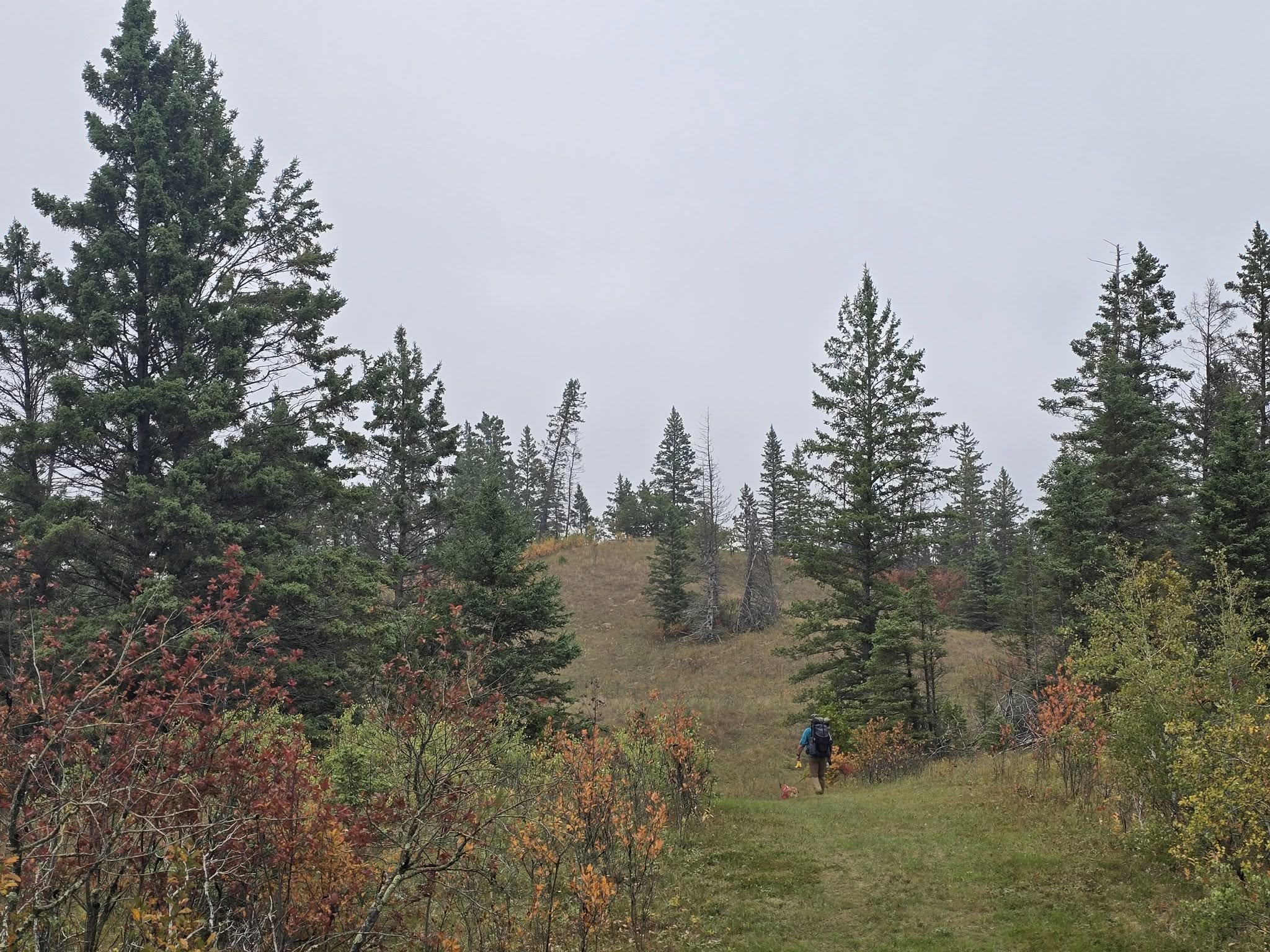
We chose the stone-covered hill, following the official route—not because the shortcut is dangerous, but because the marked trail is easier to navigate, better maintained, and staying on the trail also ensures you don’t unintentionally damage surrounding vegetation. Plus, by taking the marked path, we were able to capture the full experience for our YouTube viewers, showing exactly what the trail has to offer and highlighting the route everyone should follow for a safe and enjoyable hike. Choosing the well-marked trail isn’t just about safety—it’s about respecting the land, the trail, and future hiking experiences.
South on the Newfoundland Loop
From the top of the hill, the trail splits and gives you the choice of following either the north or south loop. Like the northern half, the southern portion is rolling with plenty of ups and downs. It is not overly strenuous, but it is definitely less flat than the earlier loops of the Epinette Creek Trail.
The terrain here felt different as well. The south loop included several sandy stretches, with a couple of large sandy hills that would be tough for any maintenance vehicles, especially on a wet day. These were not sand dunes, but the inclines were steep enough that tires would have little to grip without the stones the park has placed for traction. As hikers, we actually enjoyed the sandy sections. It was a nice change from the usual soil, and we were grateful the trail was not muddy during our visit.
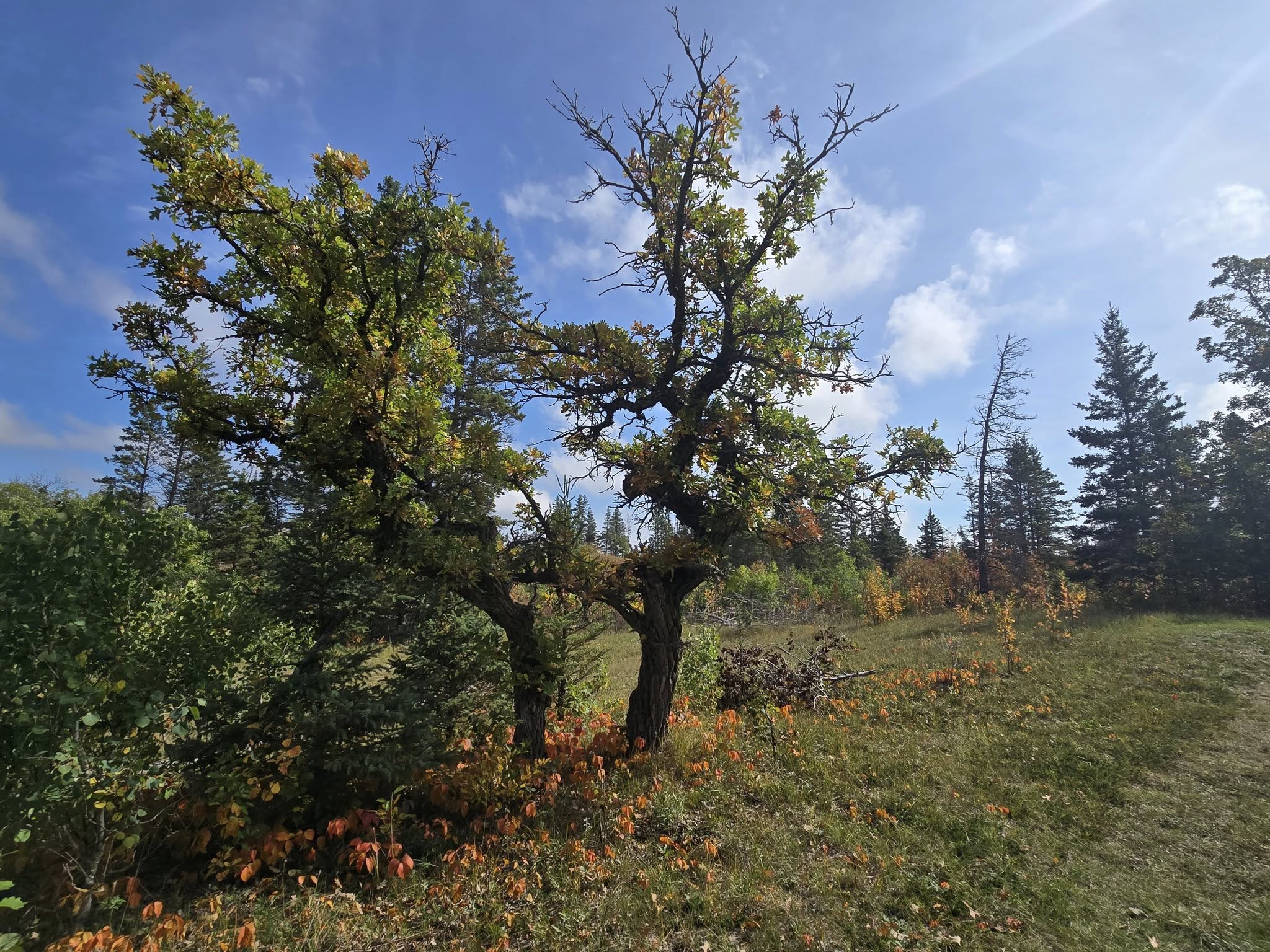
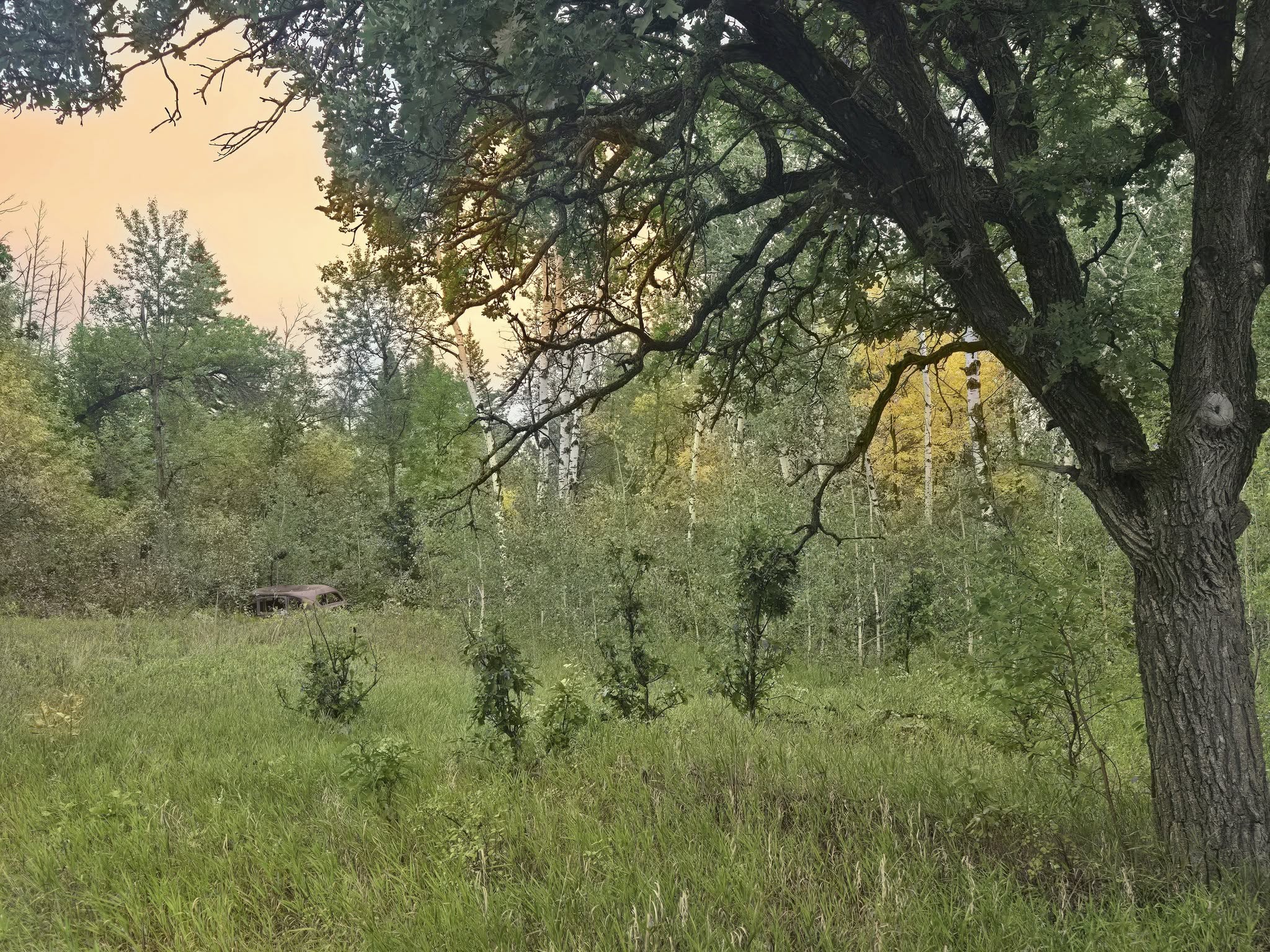
Another unique feature of this loop was the number of oak trees. While we had spotted a few earlier in the hike, the south loop had noticeably more. Cheryl even wondered if some of them had been intentionally planted. Just before Cabin 3, we entered an open area that looked as though it might once have been a homestead. An old abandoned car sat off to the side, oak trees lined the trail, and we crossed an infrequently used dirt road. Seeing so many oak trees in this part of the park felt unusual and memorable, and it added character to this stretch of trail.
A Short Break at Cabin 3
When we reached Cabin 3, we took a break. It was time to load up on more water and have some snacks. We had access to the outhouse and of course the garbage cans and took advantage of the amenities. There was no one there. Anyone we had stayed with previously had moved on and we could stretch out on picnic tables and on the water pump platform, dryihg out our dew-soaked socks and soothing aching muscles.
We knew we only had about 8 km left to hike before reaching the trailhead and that if the next half of the loop was the same as our approach from the trailhead on day one, it would be an easy go. We made sure Watson was well rested and got plenty of water and then we set off on the home stretch.
Onward to the Trailhead
While the scenery on this half of the trail was about the same, with open grass and prairie mixed with tree tunnels, we were likely feeling a bit more fatigued after already completing 13 km of hiking. The stretch to Cabin 2 felt hillier than day one, and there was one good hill climb that reminded us Manitoba isn’t completely flat.
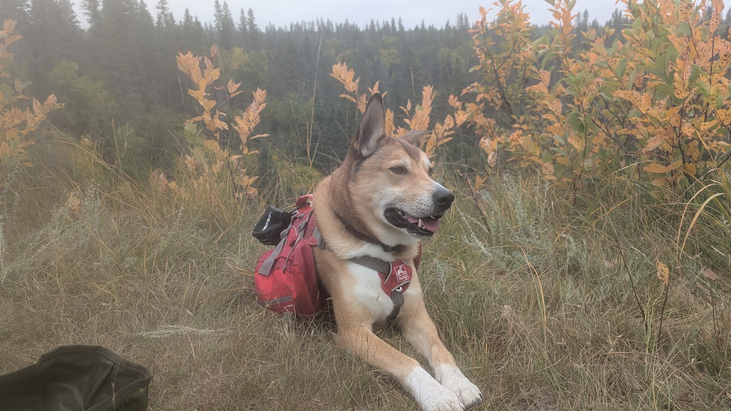
The temperatures were rising, and we were in an open stretch, so it was time for another break. We always try to find the most scenic places on a trail to stop. When hiking, the views are a great reward and something you work hard for. On this trail, however, “views” had a different meaning. We were looking for a nice creek weaving through the trees or a field that stretched out for a while. Views are those locations where your eyes move from one point of interest to another. We found a spot that looked out over the grassy prairie outlined by trees. It might not have been a significant viewpoint for some, but we appreciated watching the grasses sway and the many colours of the leaves.
After our break, we finished the walk to Cabin 2. Because there were benches, we took another short rest. Why not? There was no rush. We knew we were only a short distance from the parking lot, and sometimes we’re just not ready for a hike to be over.
Arriving at the Trailhead
When we spotted the car, we were pleased to see the end of the trail. We always feel happy when we see our car. The last thing you want after finishing a hike is to discover your vehicle is missing. We told Watson it was time for a car ride, and even he seemed pleased by the announcement.
At the trailhead, we saw the teenagers from the school group taking photographs together. Oliver offered to help take their group photo so the chaperones could also be in the shot. It was nice to reconnect with them one last time before we all went home. We also learned that a lost cell phone had been recovered. They had dropped it somewhere between Cabin 2 and the parking lot, then backtracked and found it on the ground. It served as a reminder that you can lose something at any time on the trail, even when you’re close to the end.
As Oliver changed into fresh clothes, Cheryl sat with Watson in the open trunk of the car. Watson proudly looked out at the parking lot, happy to be on his blanket and excited for another car ride adventure. He’s always up for anything.
Driving Home
The drive home took about two hours, plus a stop in Portage la Prairie where we each grabbed a hamburger. Watson scored some fries. Because Spruce Woods Provincial Park isn’t too far away, we were able to get home at a decent time to clean up our gear and enjoy a relaxing evening. Sometimes, trails can be a long drive away, and after a full day of hiking and then driving, you end up exhausted before you even reach home. If you plan to do the full 20+ km hike on the Epinette Creek Trail and you’re not a slow hiker, you can expect to be back in Winnipeg by the afternoon, which is a good time to arrive and start planning your next hike in Spruce Woods Provincial Park.
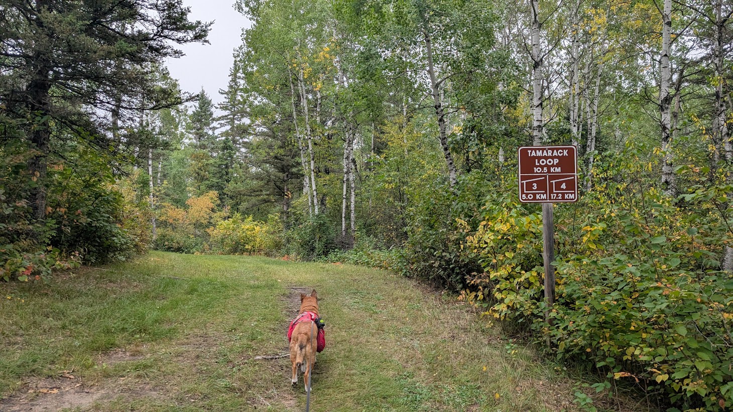
Newfoundland Loop Conditions and Scenery
This section of the trail is approximately 13.5 km. Although signage may read 11.7 km, the distance is longer from Cabin 3 because of the connector trail to the loop split. You will see a sign indicating about 2 km left when your Garmin shows 11.7 km. Be prepared for slightly longer mileage.
As mentioned, there are no water sources after leaving Cabin 3 until Cabin 4. Carry enough water on hot days, as there are no streams or creeks along this section.
This section has more rolling hills than other loops. Besides the stone-covered hill after Cabin 3, the hills are gentle but consistent. Uneven areas come from clumpy grass, cleared downfall, or tracks left by maintenance vehicles. The trail is mostly hazard-free.
While Epinette Creek Trail in Spruce Woods Provincial Park does not offer sweeping vistas, the prairies and colorful fall leaves create a beautiful scene. The trail passes through different landscapes, from tree tunnels to open fields, with mushrooms and flowers scattered along the way.
Final Thoughts on Epinette Creek Trail, Spruce Woods Provincial Park – Day 3
Day 3 on the Epinette Creek Trail had more hills than Days 1 or 2. Doing the full length from Cabin 4 to the trailhead meant we were combining the portions of the loops that we had not yet completed when hiking in.
For beginner hikers, we would recommend breaking up the 20 km day into two shorter days by stopping at Cabin 3 before hiking out the rest of the way. Another option is to start early and take your time. If you begin in the morning, you have all day to reach your car. It is not a strenuous hike; it is simply long. If you are not used to doing 20 km days, remember that you have that option. Once you reach Cabin 2, just keep going. You are almost there.
While we had no issues with animals on the trail, knowing what we know now, we would advise bringing bear spray just in case. The trail maintainers keep the trail in fantastic shape with wide paths. Do watch for scraps of wood, as you could trip on a stick or loose piece that might roll your ankle. Other than that, the trail is excellent and easy to navigate. As long as you know which cabin number you are targeting, you will have no problem reaching your destination.
We truly appreciated having the amenities of toilets, water pumps, and firepits. The garbage and recycling bins were a luxury. Who would have thought people would be so excited to see garbage cans? When you are used to packing out your trash all the time, having a place to dump smelly scraps on a hot day and not have them bake inside a plastic bag in your bear canister feels like a treat. You will appreciate a garbage can in the backcountry too.
The only downside is that there are no bear boxes. We made use of the cabins to store our food at night. Since we used bear vaults, we could have left our canisters outside a safe distance from camp, but not having to worry about bears knocking them around at night or searching for them in the morning if they were moved made the cabins a much nicer option. If you plan to store your food in the cabins, remember that they are home to mice. You may want to use a mouse-proof container to make sure your food does not get munched on overnight. I hope that in the future they install bear boxes at these sites. That is the only thing missing.
Day 3 Summary
- Date: September 14, 2025
- Distance: Cabin 4 (Jackfish Lake) to Trailhead – ~20 km / 12.6 mi
- Elevation: 1650 ft
- Water Sources: Only available at cabin water pumps and beaver dam creek after Cabin 2.
- Wildlife: Deer tracks and plentiful bear scat.
- Navigation: Wide, mowed trail with clear signage.
- Best Time to Hike: Spring (before ticks) or fall (after ticks)
WATCH THE VIDEO FROM EPINETTE CREEK TRAIL – DAY 3
More From This Hike:
• Hiking the Epinette Creek Trail, Spruce Woods | Day 1
• Hiking the Epinette Creek Trail, Spruce Woods | Day 2
• Hiking the Epinette Creek Trail, Spruce Woods | Day 3 (You’re here!)