Another daylong adventure I took boys on while we lived in Southern Alberta was Turtle Mountain. It sounds innocuous if you aren’t from the area, but if you are there is another connotation entirely.
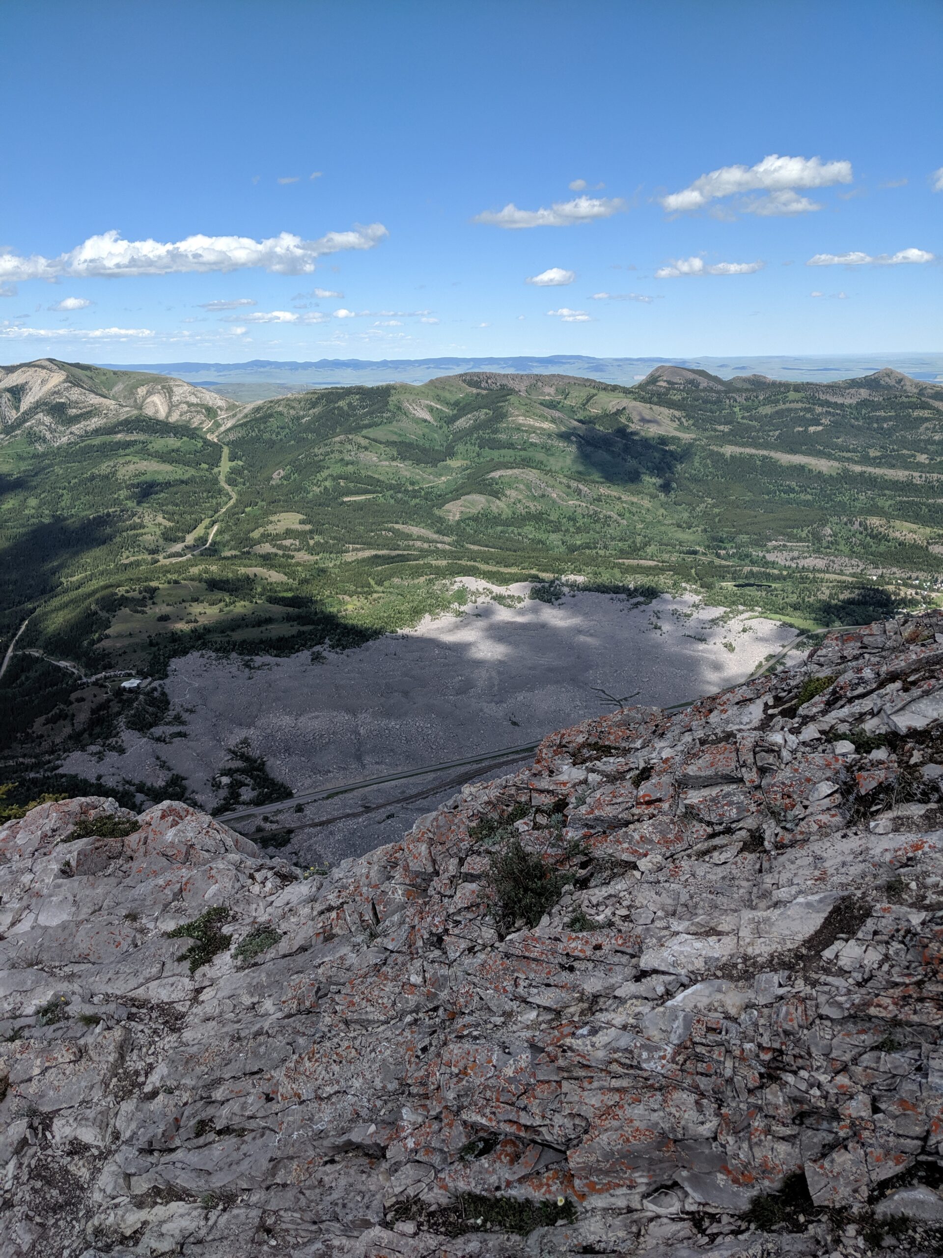
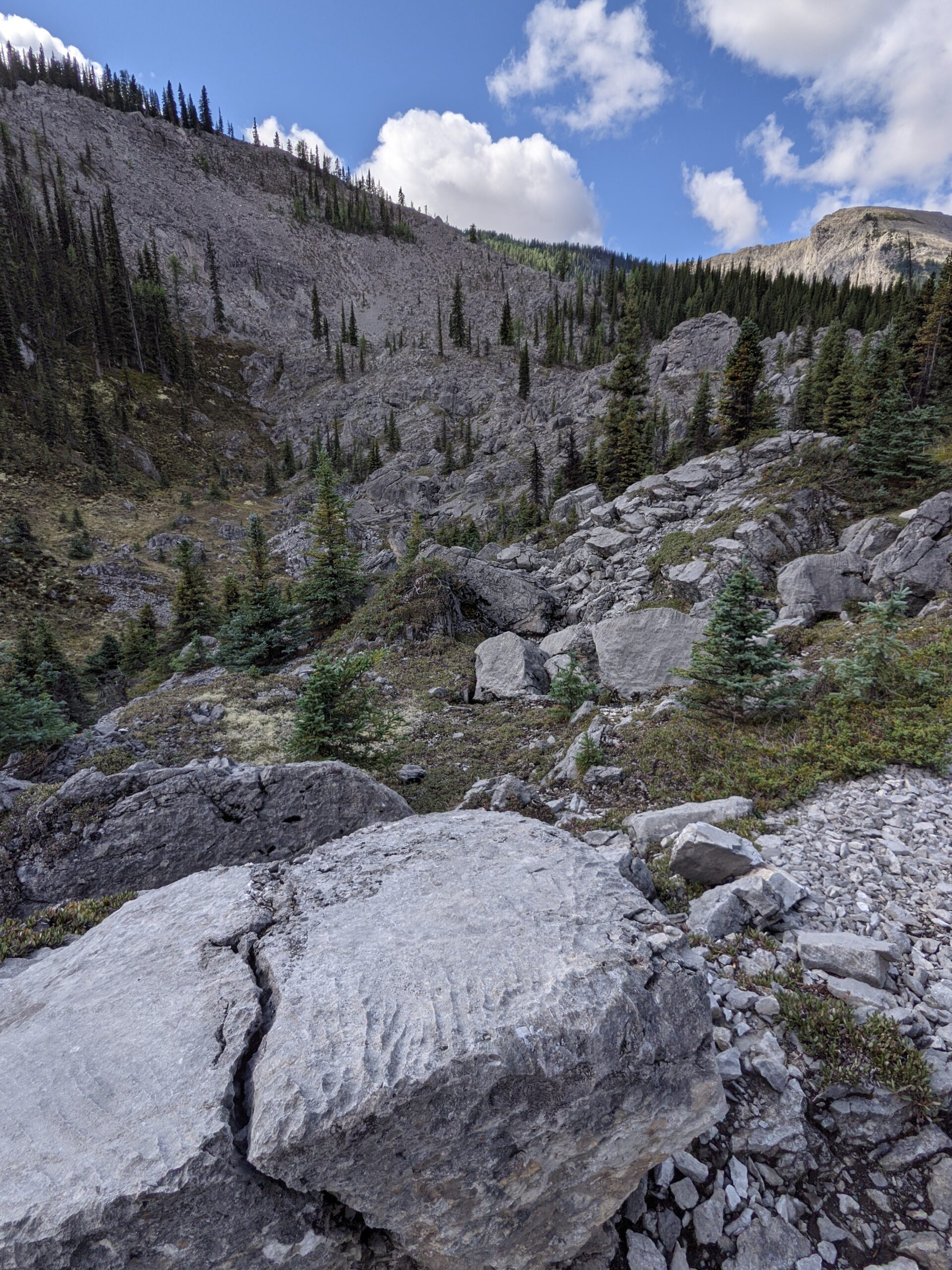
Turtle Mountain, when you are driving through the Crowsnest Pass is unmissable. Why? Because the side of the mountain sheared off in 1903, crashing down onto the coal mining town of Frank, burying it and the railroad under millions of tons of rock and killing as many as 90 people. To this day, it feels like you are driving through a rock quarry as the entire foot of the valley is covered in boulders.
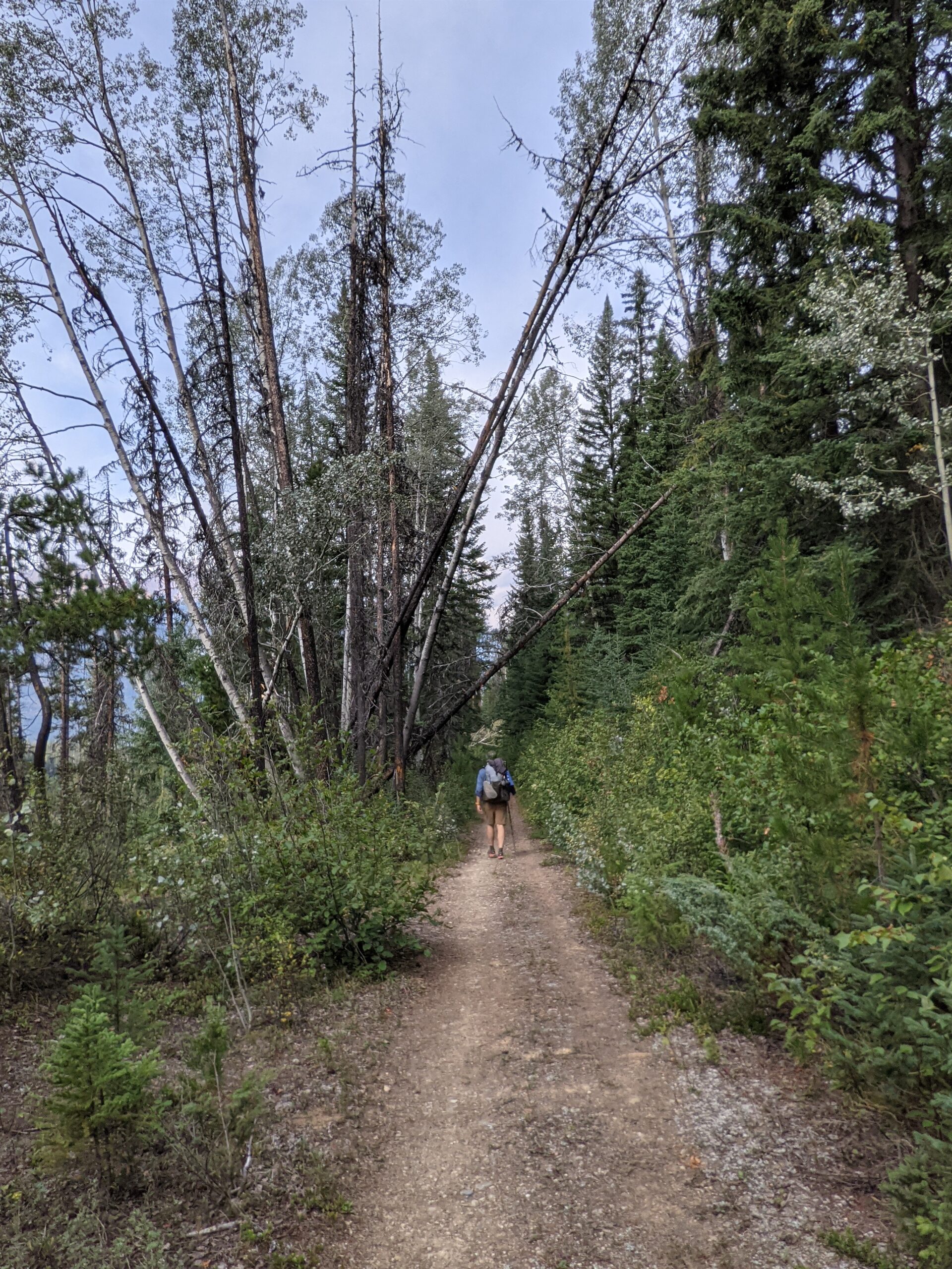
There is a trail on this mountain though. If you drive west up the valley past the slide, you come to a town called Coleman, and if you drive into town and bear to the southeast, you will find a trailhead. The hike is 7 km return, up and back, with about 900m to the top of the remaining peak.
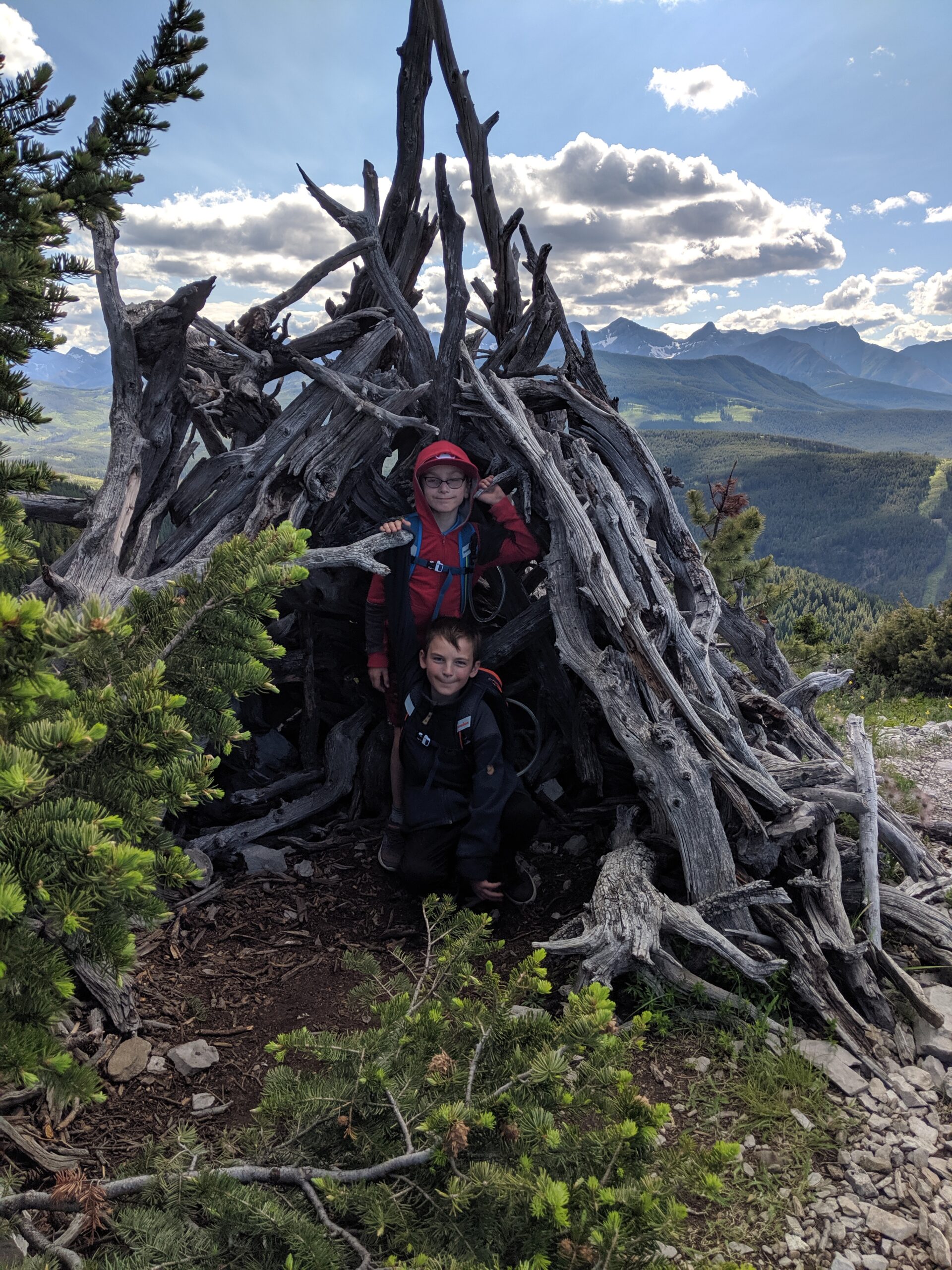
I elected to take my twins up there. In retrospect, probably ill-advised, as I did not realize how nervous I would be with them near (less than 5m) away from the sheer cliff that is the slide face. They were good boys though, they listened and never went really close.
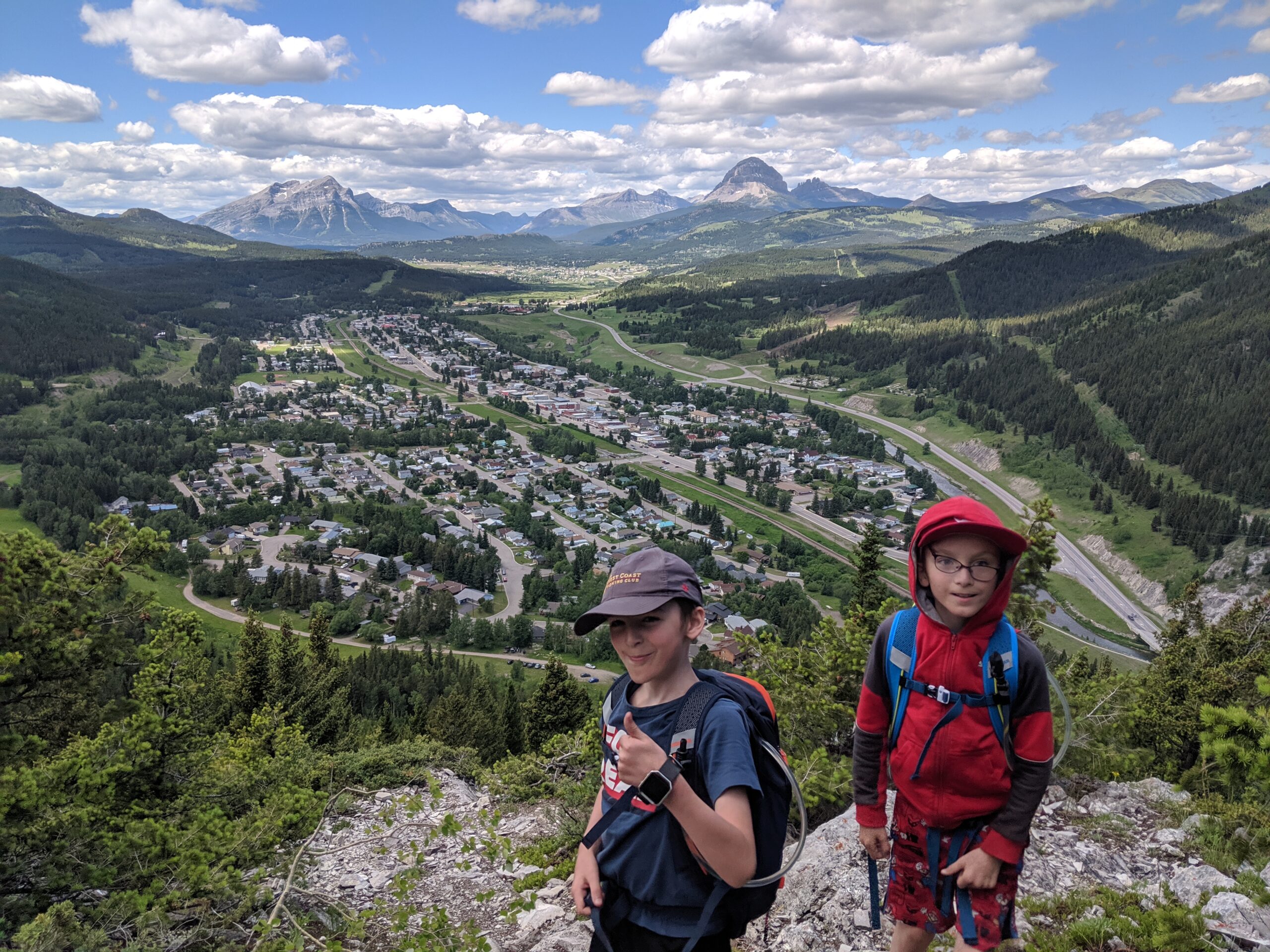
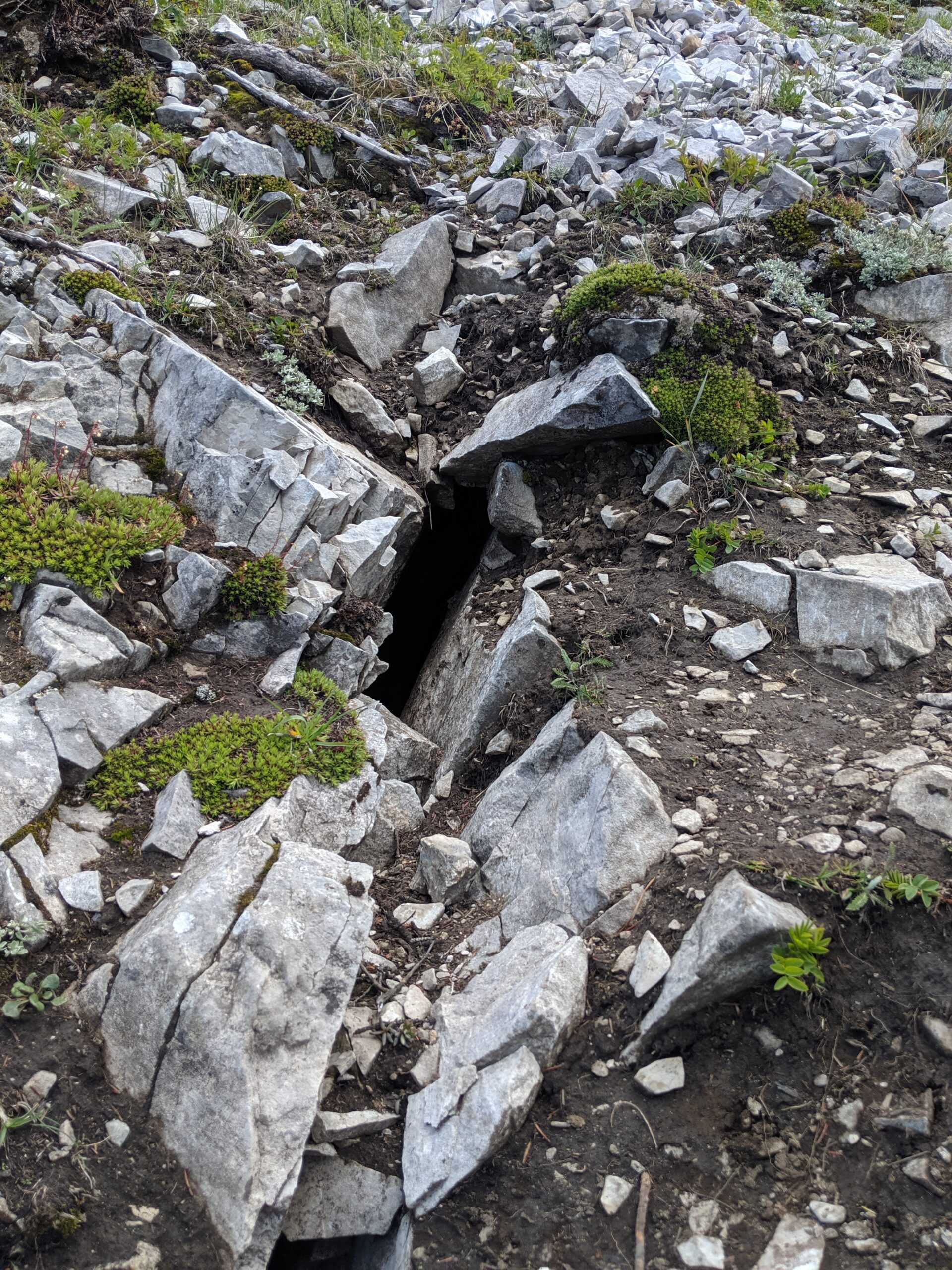
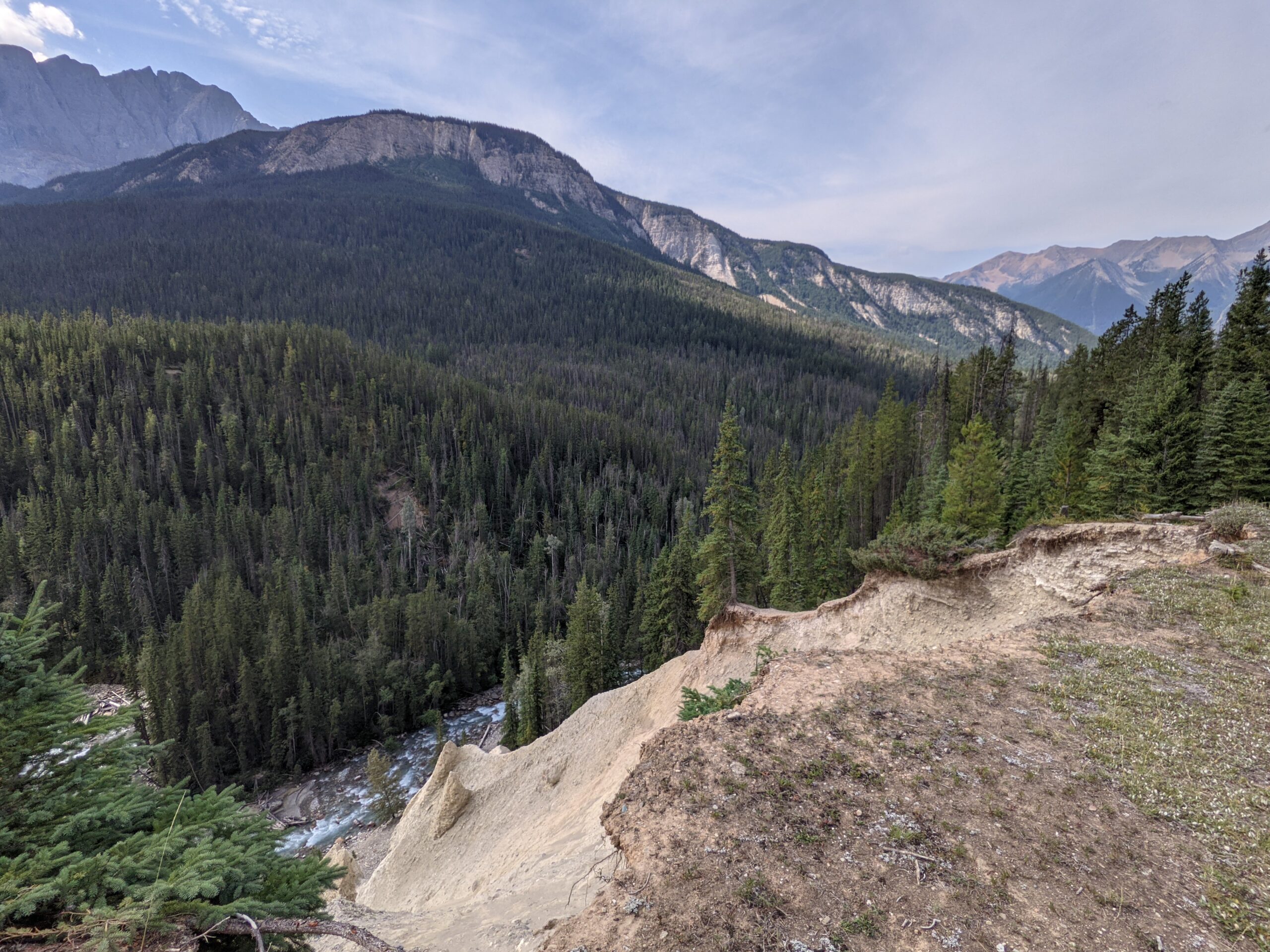
The hike up was steady, with views of the town behind us. The trail mostly stays on the side of the mountain away from the slide, and does get steeper and more exposed as we got close to the top. What I found particularly interesting… or possibly unnerving, was that when we got to that zone, we wove amongst cracks in the stone that sometimes descended a couple meters down.
I was able to see firsthand how the slide happened – snow and ice had built up in some of these cracks, and with the spring thaw, ice has an interesting characteristic. Water decreases in volume as it cools to 4 degrees Celsius, but below 4 it actually begins to expand – this is what gives ice its buoyancy. Unfortunately, this freezing and thawing cycle can be so dramatic it can fracture rock. So one day the ice got too deep and expanded a little too much with a freeze cycle, and broke the mountain.
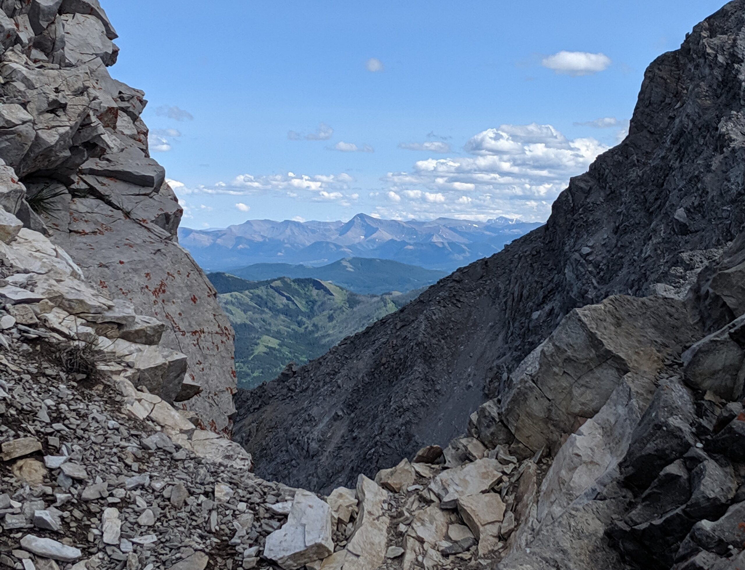
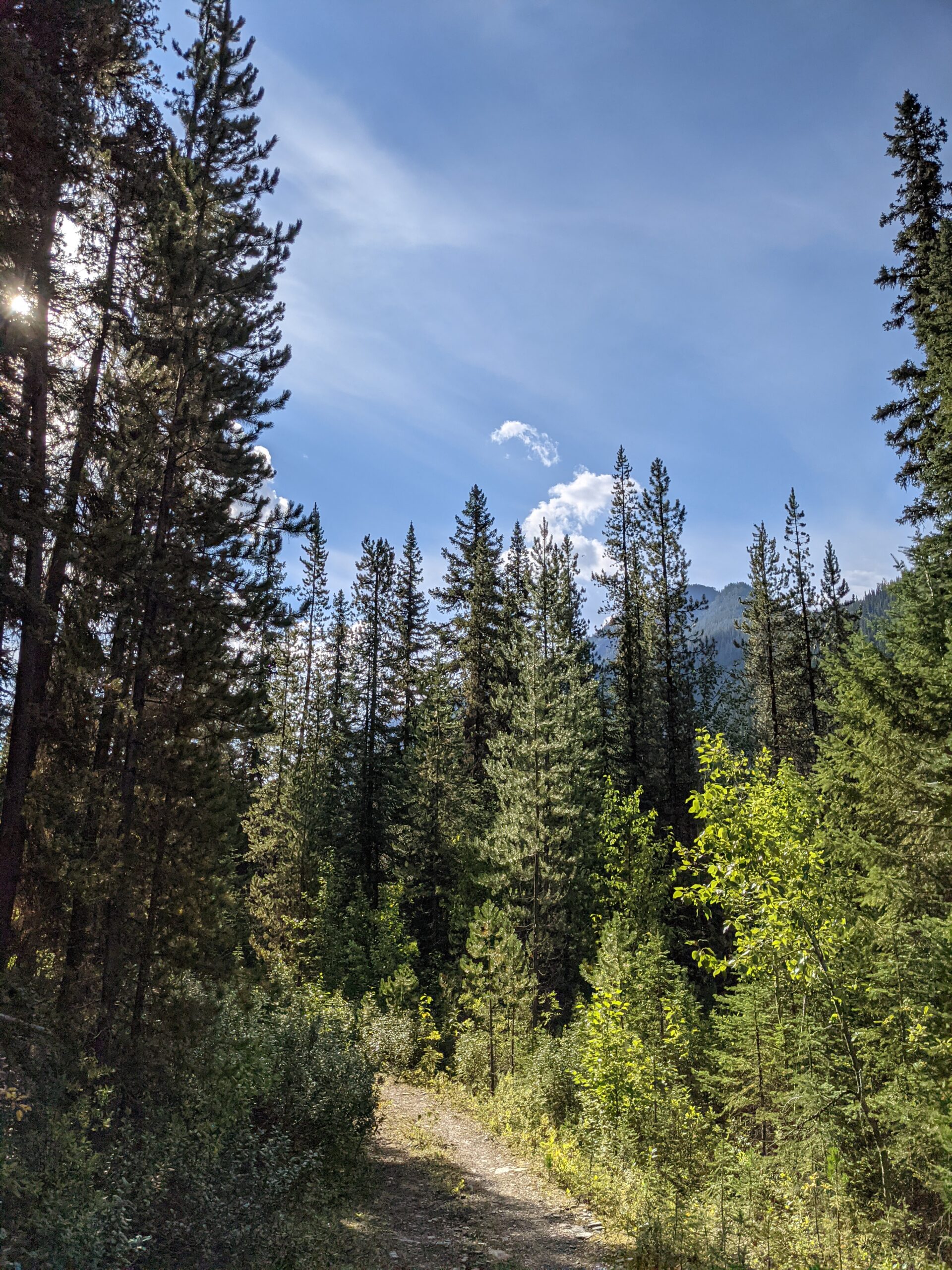
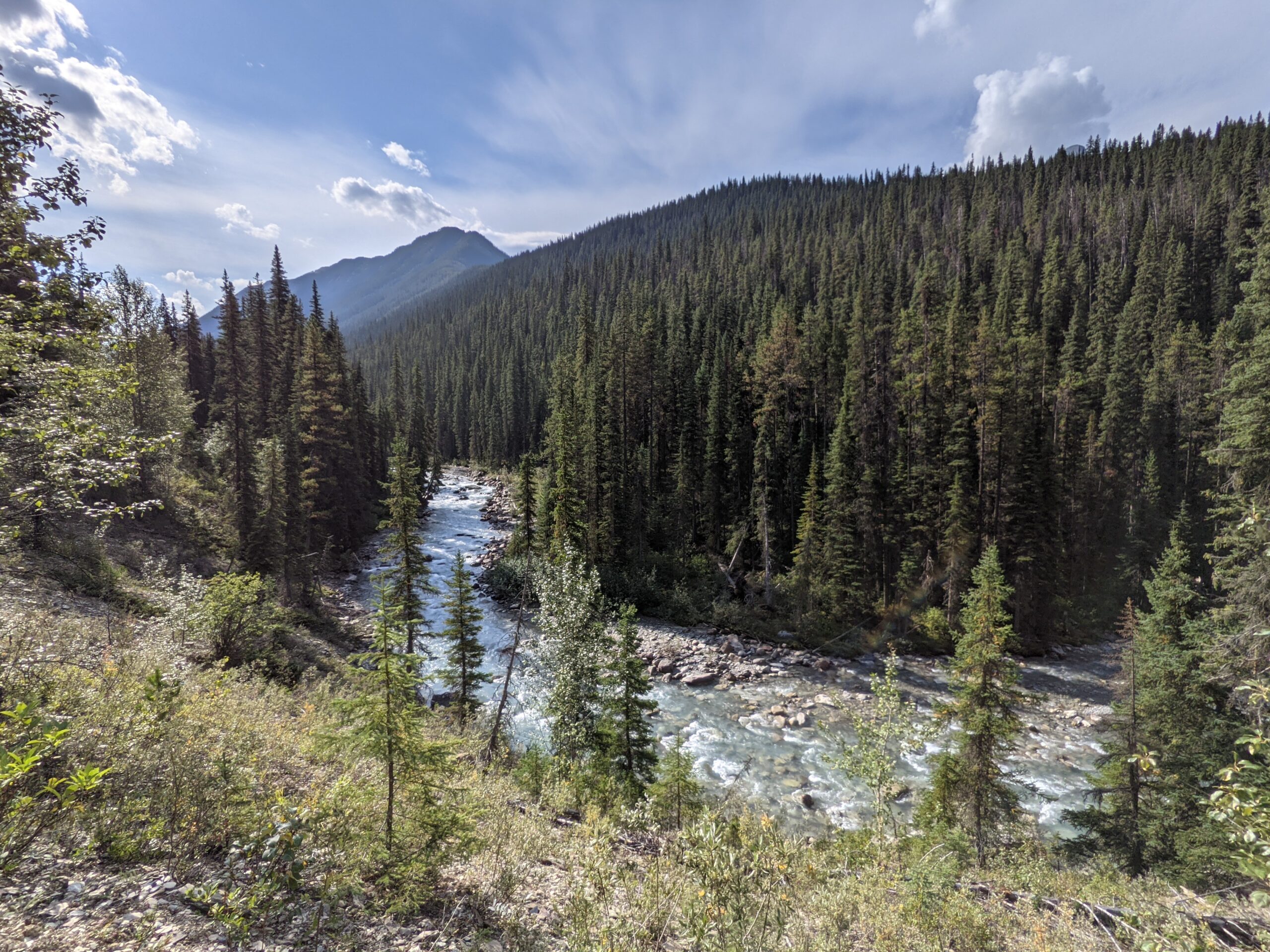
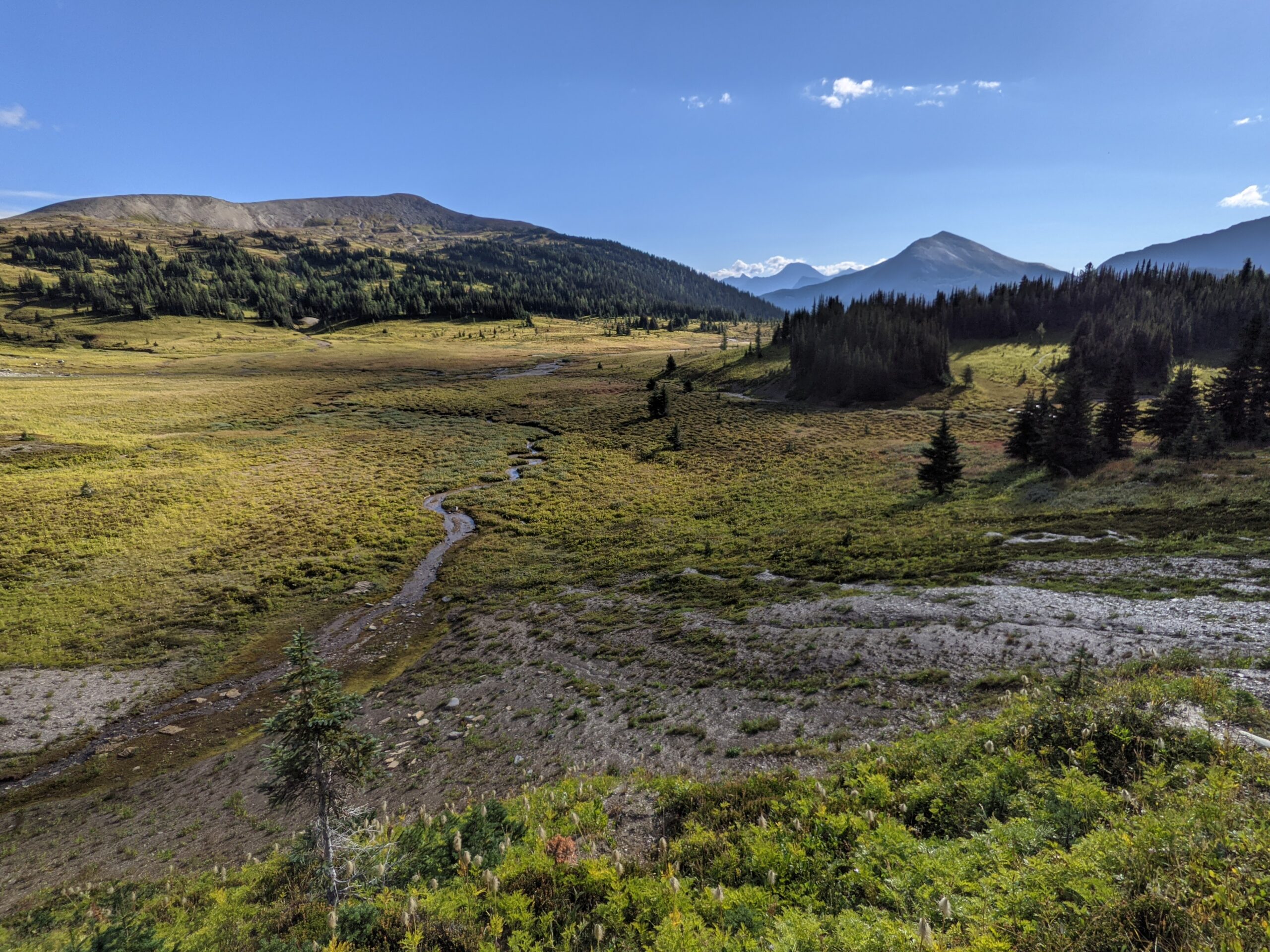
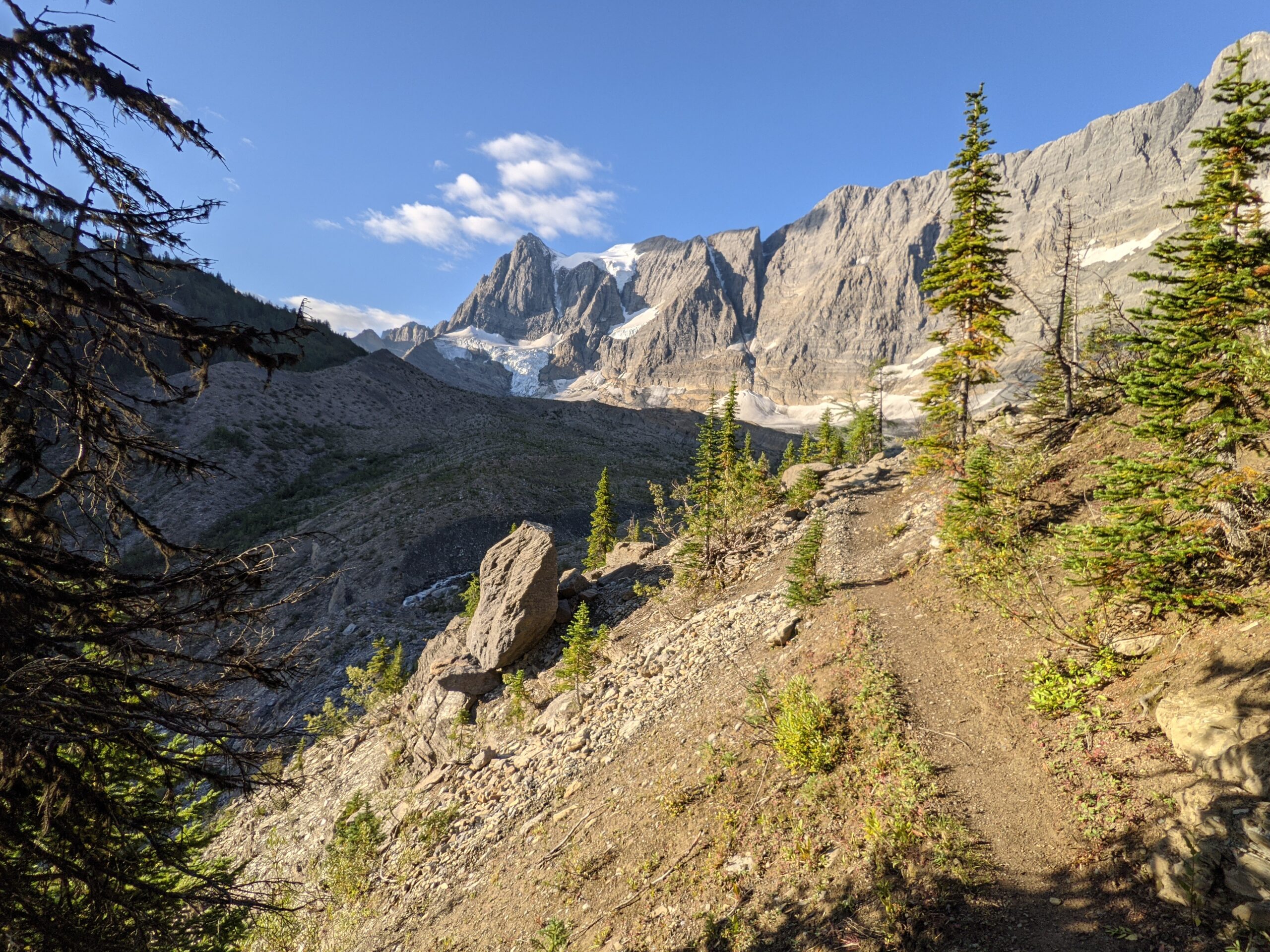
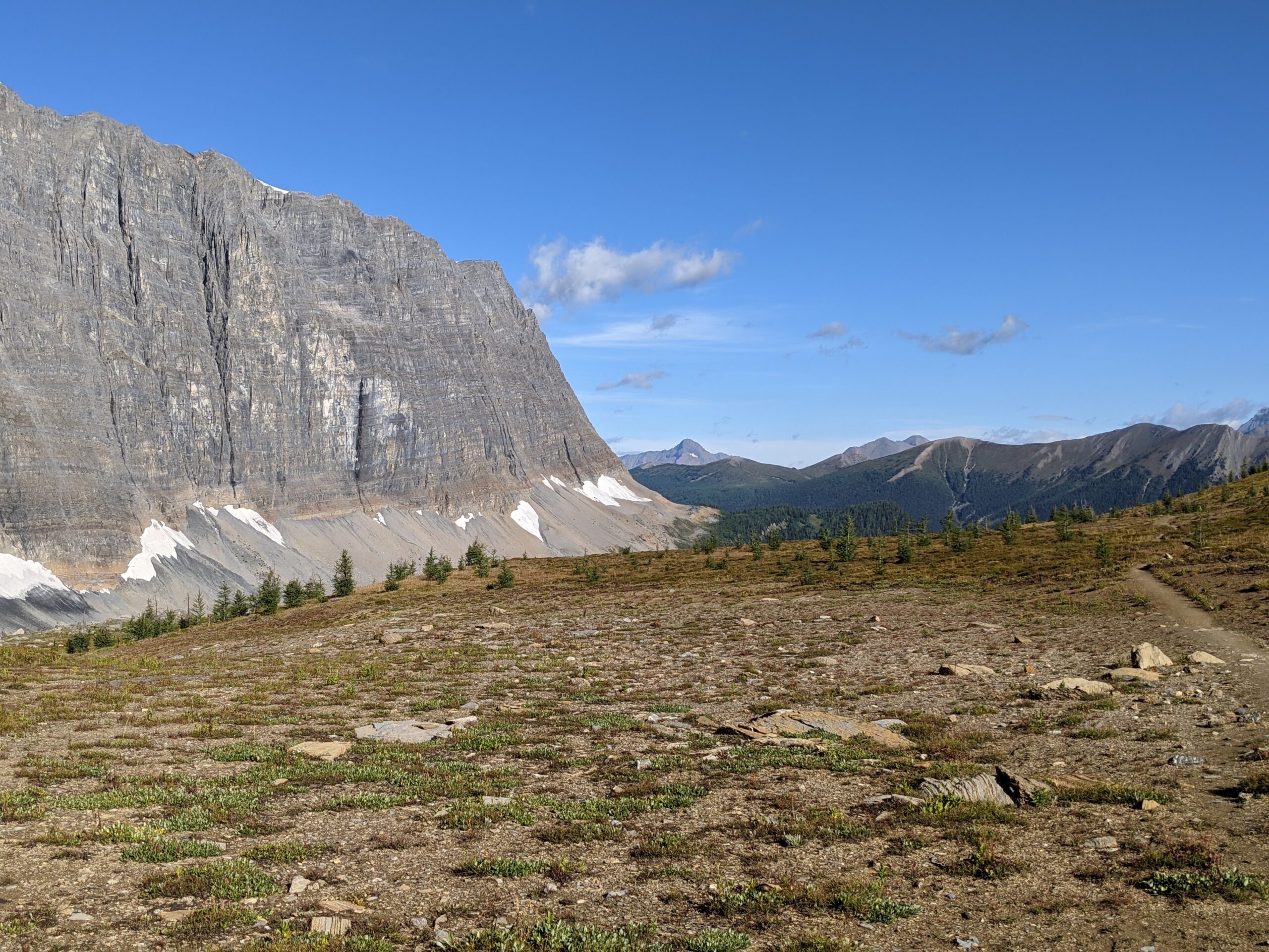
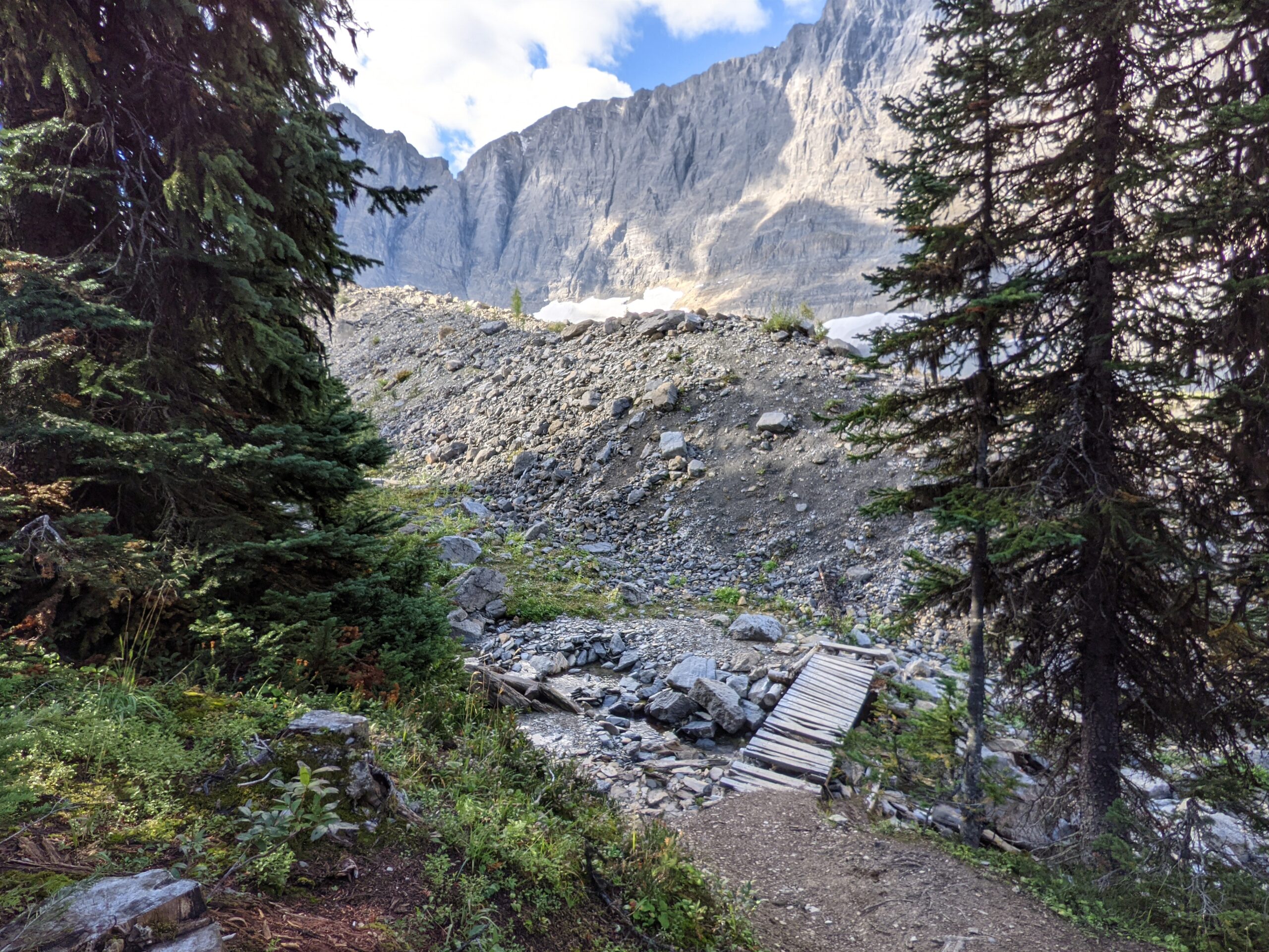
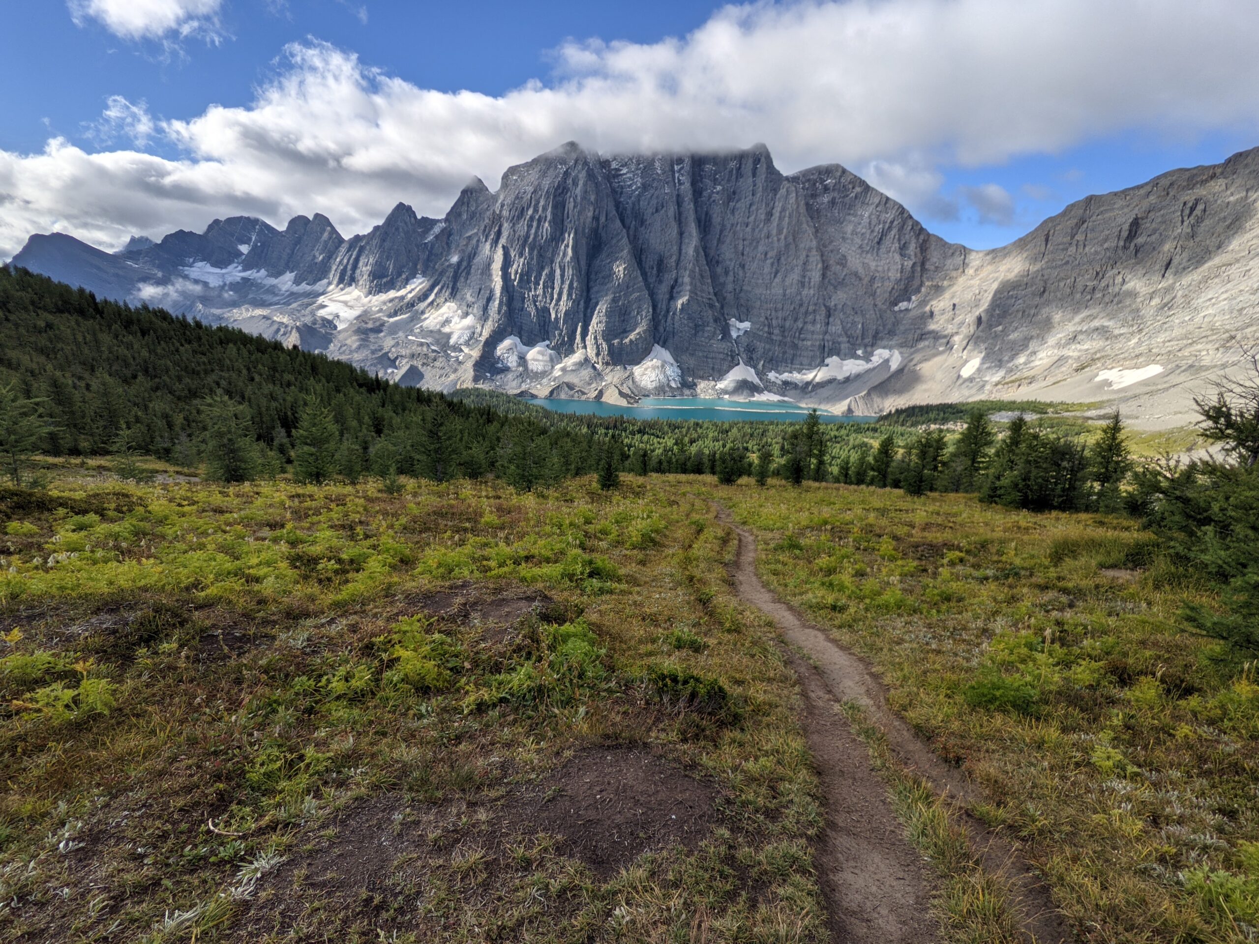
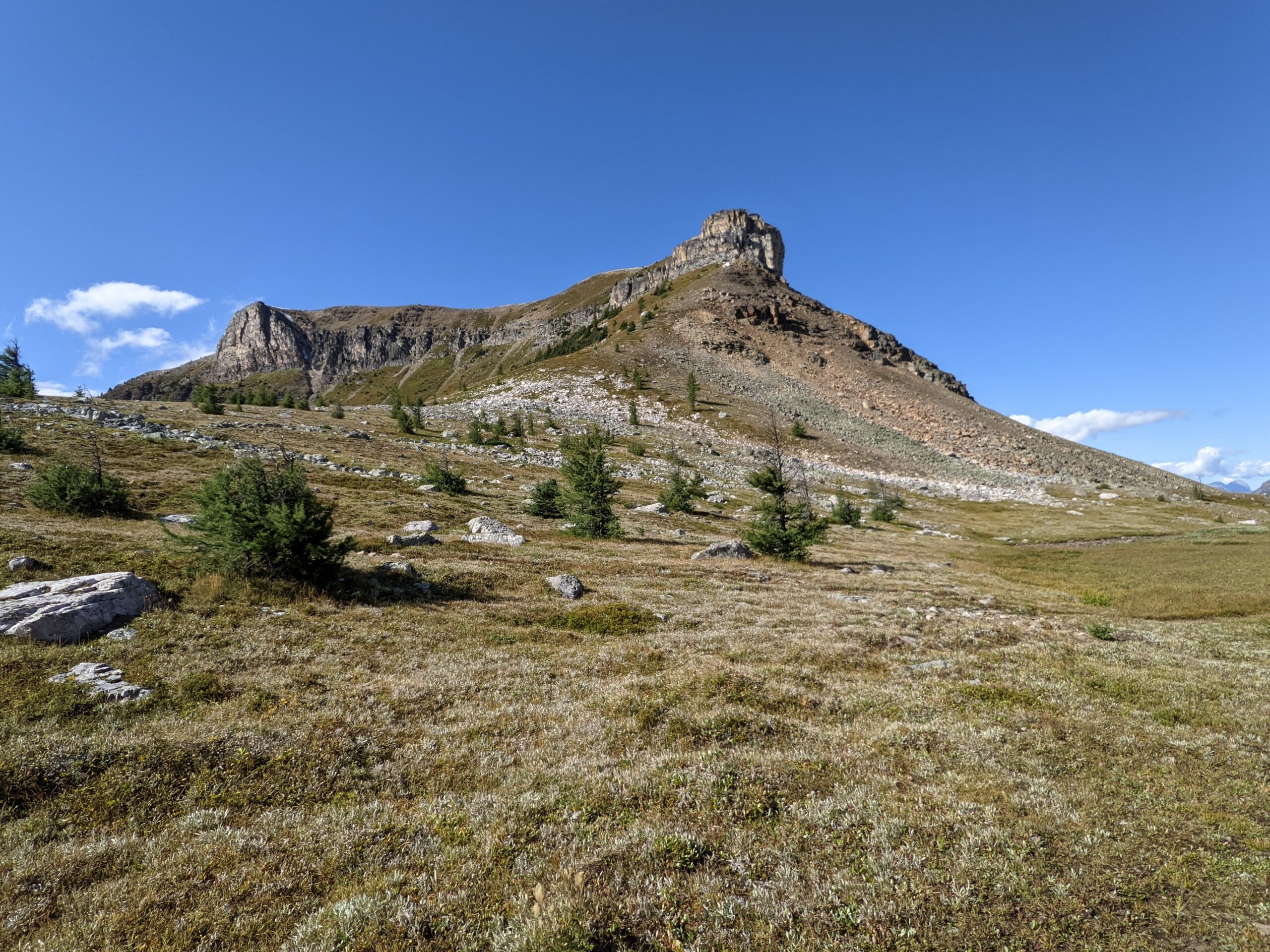
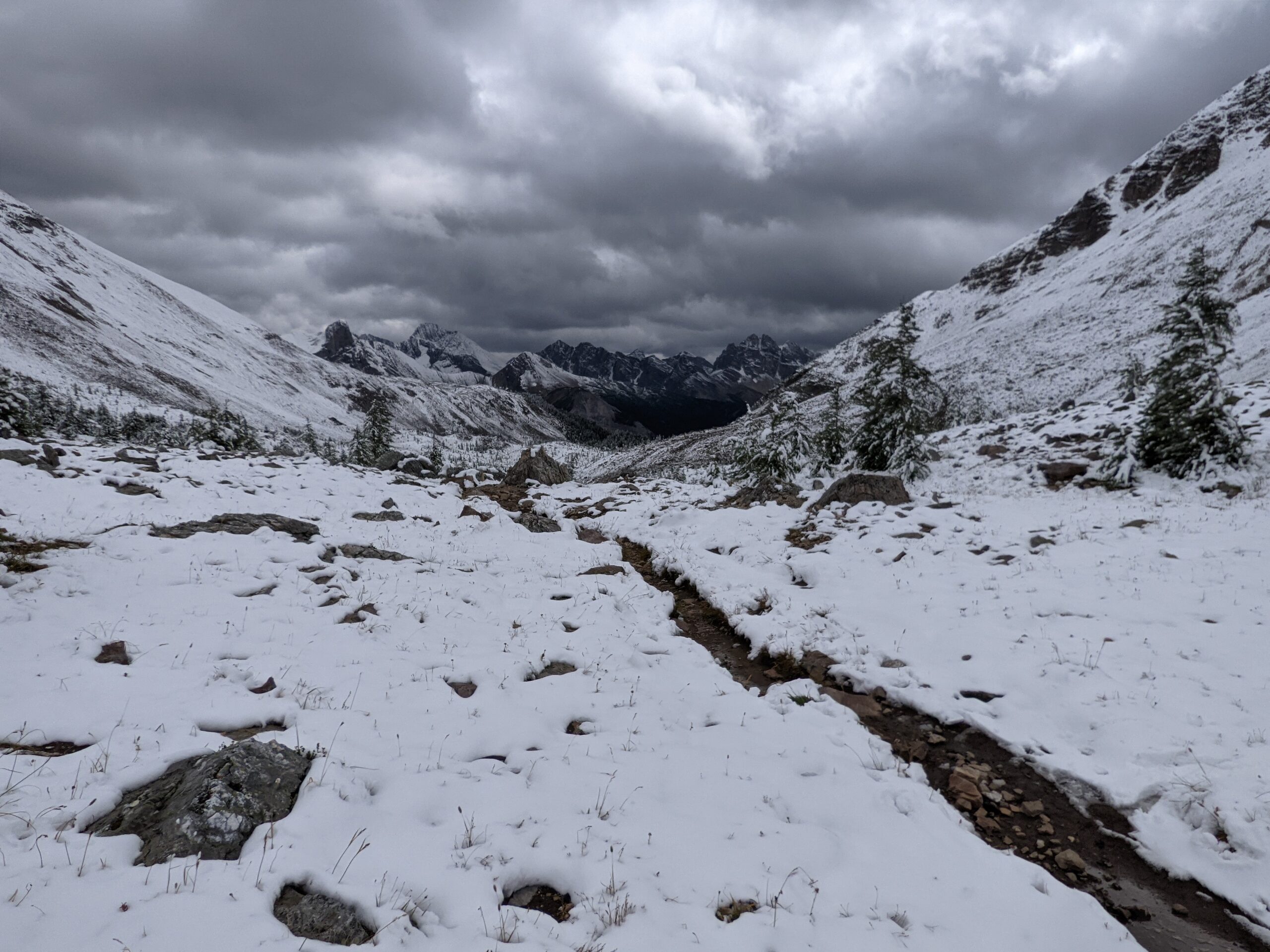
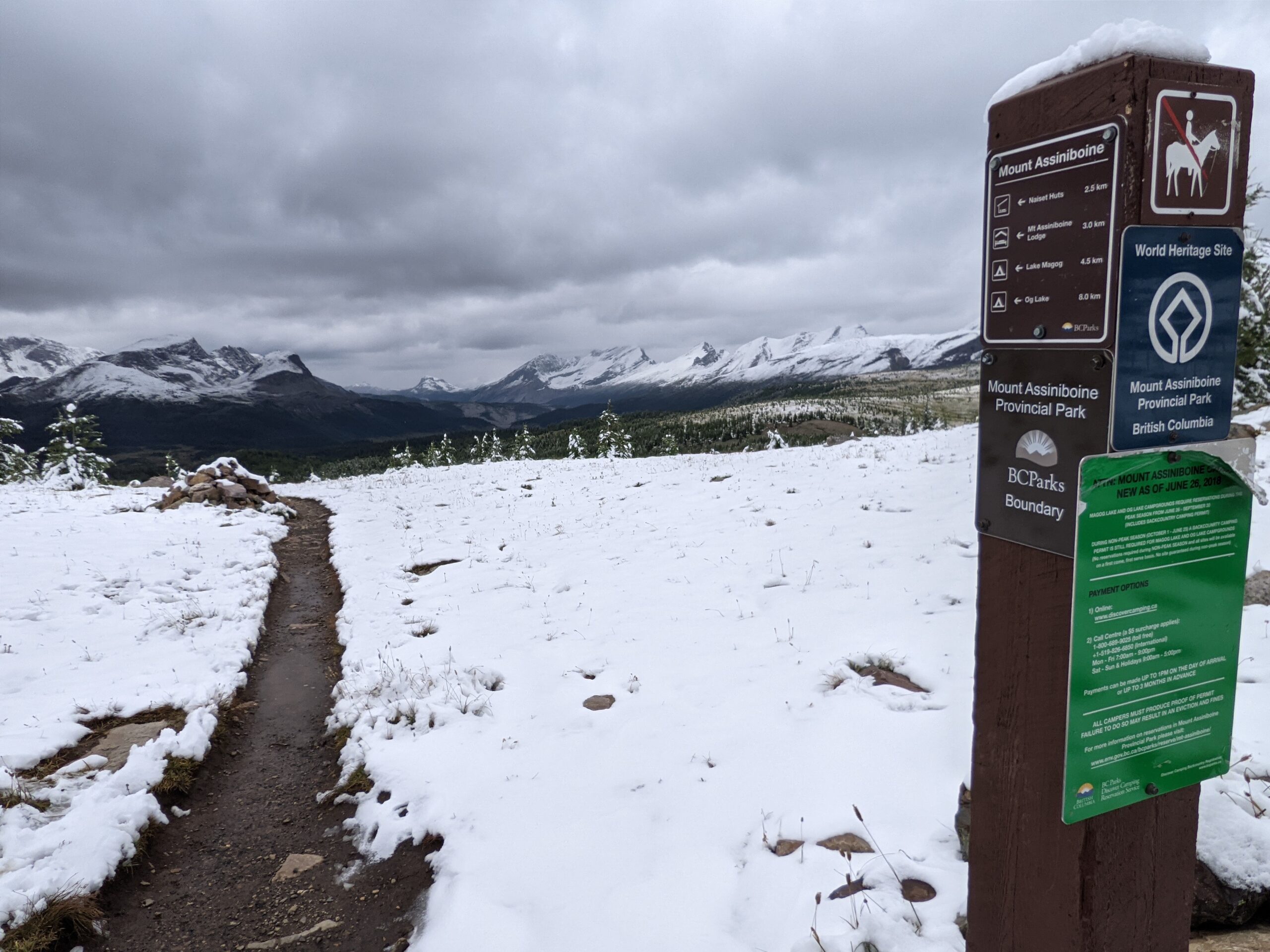
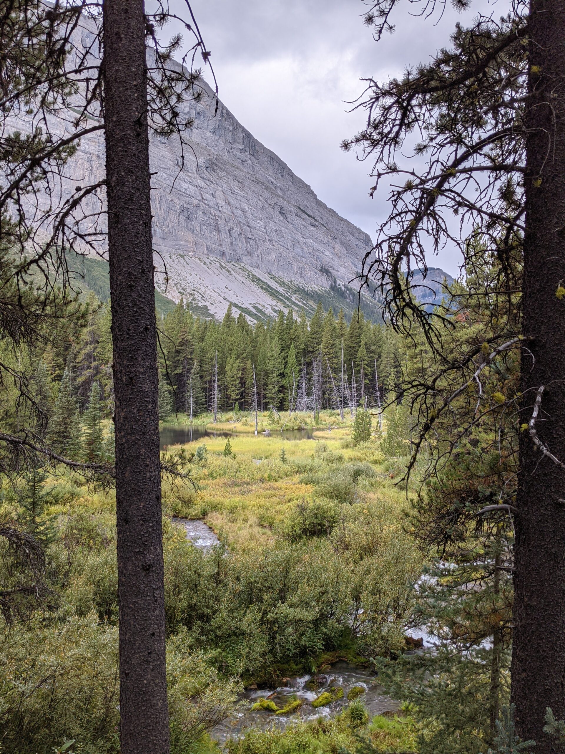
So this hike is great for geology lessons, and for incredible views of the slide and the pass. I heartily recommend it for a dayhike, even with kids!