No Bears, Just a Mouse
We were very pleased by how quiet the teenagers were that we shared the campground with. After retreating to our tents for the night, they stayed by the fire with their chaperones and cleaned up after a late dinner. The only issue was the water pump. We were camped near it, and in order for them to clean up, they had to pump it. It was noisy, but Cheryl had a solution: earplugs. With them in, she had no complaints. The teenagers kept their voices down when walking past our tents and took care of their evening responsibilities.
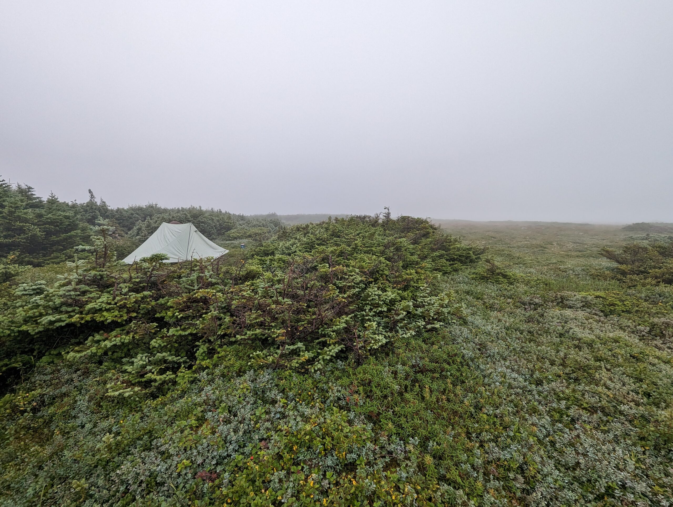
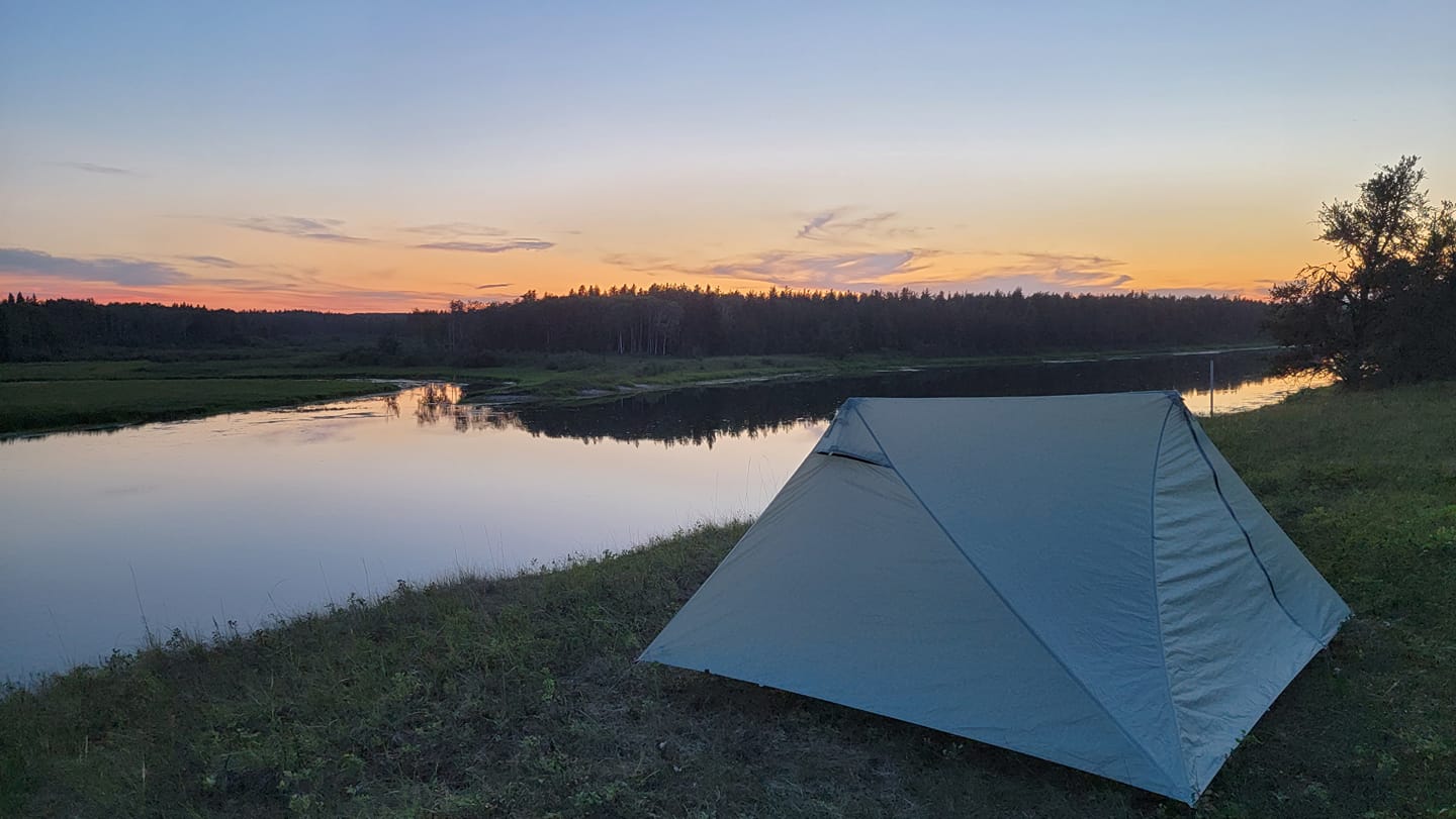
I cannot say the same about the mouse that decided to visit Cheryl’s tent that night. With her earplugs out, she woke to the sound of something hitting the tent. Watson lifted his head, alert but calm. A dog not growling is a good sign, so there was no need to worry. Still, seeing bear scat just a few feet from our tent reminded us that wildlife was nearby, even if the scat was a few days old.
Cheryl lay there a while, listening to the mouse climb a guyline, fall, hit the side of the tent, and slide down to the grass. Watson followed its movements with his eyes. The mouse seemed to prefer the empty side of the tent rather than the vestibule with her backpack. She was not interested in finding a hole chewed into the bag or straps destroyed.
Once Cheryl reassured Watson everything was fine, they ignored the mouse and fell back asleep. By morning, it was gone, leaving no damage behind.
Day 2: Cabin 3 to Cabin 4 Jackfish Lake via Newfoundland Loop
Leaving Cabin 3 on the Newfoundland Loop
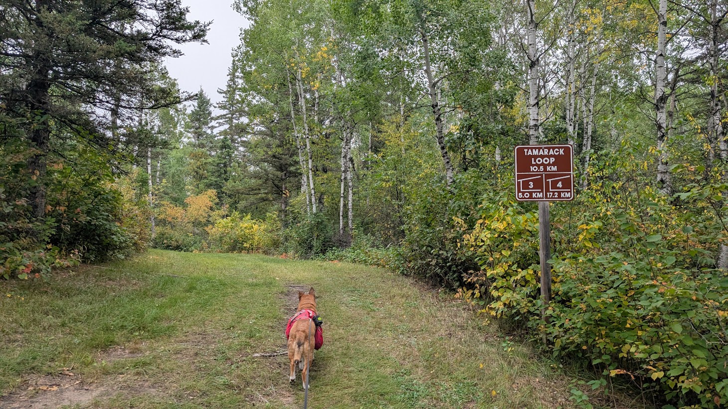
Epinette Creek Trail is well signed, and with the mowed grass, you will not get lost. There is a sign to the Newfoundland Loop by the cabin showing the distance if you follow the north or south sections. We chose the longer north route on Day 2 because our plan was to hike from Jackfish Lake to the trailhead on Day 3. Shortening the distance on the final day, which would have been over 20 km, seemed like a wise decision.
We packed up while the campground was starting to stir and learned about a shortcut to the trail behind the picnic tables on the hill near the water pump. Rather than walk by another tent with a dog, we took the shortcut. We were quickly on the trail and began the north loop.
North on the Newfoundland Loop
One thing you notice about the Epinette Creek Trail is the signage. There is a “Do Not Enter” sign in one direction and a distance marker in the other. This is because the trails are also used in winter, and the directional signs help prevent collisions and keep trails in good condition. We happened to be going in the same direction as the signs, so we continued without issue. If you were trying to follow the south route, the signage could be a little confusing.
The trail was as wide and well-groomed as the previous loops. To our right, there was a large open area where we could see the south loop before the trails eventually separated.
We had been told about a hill with rocks on the north side, and they were right. The rocks were smooth stones, not jagged rocks embedded in dirt. It seemed as though a truck had dumped the rocks to make a road accessible for maintenance vehicles. The ground in this area was sandy, which would make it challenging for vehicles if the trail was wet.
The trail crossed a few dirt backcountry roads that saw little use. We were unsure if these were quad trails or maintenance roads. We stayed on the groomed trail, keeping straight unless a sign directed otherwise.
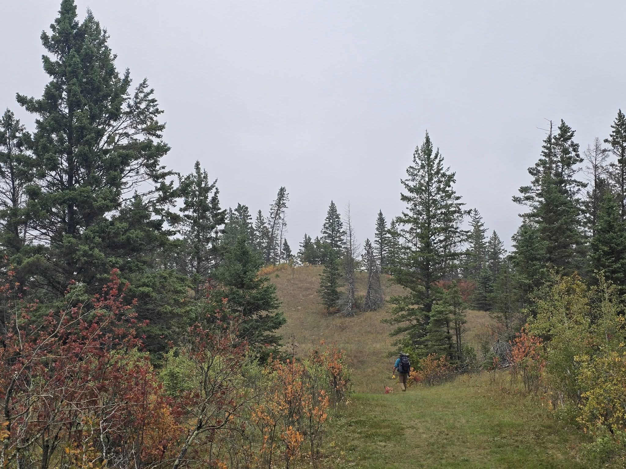
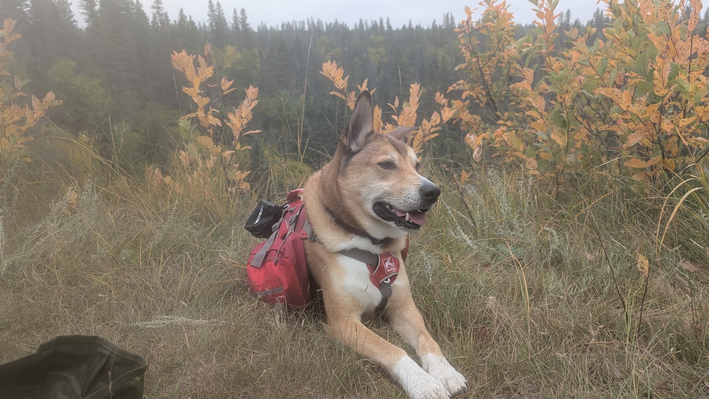
The Newfoundland Loop had more rolling hills than the other loops. The scenery changed frequently, sometimes reminding us of the Thompson Valley in British Columbia with grasses and unusual trees, then shifting to aspen forests or spruce-lined paths. There was always something new to look at, and the fall colors were bright.
A Short Break
Although our Garmin watches later reported otherwise, it became very hot at one point, so we took a break in the shade for lunch. Watson had water from his collapsible bowl and a small meal from his pack. There are no water sources along this section of the trail. Previously, we had crossed the beaver dam creek, and the cabins with their water pumps were relatively close.
Covering approximately 13.5 km with a dog and limited water meant we had to be mindful of consumption to make sure Watson had enough. We decided to carry extra for the hike out to ensure neither of us needed to ration.
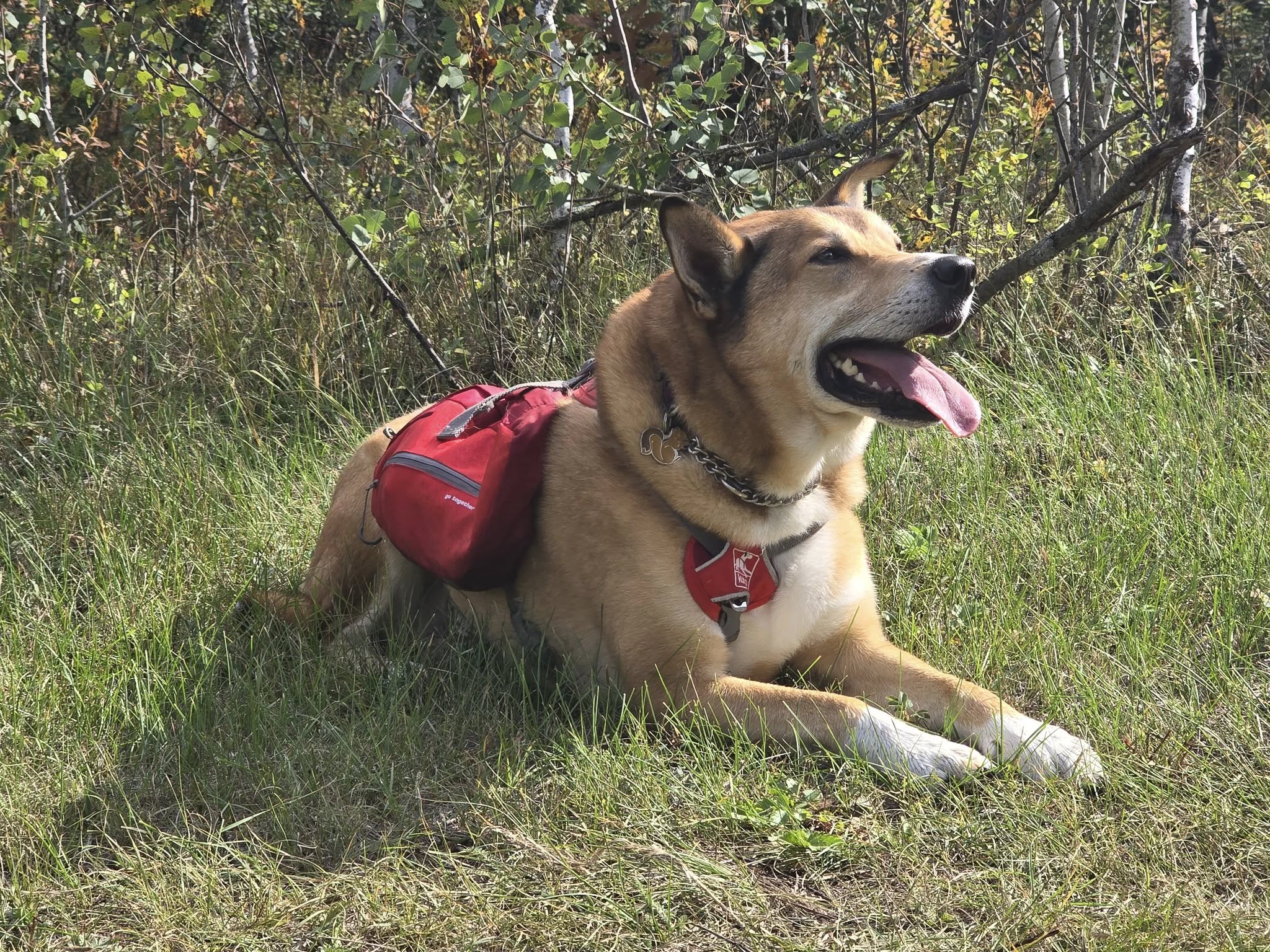
We strongly advise hikers with dogs to pack plenty of water for the Newfoundland Loop when hiking in warmer temperatures. Your dog will thank you.
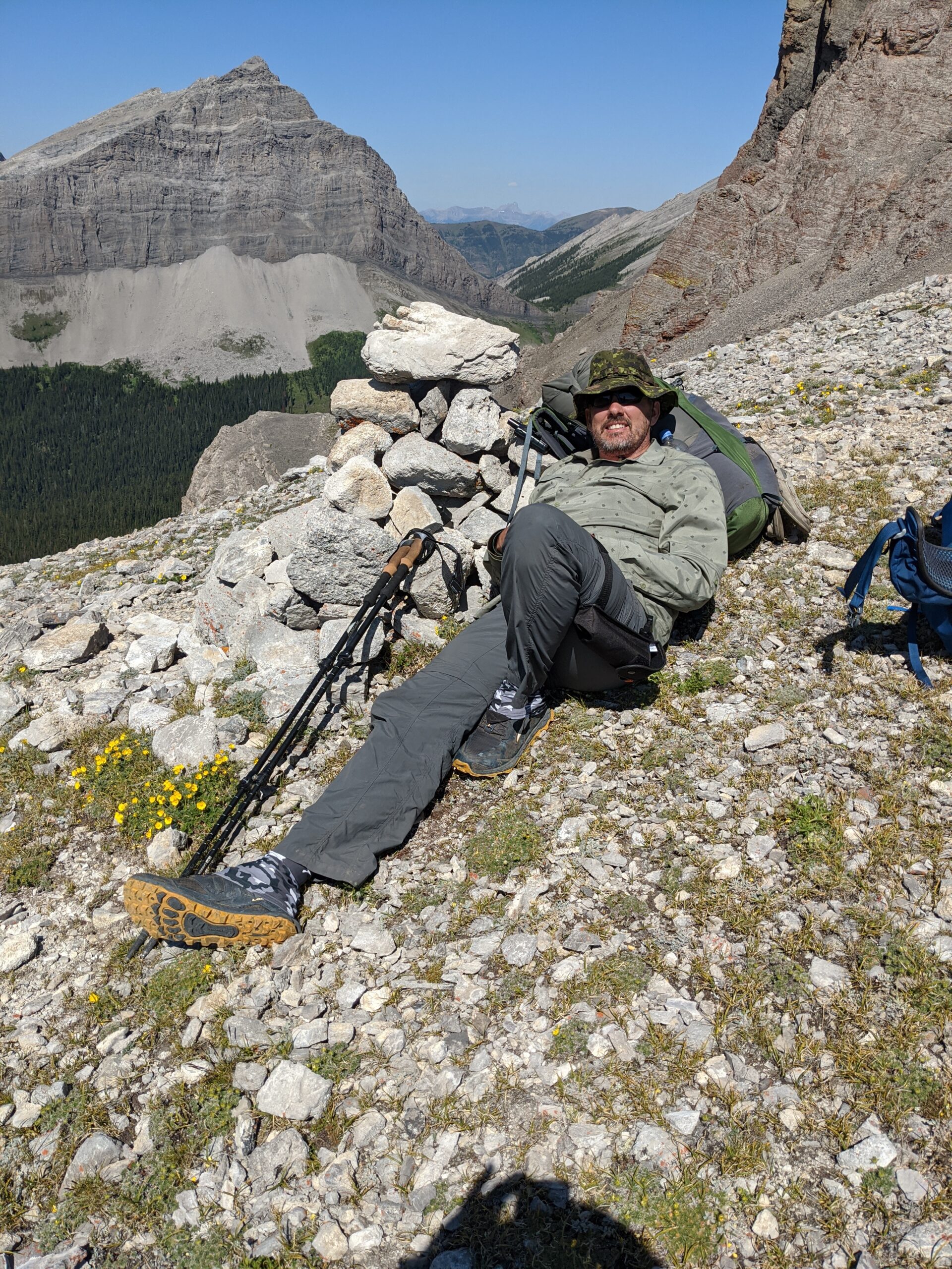
Hiking Apart on the Newfoundland Loop
This hike was also an opportunity for Cheryl to do a semi-solo hike. We brought radios to communicate, and for the final six kilometers, Cheryl hiked alone while Oliver stayed behind with Watson. This gave her the chance to get comfortable hiking a good distance apart from the group.
A couple of grouse tried to derail the plans, hiding in the brush beside the trail until Cheryl was very close. Just as she passed, they would suddenly explode into flight. The sound of their wings is startling at first because it mimics a larger animal charging through the forest, which is an effective deterrent for predators. It can make a hiker jump if you are not expecting it, especially in a quiet forest when you think you might have disturbed a bear. After an initial scare, Cheryl quickly realized it was just a grouse and continued on.
This happened multiple times along the trail. Each time, the grouse would wait silently in the underbrush and then take off at the last moment. Cheryl found it both amusing and slightly frustrating as she had to pause each time and shout at the noise, before recognizing its source.
Other than the grouse, the hike alone was uneventful. Despite the brief surprises, the trail remained peaceful, and the semi-solo hike gave her confidence in hiking independently while staying in touch over the radio.
Arriving at Cabin 4
The final approach to Cabin 4 included a gate to prevent vehicles and a stone-covered hill descending toward the last kilometer. The path led to an open area with picnic tables, and to the left were cabin amenities, including an outhouse, water pump, and firepits.
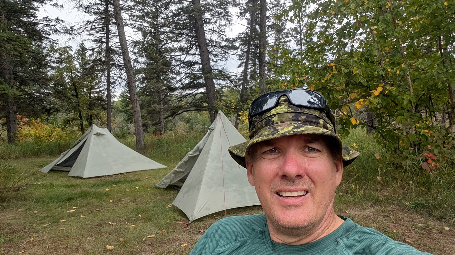
As the first to arrive, we pitched our tents under trees, which was ideal. There could have easily been space for a third tent. The campground had plenty of room, so anyone arriving later would have had a spot to pitch a tent.
We enjoyed a relaxing afternoon after the longer hike, hydrating and resting. After dinner, we put our bear canisters in the cabin like at Cabin 3. With chores done, we could relax until bedtime. Watson had a good snooze on the ground, cooling himself before other hikers arrived.
Evening in Camp
Oliver started a campfire in the firepit, and we had a great evening connecting with the other hikers. Conversation ranged from hiking trails to gear choices, and it was enjoyable to share experiences. Two additional hiking parties had chosen the Epinette Creek Trail because the Mantario Trail was closed due to the summer forest fires. We enjoyed hearing about the Mantario Trail from those who had hiked it before and learned what to expect when it reopens.
The discussion shifted to gear. We compared Durston tents, including two we had and one from another hiking party that was brand new. Chair comfort and weight were debated, and we discussed hiking quilts versus sleeping bags. Tarp tents and water-carrying strategies all came up. It was helpful to hear the perspectives of others and see what gear choices worked best for different hiking styles.
The rain, which had lightly sprinkled over dinner, eventually increased, ending our campfire conversation for the night. Everyone retreated to their tents, but it was still rewarding to be part of a small community of hikers. Sharing stories, learning tips, and swapping experiences made the evening a memorable part of the hike.
Newfoundland Loop Conditions and Scenery
This section of the trail is approximately 13.5 km. Although signage may read 11.7 km, the distance is longer from Cabin 3 because of the connector trail to the loop split. You will see a sign indicating about 2 km left when your Garmin shows 11.7 km. Be prepared for slightly longer mileage.
As mentioned, there are no water sources after leaving Cabin 3 until Cabin 4. Carry enough water on hot days, as there are no streams or creeks along this section.
This section has more rolling hills than other loops. Besides the stone-covered hill after Cabin 3, the hills are gentle but consistent. Uneven areas come from clumpy grass, cleared downfall, or tracks left by maintenance vehicles. The trail is mostly hazard-free.
While Epinette Creek Trail does not offer sweeping vistas, the prairies and colorful fall leaves create a beautiful scene. The trail passes through different landscapes, from tree tunnels to open fields, with mushrooms and flowers scattered along the way.
Cabin Amenities and Tips
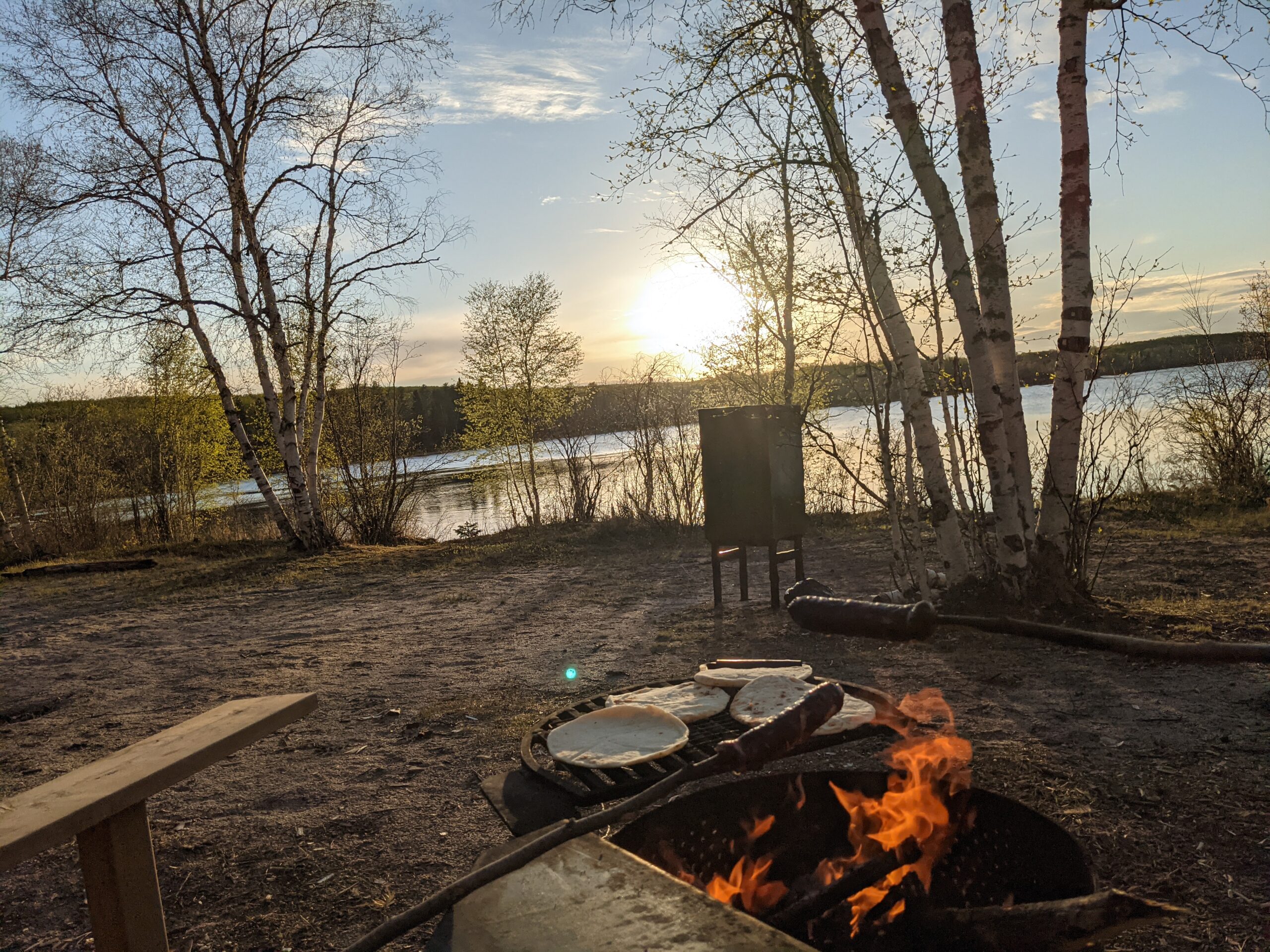
Water: The pump at Cabin 4 was not as noisy as Cabin 3. We’d still recommend getting water the evening before to minimize the impact on others.
Outhouses: There was hand sanitizer at Cabin 4’s outhouse and there was less odour, most likely because this outhouse saw less use than the others due to the distance.
Firewood: There was still lots of firewood at Cabin 4 in September.
Final Thoughts on Epinette Creek Trail – Day 2
Day 2 on the Epinette Creek Trail had more hills than Day 1. The distance between cabins was longer, which meant we needed to carry enough water to last until reaching Cabin 4.
Even though we were hiking a longer distance on Day 2, the trail was easy, and we arrived at camp early. This gave us a relaxing afternoon to sit back and do nothing. While Jackfish Lake is accessible, it is not really a swimming lake. You might wade in it, but it is more like a pond than a lake.
Since Cabin 4 is not used as much, the campsite felt cleaner than Cabins 2 and 3. The outhouse was less full and had the bonus of a working hand sanitizer dispenser. We were also happy to see the bear-proof garbage and recycling bins still available 20 km into a backcountry trail. We made sure to dump our garbage again before settling in.
Cabin 4 is the furthest point you can reach on the Epinette Creek Trail before starting the south loop back toward Cabin 3. One of the hikers that day went all the way from the trailhead to Cabin 4, covering 20 km, and planned to hike out the next morning. If you prefer shorter hikes, you can stop at the cabins along the way or on the return trip instead of doing the full distance. We covered 20 km on Day 3, but that is a story for the next blog.
Day 2 Summary
- Date: September 13, 2025
- Distance: Cabin 3 to Cabin 4 (Jackfish Lake) – ~13.7 km / 8.5 mi
- Elevation: 614 ft
- Amenities:
- Cabin 4: Pit toilet, warming cabin with wood stove, water pump, firepits, picnic tables, bear-proof garbage and recycling bins
- Water Sources: Only available at cabin water pumps.
- Wildlife: Deer tracks and plentiful bear scat. Coyotes yapping in the evening.
- Navigation: Wide, mowed trail with clear signage to the next cabin. Don’t turn on the roads that you cross.
- Best Time to Hike: Spring (before ticks) or fall (after ticks)
WATCH THE VIDEO FROM EPINETTE CREEK TRAIL – DAY 2
More From This Hike:
• Hiking the Epinette Creek Trail, Spruce Woods | Day 1
• Hiking the Epinette Creek Trail, Spruce Woods | Day 2 (You’re here!)
• Hiking the Epinette Creek Trail, Spruce Woods | Day 3