
This article first appeared on The Trek on October 28th 2025.
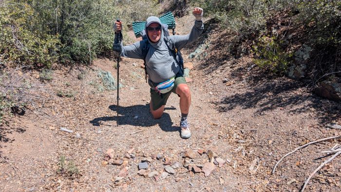
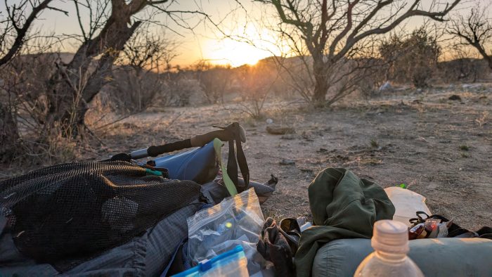
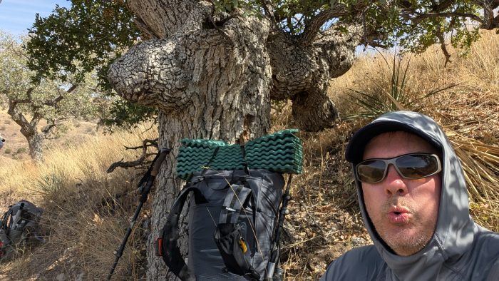
I have no idea why it took so long for me to post this final post on my AZT thru hike in the spring of 2025. Perhaps by writing it I would feel like it was well and truly over and I didn’t want that. Perhaps it was because I took more video than photos on the last few days, and I regret that (so almost all of the below photos are screenshots from my videos). But for those who like blogs, here’s my last one from the trail.
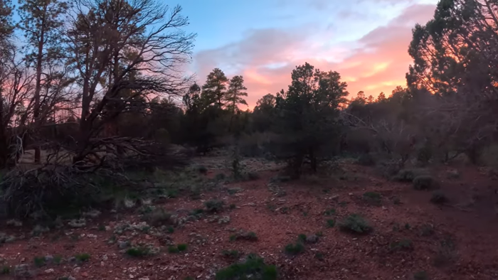
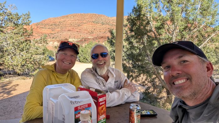
Day 44: Grand Canyon Village & Mather Campground
My stove burner broke the evening out of Flagstaff, so I ordered a cheapo BRS3000 from Amazon to be shipped to the post office in GCV. I also ordered a new pole mount for my GoPro after I realized that was split as well. So on our arrival in the Village I was at the post office. And… Neither arrived. Checked again on my zero… No dice. Ended up having to cancel both orders. Luckily the General Store had an MSR PocketRocket burner, so I grabbed that to use with my jetboil pot.
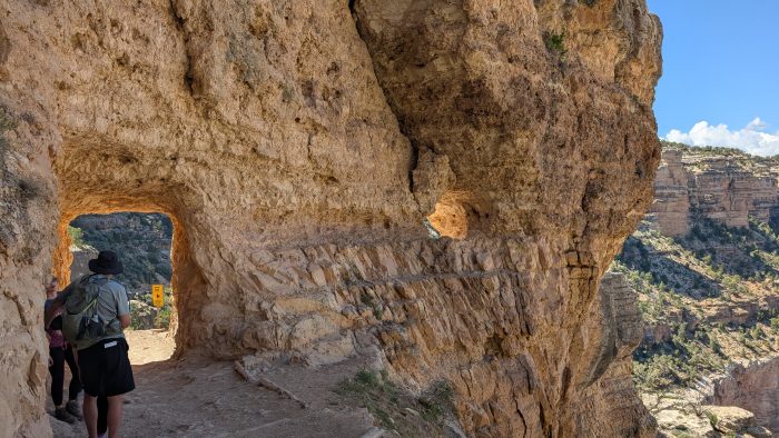
We spent the day just enjoying the relatively sparse crowds compared to high season. Took in the first mile of Bright Angel Trail but we could not take it down as the construction on the water lines do not allow access to the Colorado at the bottom. The AZT this year follows South Kaibab instead. Still staring into the big hole all day did at least give me some time to get used to the environment. Sorta.
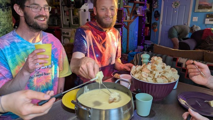
We had one last nice dinner at the Bright Angel Steakhouse. Excellent ribs by the way. Then we retired to the campground for an exciting morning.
Watch Day 44 of Oliver’s Arizona Trail series:
Day 45: South Kaibab Trail, Phantom Ranch & Cottonwood Campground
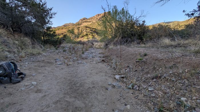
We were delayed a little because the bus we needed to South Kaibab would not come to the Mather Campground until 7:30. But we weren’t worried because we only needed to make 16 miles to Cottonwood Campground.
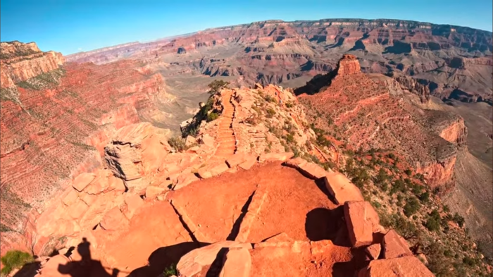
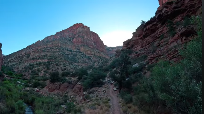
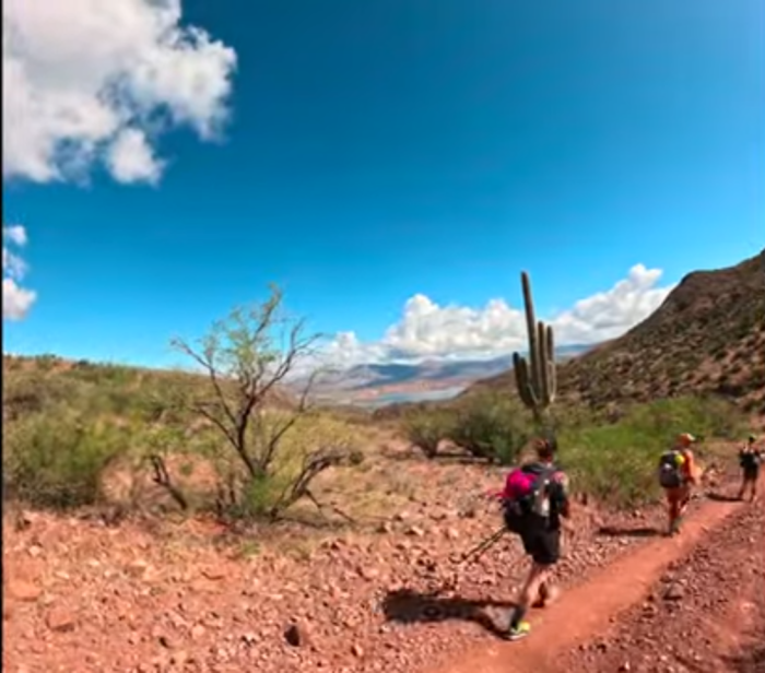
South Kaibab is steeper than Bright Angel. We hoped it would be less trafficked, but it was not to be. Even the mules were on the trail! However being perhaps the busiest piece of trail we would hike on the entire AZT I really enjoyed the social aspects of talking to people from all over the world, visiting perhaps one of the most famous attractions in the USA. Mixed in were athletes hiking Rim-to-Rim or Rim-to-Rim-to-Rim, and we saw it all. We even saw rangers busting underprepared hikers, either not prepared for the sun, without enough water, or putting themselves in other danger.
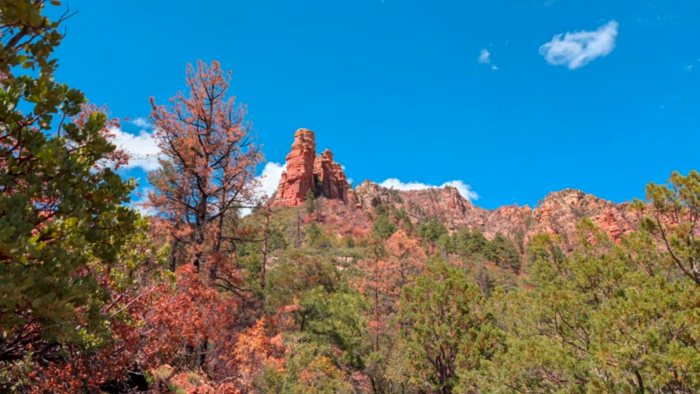
As I approached the Colorado, I had to be in awe. Every few steps was another astonishing vista. Words do not do it justice. In retrospect, NoBo really is the way to do the AZT because the Grand Canyon becomes the climax of the experience. And a worthy climax it is too.
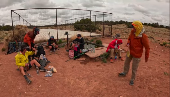
A special treat awaited us when we reached Phantom Ranch. My information indicated it was closed before I set out on the AZT but when we reached it, it was open and serving ice cold lemonade! 6 dollars was a small price to pay in the heat of the canyon.
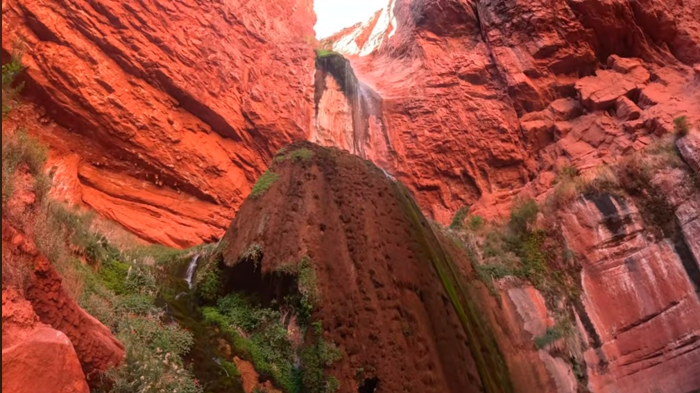
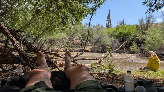
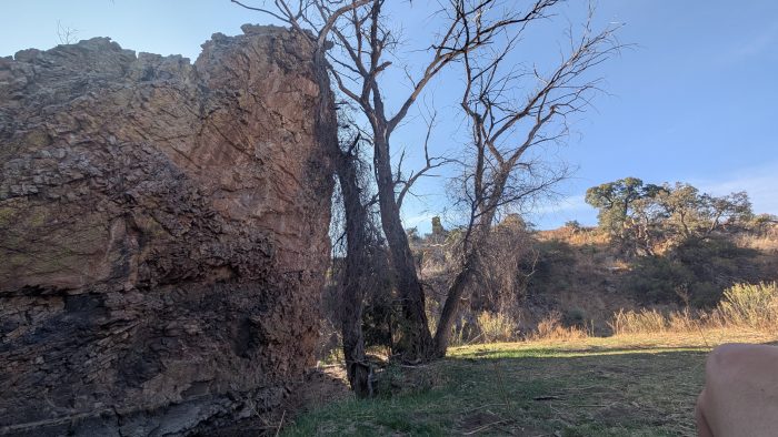
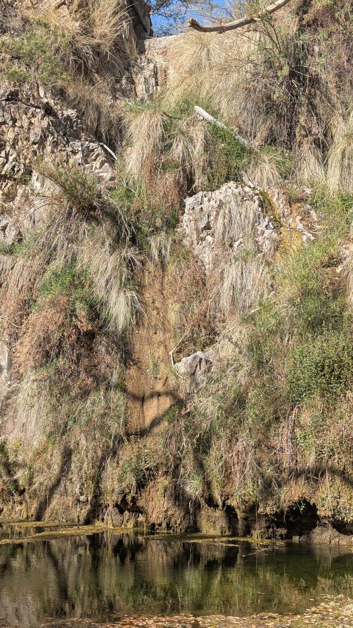
After some tasty refreshment (and some entertainment as a squirrel was attempting to break into unwatched backpacks) we began the journey up North Kaibab, following Bright Angel Creek. Again, stunning views as the canyon flirted with slot canyon status. A couple miles short of the campground we decided to take a side quest, Fording the creek to go in search of Ribbon Falls.
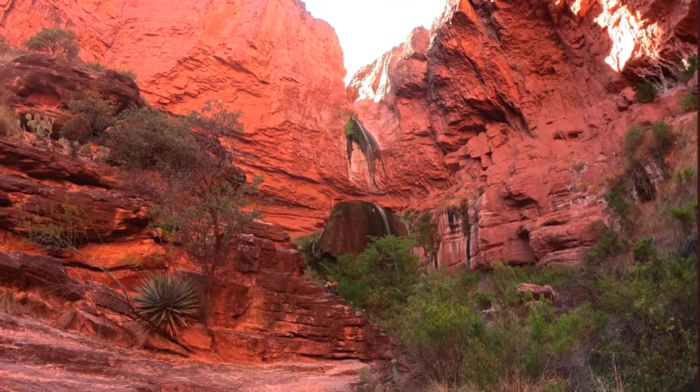
I highly recommend this side quest.
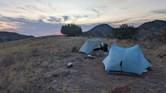
The camping spots in Cottonwood left a bit to be desired. Both spots for AZT hikers were at the far north end of the camp, farthest from the creek and water, as well as the toilets. And cramming 3 or 4 tents onto the cramped, hard packed tentpads was not an easy task. The terrain around the tentpads was not conducive at all to overflow. That said, we got a good night’s rest, and food storage box was secure enough to protect from rodents.
Watch Day 45 of Oliver’s Arizona Trail series:
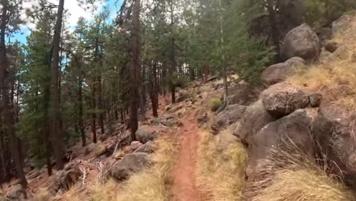
Day 46: North Kaibab Trail & North Rim Gate
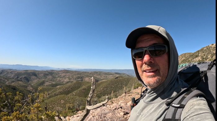
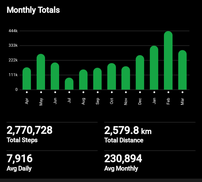
What a day! As we packed up I found myself staring up at the northbound trail, wondering just how I would respond to a lesser used, probably not as wide or as hiker-friendly a trail as the South Kaibab had been. Plus, the peak elevation on the North Rim was to be over 9000 feet so we had more climb to come than probably any single day we had hiked. (Looking back on my planning notes, I had originally estimated the climb out of Roosevelt Lake to be the biggest one day gain. But the actuals show that this was my biggest one day gain at 5876 feet of vertical!)
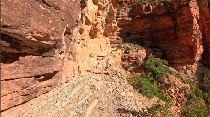
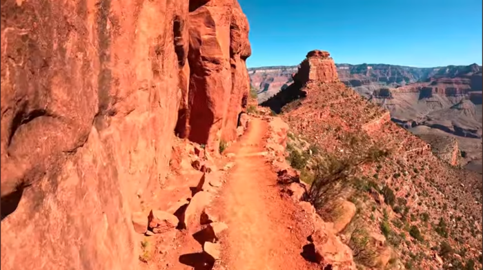
My trepidation was earned. The trail north for a long stretch had been blasted out of cliff faces. The rock hung over my head and dropped off into an unknowable abyss on the other side (well, it was probably knowable, but I wasn’t going anywhere near the edge to look!) I set my mind to the task and persevered, telling myself that despite my fear, I had to persevere, because going back was not an option. That said, I did enjoy my rest breaks on the climb, when I could set my pack down and set my back against the cool rock and look back at the death-defying trail I had just traversed. Some bird had a call on this stretch that mocked me, sounding like the whistle of Looney Tunes falls from the endless battles of Wile E. Coyote and the Roadrunner.
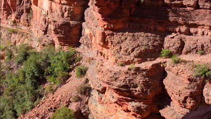
About a half mile from the top, the combination of elevation and exhaustion took me out, and I had to pause as I fought off nausea. Thankfully, I did not get any sicker, and after 20 or so minutes of rest I struggled up to the parking lot, where my hiking companions awaited my arrival, and recorded my steps over the last giant sized stairs.
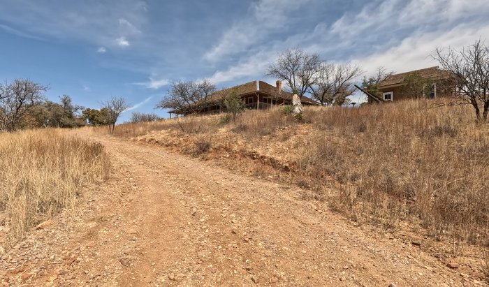
As we examined our options for water resupply (the taps at the trailhead were still off), a group of friendly staff from the lodge who had walked a mile down the trail to pass some time offered to give us a lift up to the lodge taps, which were on. That saved us 3 miles of sidetrail! We happily accepted and after refilling our water, lunched at the trailhead.
Our afternoon was much easier, walking over wooded terrain on very old access road/trails. The trail was very reminiscent of our afternoon after conquering the Mogollon Rim. We passed electrical boxes which resembled green plastic coffins. I joked that they housed the North Rim Vampires who come out at night. But all of us were tapped out from the climb, and found ourselves resting often throughout the afternoon. Being close to the end and having left behind the last major obstacle, we felt much less urgency.
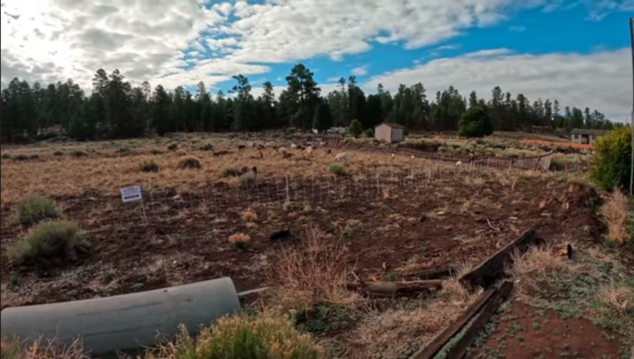
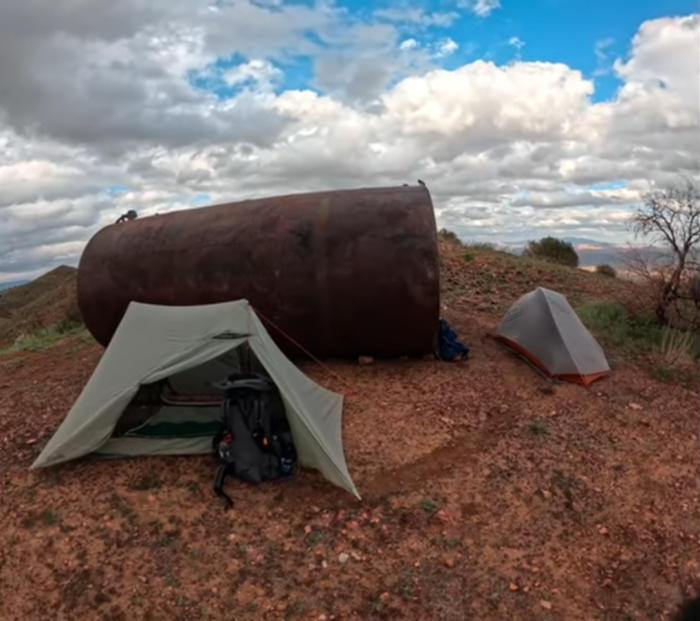
Our day ended as we reached a caretaker’s cabin adjacent to the North Rim Gate. We found a public toilet there, almost at capacity because the season had not yet begun and it had not received any maintenance since the fall. A van rolled up revealing a trail angel who was supporting her husband hiking just ahead of us and restocking some of the caches. She blessed us with some treats and water, and advised us it was fine to camp near the cabin, which we did. We did not do as many miles as we had hoped, (16.6 miles) but it was enough.
Watch Day 46 of Oliver’s Arizona Trail series:
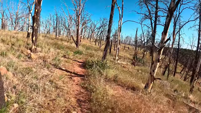
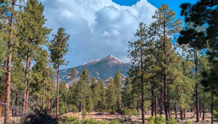
Day 47: North Rim Watchtower & Telephone Hill
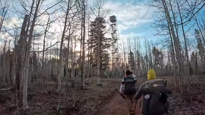
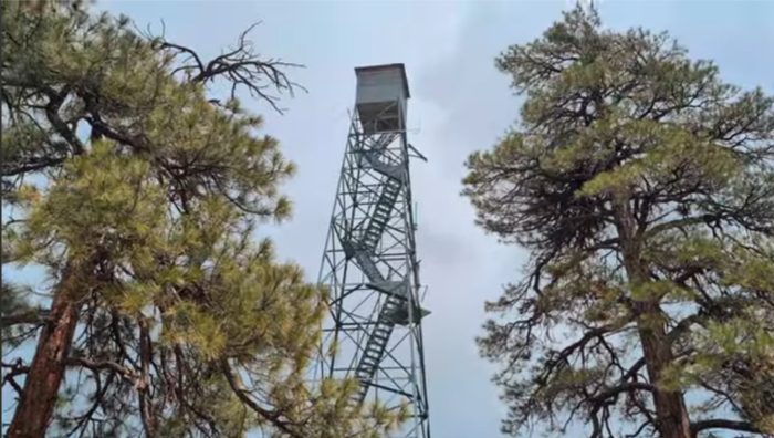
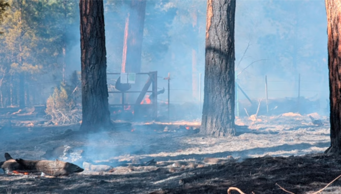
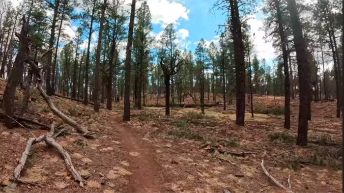
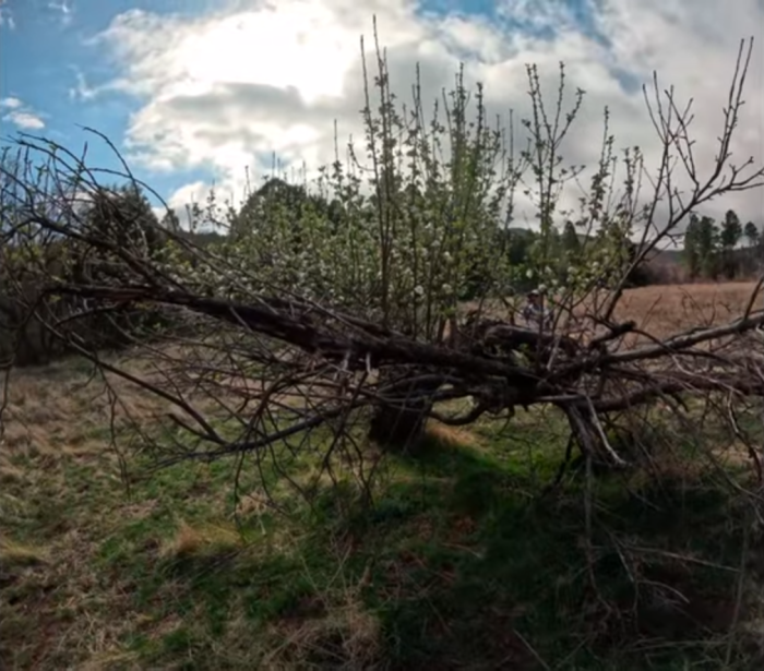
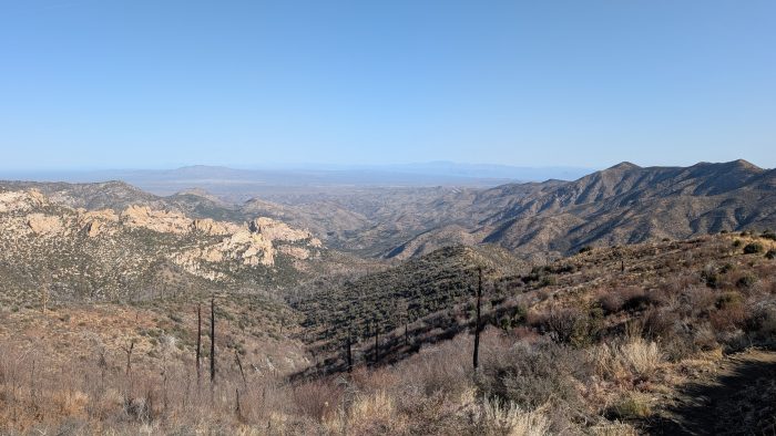
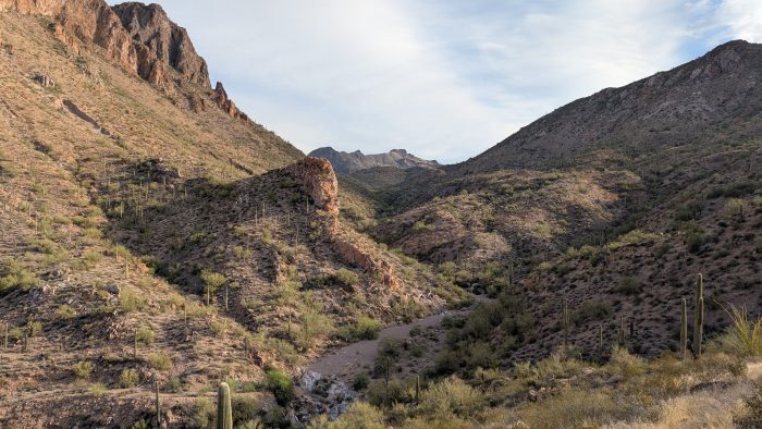
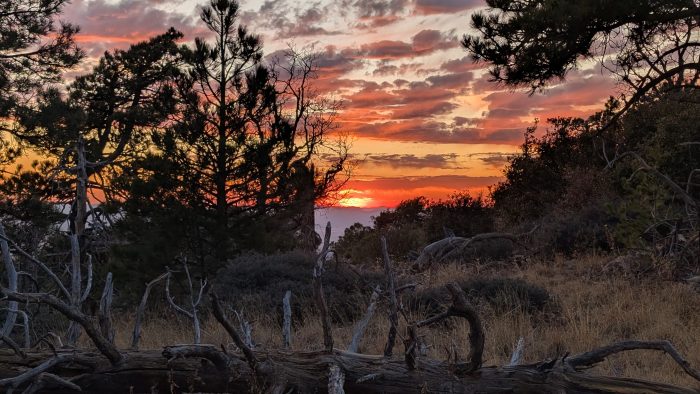
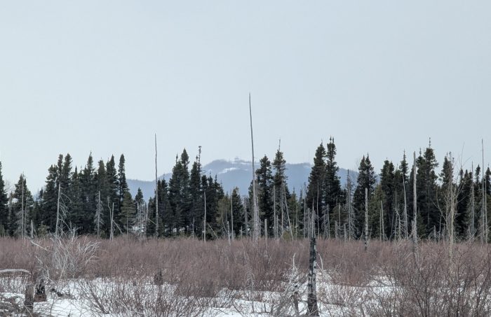
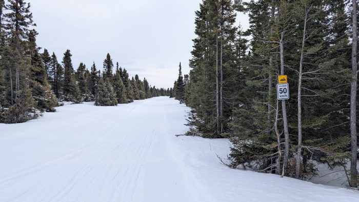
Early in the day we were able to find the fire watchtower and take some photos there, which was a very short side trip. Sadly, the top of the tower was locked just like Grandview. We found ourselves walking through open glades between stands of pine all day. These open glades seemed natural, though in my experience openings like this tended to be boggy affairs, these ones were pleasantly dry. We encountered a couple vestiges of snow on the trail, but no more than 20 or 30 feet at a time, easily bypassed.
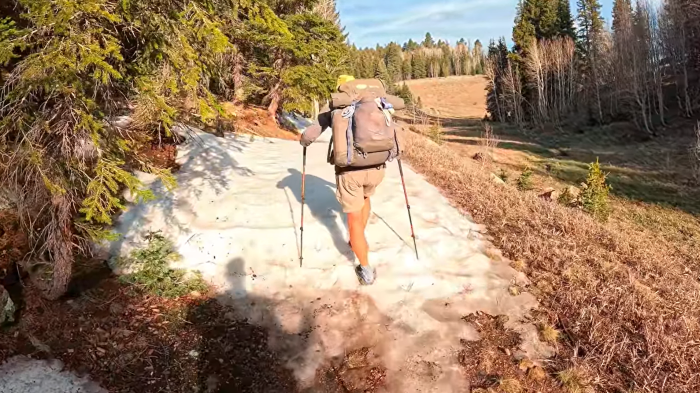
Easy walking, combined with another unique landscape caused the day to pass quickly, until we reached the old burn area around Telephone Hill. A stocked water cache was there which set us up for camp, but the open, windy conditions had us worried that a suitable camp spot may not be found. We met up with the same trail angel at that cache as from the day before, and had another pleasant chat, then walked down the hill into a patch of young aspen trees, and hoped that they would be enough to keep the wind from pounding us all night. The ground was heavily hummocked which didn’t make for the best pitch of our tents or smoothest ground to sleep on, but the hummocks were earth rather than stone so the sleep was reasonable. With the easy terrain and a good night’s rest, we were more than happy with almost 23 miles today.
Watch Day 47 of Oliver’s Arizona Trail series:
Day 48: Orderville Trailhead & Jacob Lake
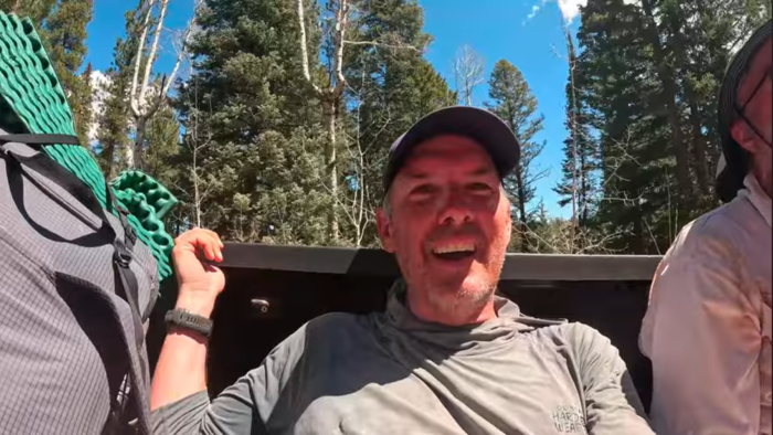
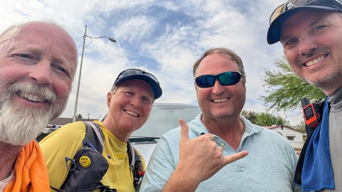
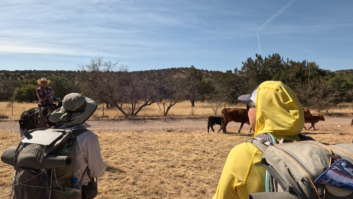
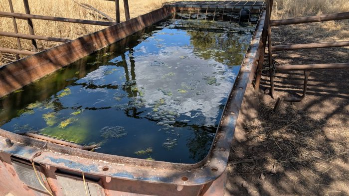
Our morning wound along access roads used to fight the fire when it burned over the area, and the wind continued to pummel us but the sun was out, so spirits were high. We met up with another hiker named Sweet Time during a morning break, she was hiking faster than us, so we quickly waved goodbye. At one point, Cheers found his trail legs and blasted ahead of Take Charge and I, and we didn’t see him again until a wildlife tank some 6 miles ahead. We bumped into Sweet Time again, and saw evidence of our trail angel friend at a campsite with a toilet, and found out that Sweet Time had plans to meet her girlfriend at a trailhead adjacent to Jacob Lake at 2pm. We considered that, and decided to try to make the miles necessary to arrive at the same time, to get a lift into the gas station/restaurant/campsite/resupply point early enough to make some more miles afterwards. Luckily the ground cooperated and we went even faster than we thought, finally catching up to Cheers and arriving at the trailhead an hour before the pickup.
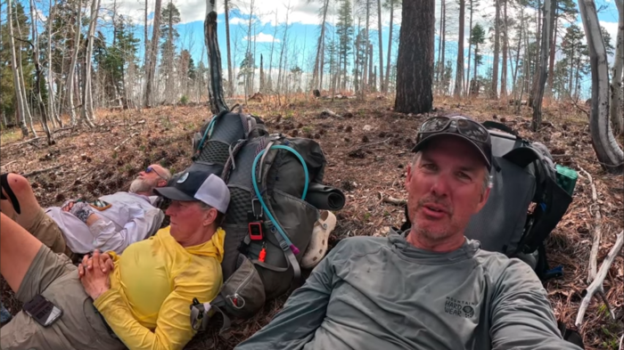
We shared an awesome late lunch together, realizing that our time together was avery quickly drawing to a close, which tinged our conversation with some bittersweet angst. We talked about the possibilities of hiking again together in the future, and our conversation finally came around to our finish. Did we want to camp short of our goal on day 49 and stroll into the border campground on the morning of Day 50 as we had arranged, or shoot to end the afternoon/evening of Day 49? With the march being mostly downhill into the finish, we decided to push some 6 miles more tonight, then see if we could reach the border on the 49th day. It appeared other hikers we had seen had pushed hard to finish early, so we would not see people like Ballsack and Cliffhanger, or Lisa from Germany again.
Resupply at Jacob Lake was not the greatest, and the campground at the gas station was not yet open and accepting people, so our decision to push on was a good one. We got enough for one more day on trail though, and thought we could always camp at the border campground and await our pickup the next day with relaxation. We set back out and found a random spot to camp just shy of another burned area, 21.5 km total for the day. “Our last trail camp together” was shared with laughter and one last “Poor Man’s Pad Thai”.
Watch Day 48 of Oliver’s Arizona Trail series:
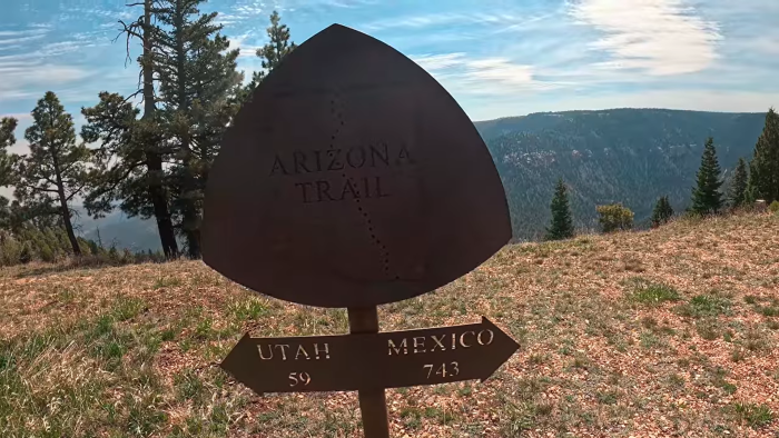
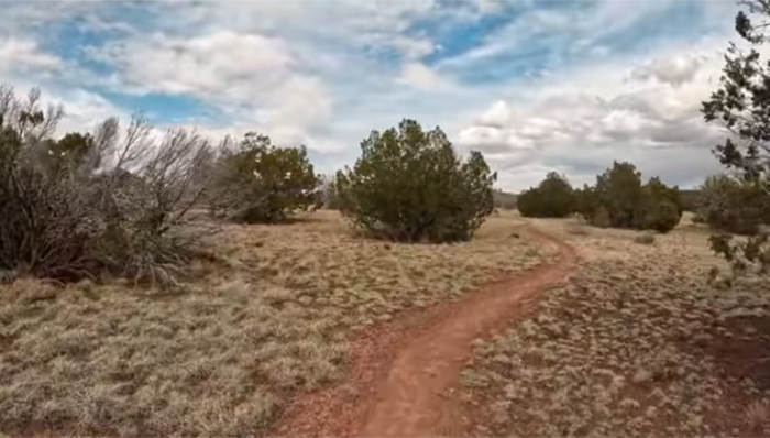
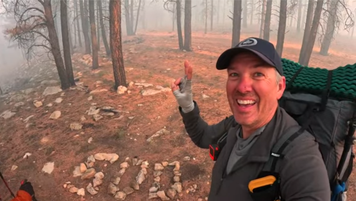
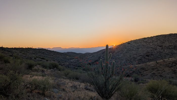
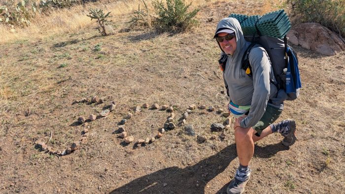
Day 49: The Utah Border & Stateline Campground
Another windy start but sunny, we proceeded into the burn. We were surprised to observe an especially large gust of wind rip the top off a dead pine and drop it on the trail about 200 yards from us. This caused us to hurry as fast as we could through the deadheads. The trail dropped down onto a flatter area and wound along the eastern edge of a very large open glade. The trees became smaller once again, drying out as we approached Utah. I attempted to contact my trail angel pickup, to update her on my new itinerary, just letting her know she could arrive early on Day 50 if she wanted to since we would already be at the campsite. But reception was spotty and it was not until late in the day we were able to communicate. Much to my surprise she offered to come out this evening!
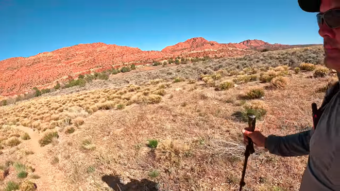
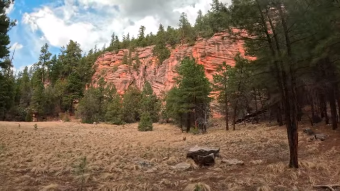
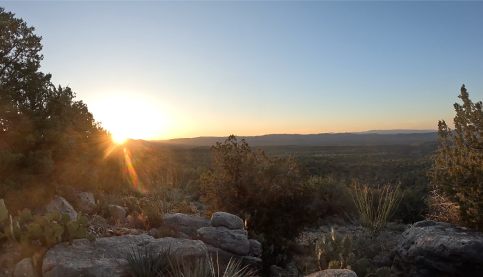
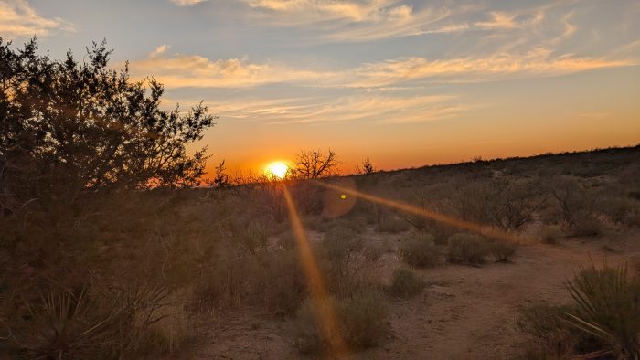
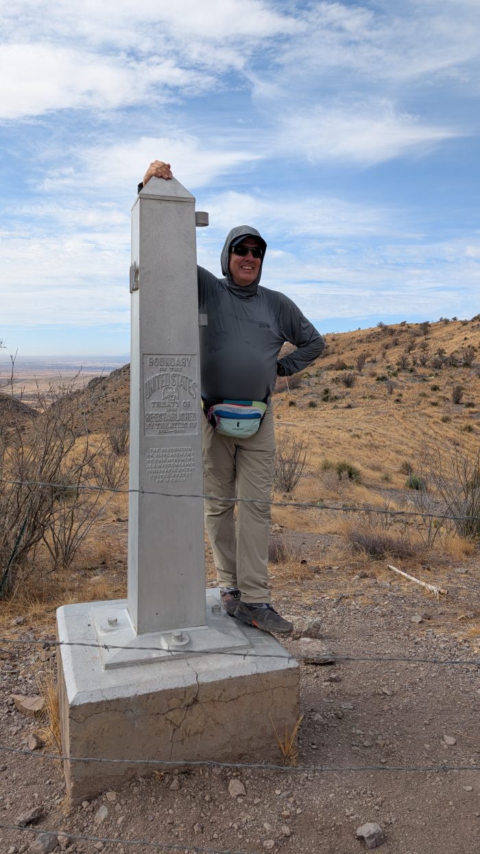
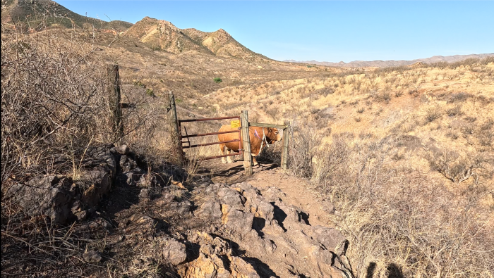
Gradually as we wound through the hilly terrain, we began to catch glimpses of what must inevitably be Utah. Pink cliffs peeked out, getting more and more vivid as we edged closer. We reached another wildlife tank with only 6 miles left – this was where we had planned to camp before, but it was only 3pm so our confidence of finishing today became even greater. We burst out into the open with views right down to the narrow valley that coincided with the border. The surrounding terrain was absolutely magical. We tried to guess where the campground was, but it was tucked away and largely invisible until we were in it. A switchbacked descent down into the valley, a quick crossing across a grassy field, and suddenly the monument!
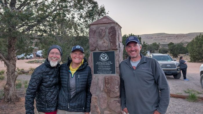
The campground was well appointed, except for water. Sun shelters over well built picnic tables at every campsite, excellent privies, and a very friendly atmosphere. The place was PACKED with people, which was a surprise because we imagined a rustic barely frontcountry camp far from civilization and realized this was a popular staging ground for people to visit the Grand Staircase National Monument, the “Wave”, and other beautiful natural wonders. Thankfully, another thru-hiker named “Lightfoot” (from Norway, she’s an incredibly experienced hiker!) had secured a site and welcomed us to her space. I hung out with my friends, reminiscing about the trail and our experiences until 7pm when my ride showed up to whisk me off to an in-law suite to clean up and prepare for my journey home.
What a trail! What an experience! I am so grateful to my wife for supporting me in this mission, holding down the fort with our teenagers. She is determined to have her own experience like this and true to our relationship, plans to show me up by doing the Appalachian Trail in 2027! I am looking forward to trail angeling for her and watching as she challenges herself and meets all the weirdos and strangers who like hiking so much they do it for months at a time! I am thankful that in this season of my career I was able to do this, that vacation days could be lined up to take the time away, and my chain of command supporting it. I am also incredibly grateful for the community that surrounds the Arizona National Scenic Trail – the trail angels, the trail maintenance teams, the trail stewards, the organizers at the Association who liaise with all kinds of stakeholders without whose support this trail could not exist.
I think I will do one more post on my adventure on the aftermath – how I have felt after returning to “real life”, whether all went as planned, what benefit it has made to me in terms of health. Stay tuned for that!
Watch Day 49 of Oliver’s Arizona Trail series:
Video Links:
- Day 44 – Watch on YouTube
- Day 45 – Watch on YouTube
- Day 46 – Watch on YouTube
- Day 47 – Watch on YouTube
- Day 48 – Watch on YouTube
- Day 49 – Watch on YouTube
More From This Series:
- Arizona Trail 2025: Days 38 to 43, Flagstaff to the Canyon, Fickle Weather
- Arizona Trail 2025: Days 44 – 49, The Grand Canyon, Kaibab Plateau, and UTAH! – (You’re here)

