
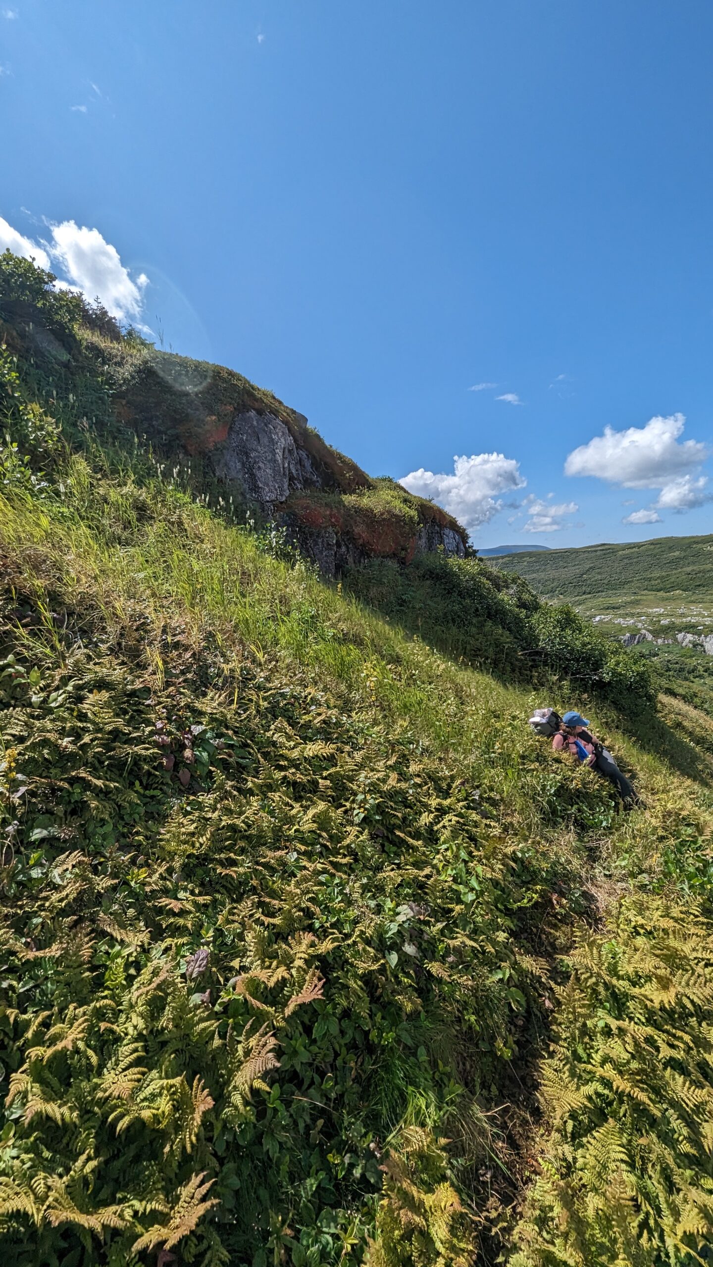
The following days was likewise perfect weather – partly cloudy and warm but not hot. We hoped against hope the Tuckamore was behind us. It was not to be. There were stretches where the going was easy and we were able to pick our way over stony stretches. But there was a lot more up and down today. And worse: the tuckamore we encountered lined the walls of the valleys we traversed! Now we had to fight the tuckamore up or downhill! And when you can’t even see where to put your feet… it was less hiking and more pulling and pushing.
The highlands, where the tuckamore opened into rock-strewn clearings, were covered in berries. low-bush cranberries (locally called partridgeberries), bakeapples (cloudberries to some) and blueberries – millions of blueberries. There is a reason the bears are no trouble up here – they are full of berries! More accessible and less trouble than any hiker’s lunch!
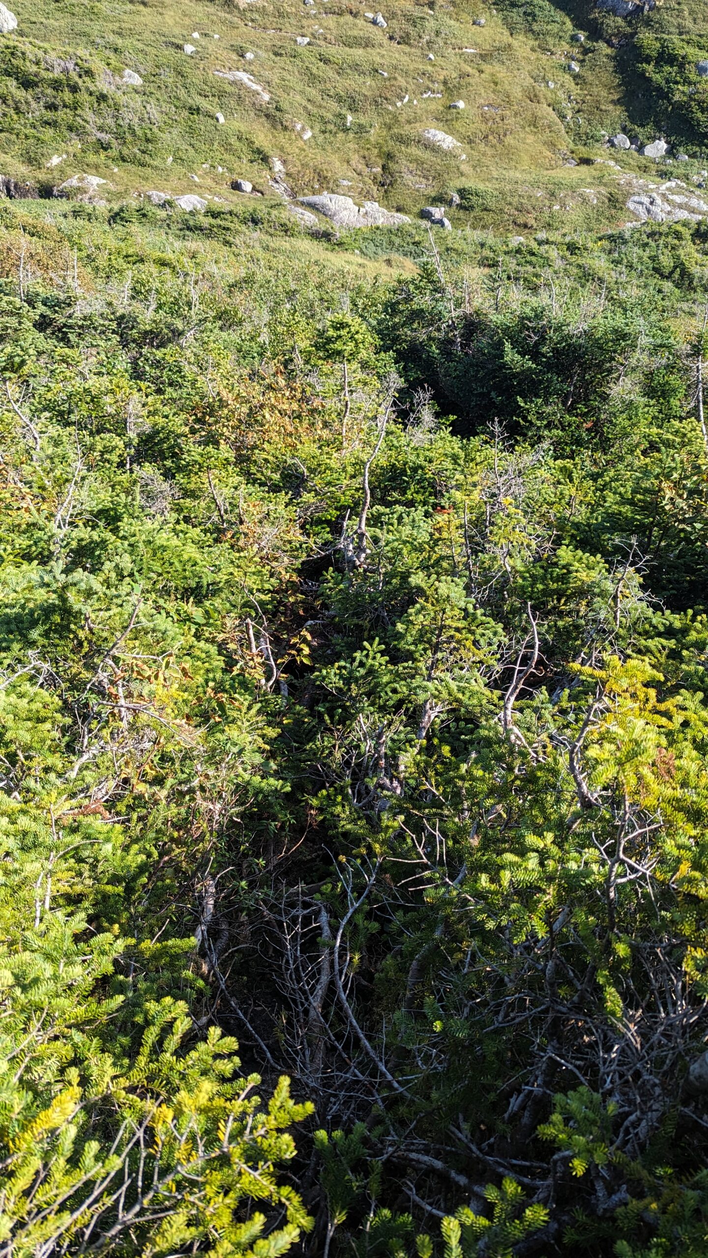
I neglected to mention just how thick and violent the tuckamore was. On the second day as we climbed the headland, at one point I passed a pair of women’s underwear hanging on a branch. We saw a couple coming down on day 1, before we reached Snug Harbour. My guess it was theirs. It must have been drying on the outside of her pack and the branches stripped it clean off without her realizing. We ourselves had brought a small tripod to use with our phones – we arrived in camp this evening with only the phone clamp still attached to my wife’s pack. The rest had been ripped off somewhere in the tangle. We hadn’t even noticed. Brutal stuff. If you come this way, do not keep anything tied to the outside of your pack. You will lose it.
I wish I could show you a picture that did justice to the terrain we crossed on this day. It would just look like thick bush. You wouldn’t be able to see the ground standing like a wall behind it and having to pull myself up it by inches. Or the ground dropping away at other times, and I would find myself walking on branches suspended far from the ground, wondering where the GPS line was, because anything had to be easier than this. I’d find some easy walking, then realize I was 50, 100m off the track. Then I’d have to backtrack.
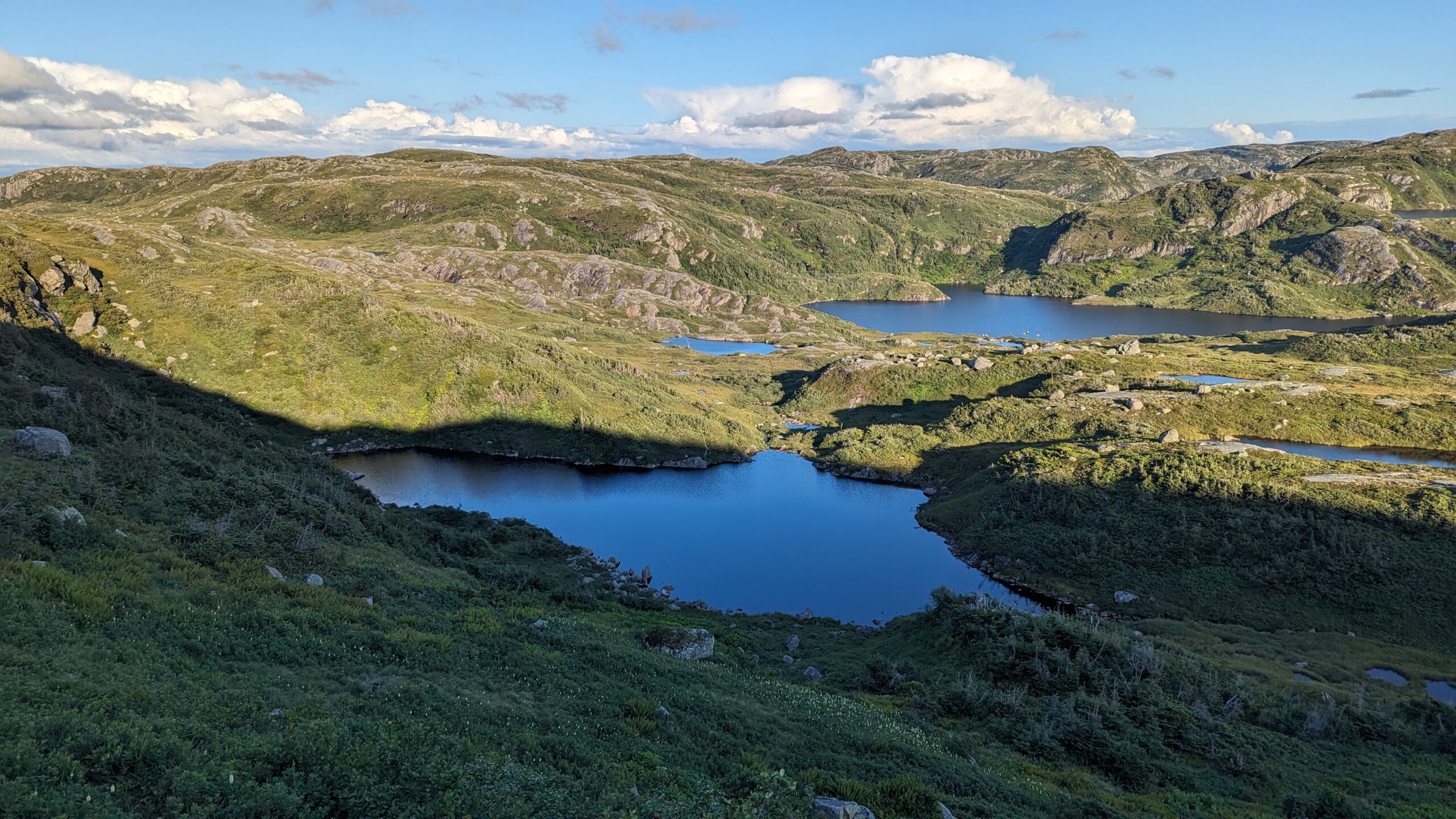
Finally, as the sun began to make its descent, the ground fell away on a steep grassy slope, and a lake was at the bottom – our lake! The next campsite was visible on its shores on a wide open dry grassy area. Signage was clear – there was a toilet there too! The bear locker looked in good repair! I began to rejoice.
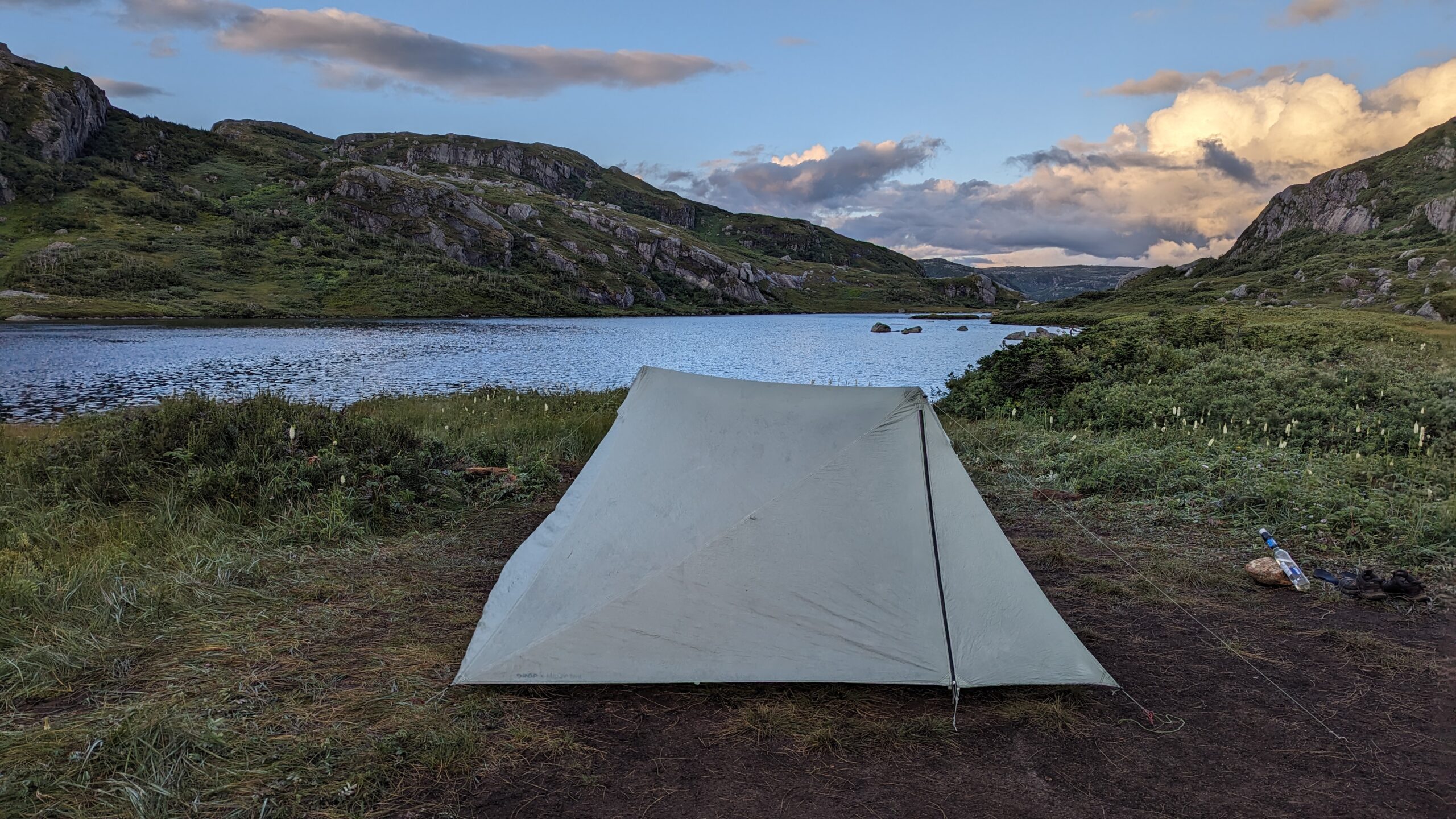
But then we looked at the slippery, narrow, muddy, slick, grass-covered track that others had used to get down this hill. And with tired, aching muscles, we tried to make it down. It was painfully slow. Especially since this slippery track traversed the top of a 50 foot cliff. We picked our way down that hill over the course of an hour, at our slowest pace yet. The sun was fully setting as we shambled into the shockingly flat, dry campsite. No wood platforms needed – it was big enough and flat enough to accommodate a dozen tents. And the ground was loamy and great for tent pegs. The tent went up in a flash and we settled in with a lovely view down another lake which fell away directly into the Western Brook fjord.
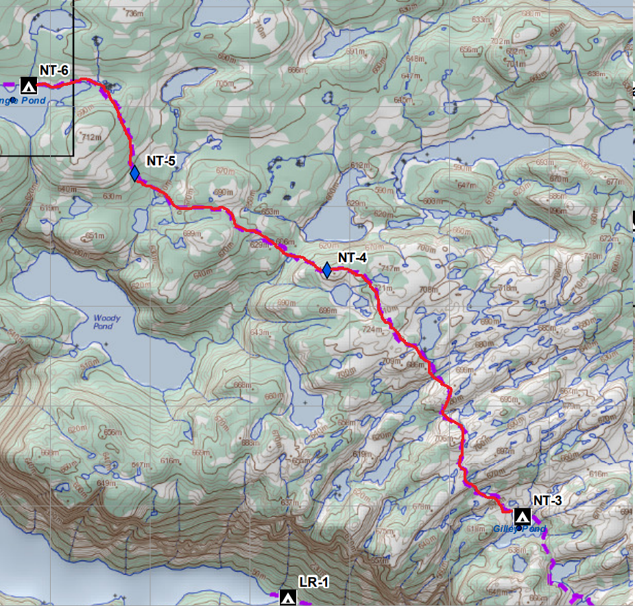
Total Distance: 7.5km by map, 14km by Garmin
Total Ascent/Descent: 3-400m both ways