
After the difficulty of yesterday, I briefly considered whether we should hike down to the boat launch and call it a trip. But my wife does not go half way. She’s all in. She said she was finishing this, and besides, the rest of the way would be on the Long Range Traverse, which by all accounts is easier than the Northern.
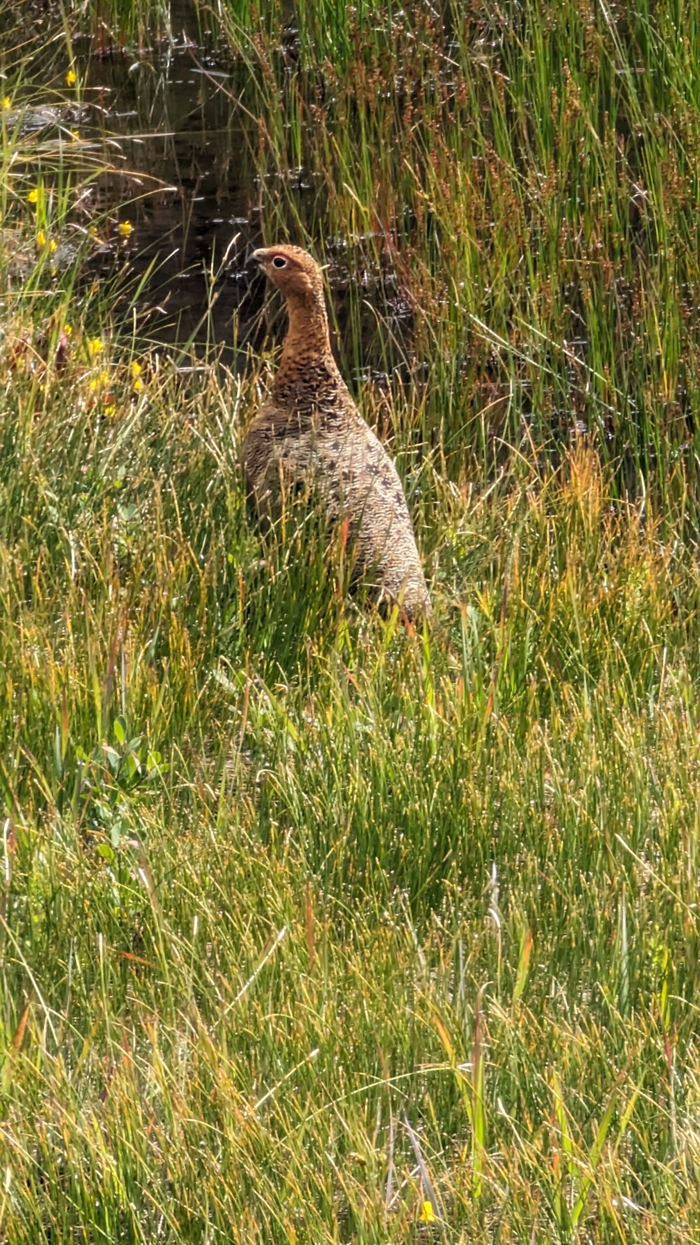
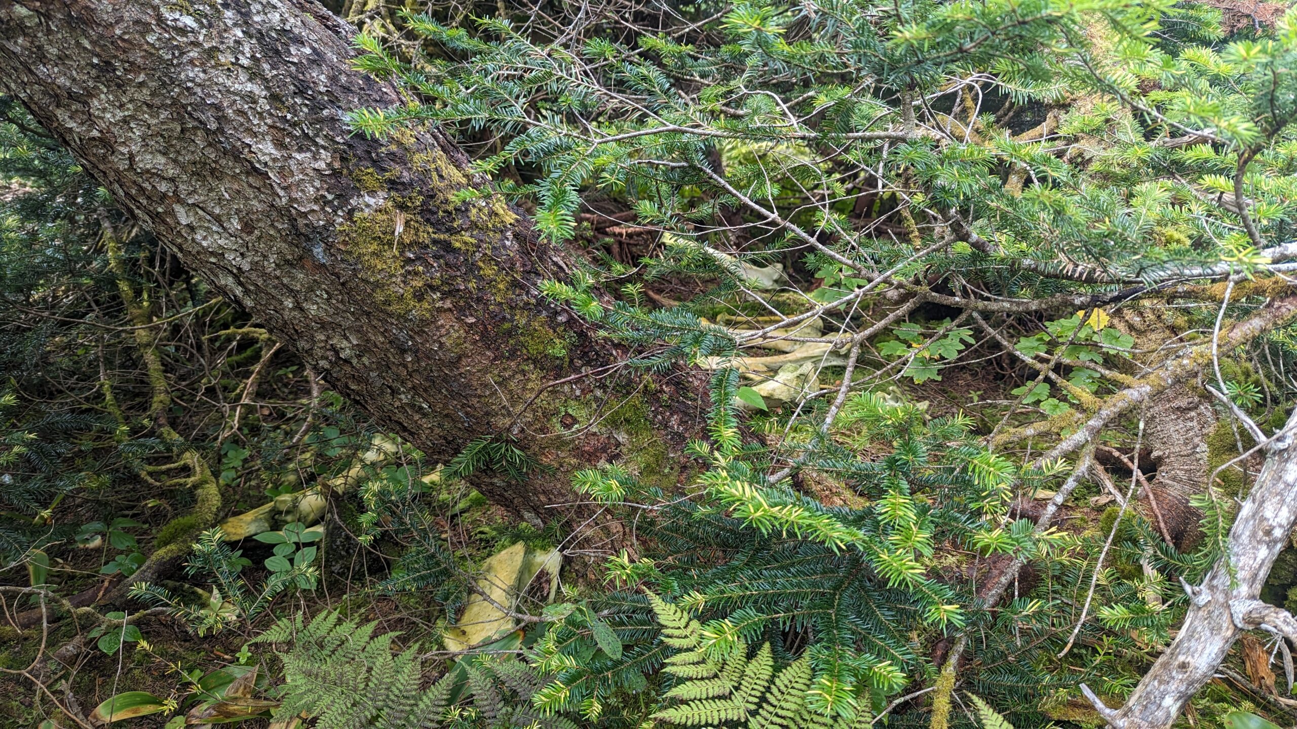
And she was right. The morning started out tough with a stiff climb out of Gilley Pond through thick bush but the trail was clear at least. Then it was up and down a couple more draws, a creek crossing, but thankfully no more real tuckamore. Lots of interesting sights though. A strange bird family hanging out by the trail, and down in a copse of trees by the trail was a little lair with a pile of moose bones. I wonder if a wolfpack had used it as a den.
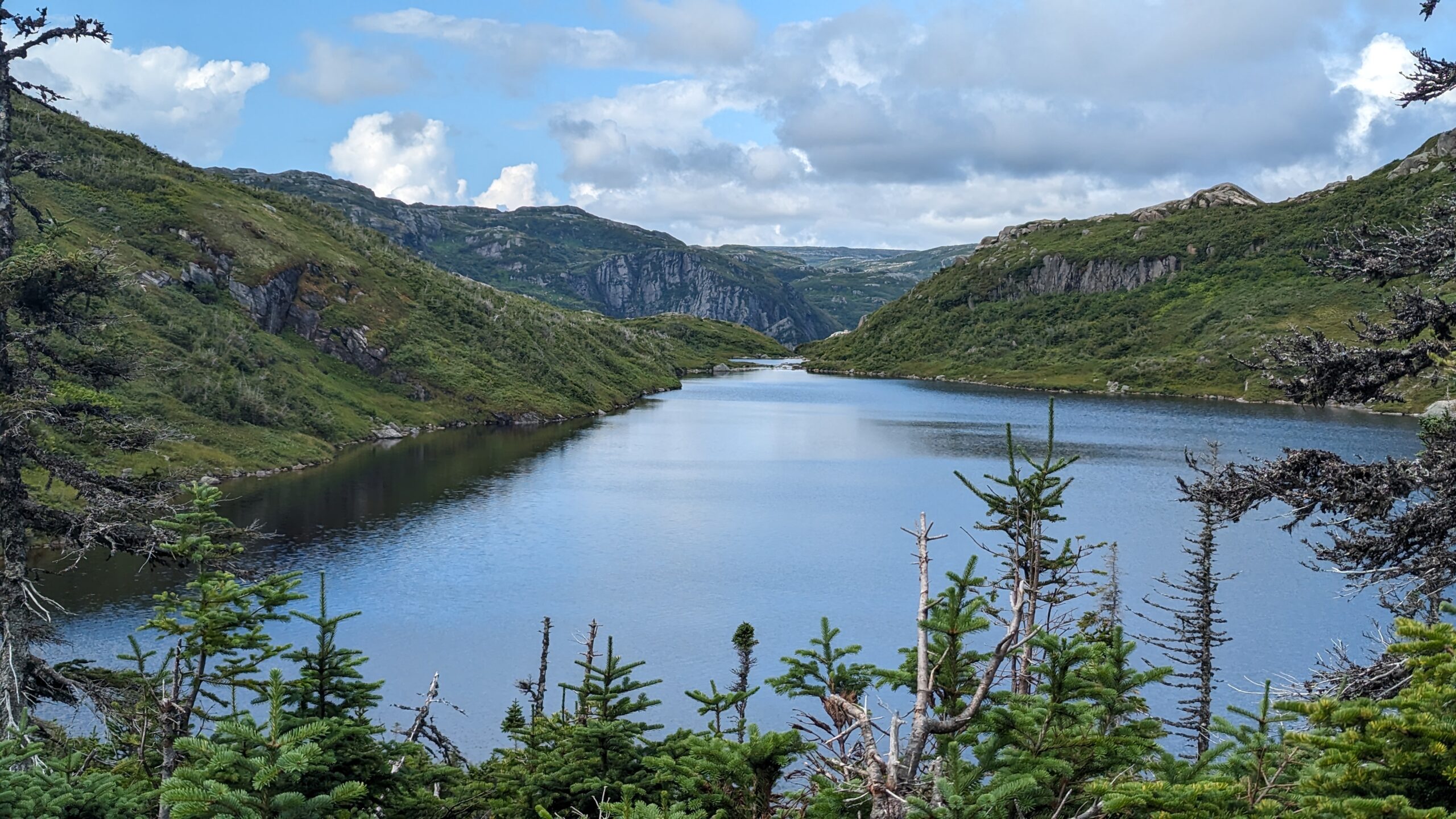
And then we arrived at “the viewpoint”. The place where everyone wants a picture.
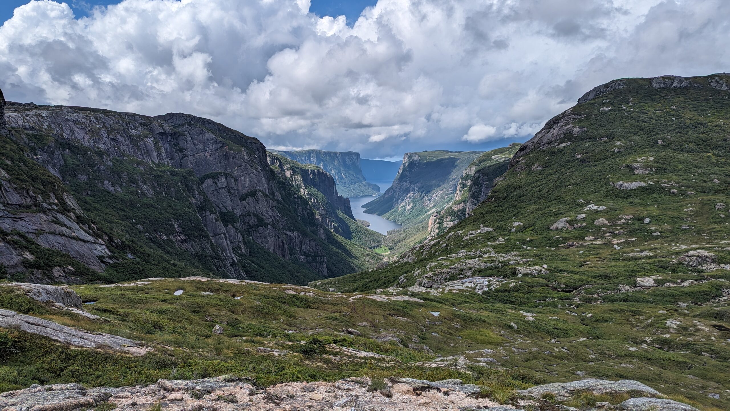
And it was stunning.
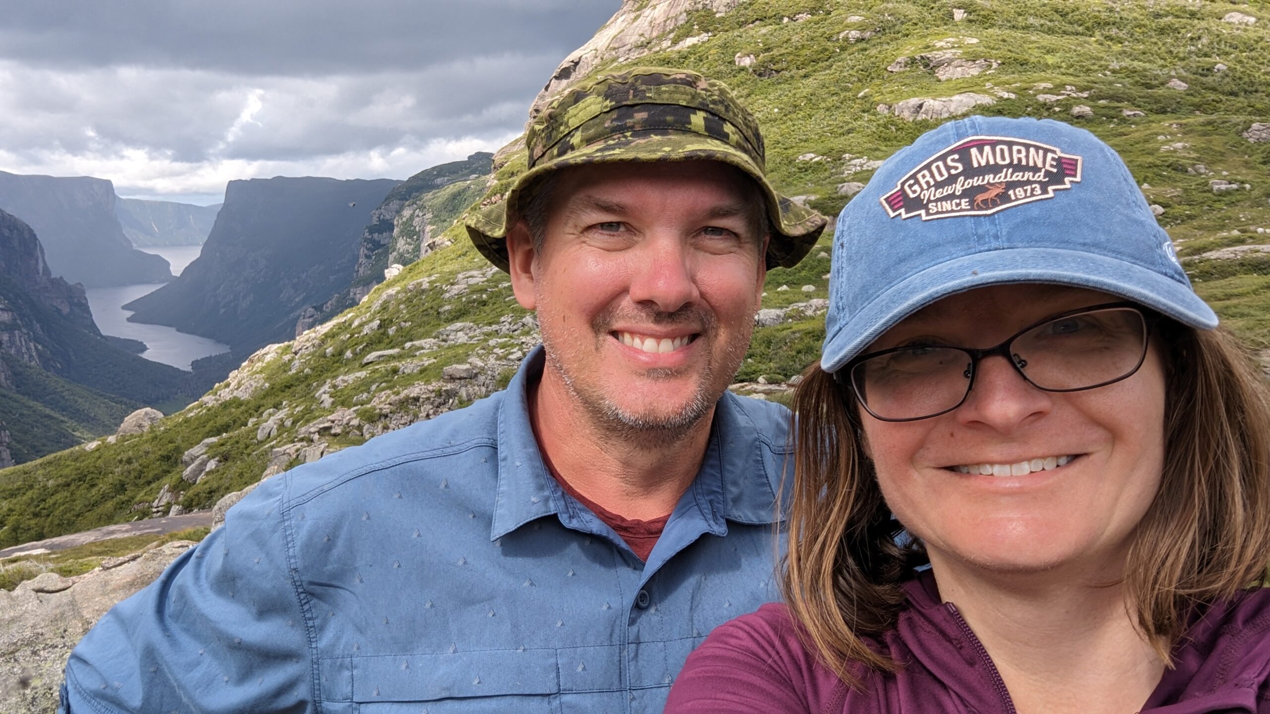
There have only been two occasions in my life where I have looked out over a natural wonder, and thought to myself, “This doesn’t look real. This can’t be real. It is too beautiful to be real.” One was here at the east end of Western Brook Pond. The other was at the Grand Canyon. That’s the scale of epicness.
We lunched at that viewpoint, and rested in the knowledge that at long last, the Northern Traverse was done. Now, on to the easy part.
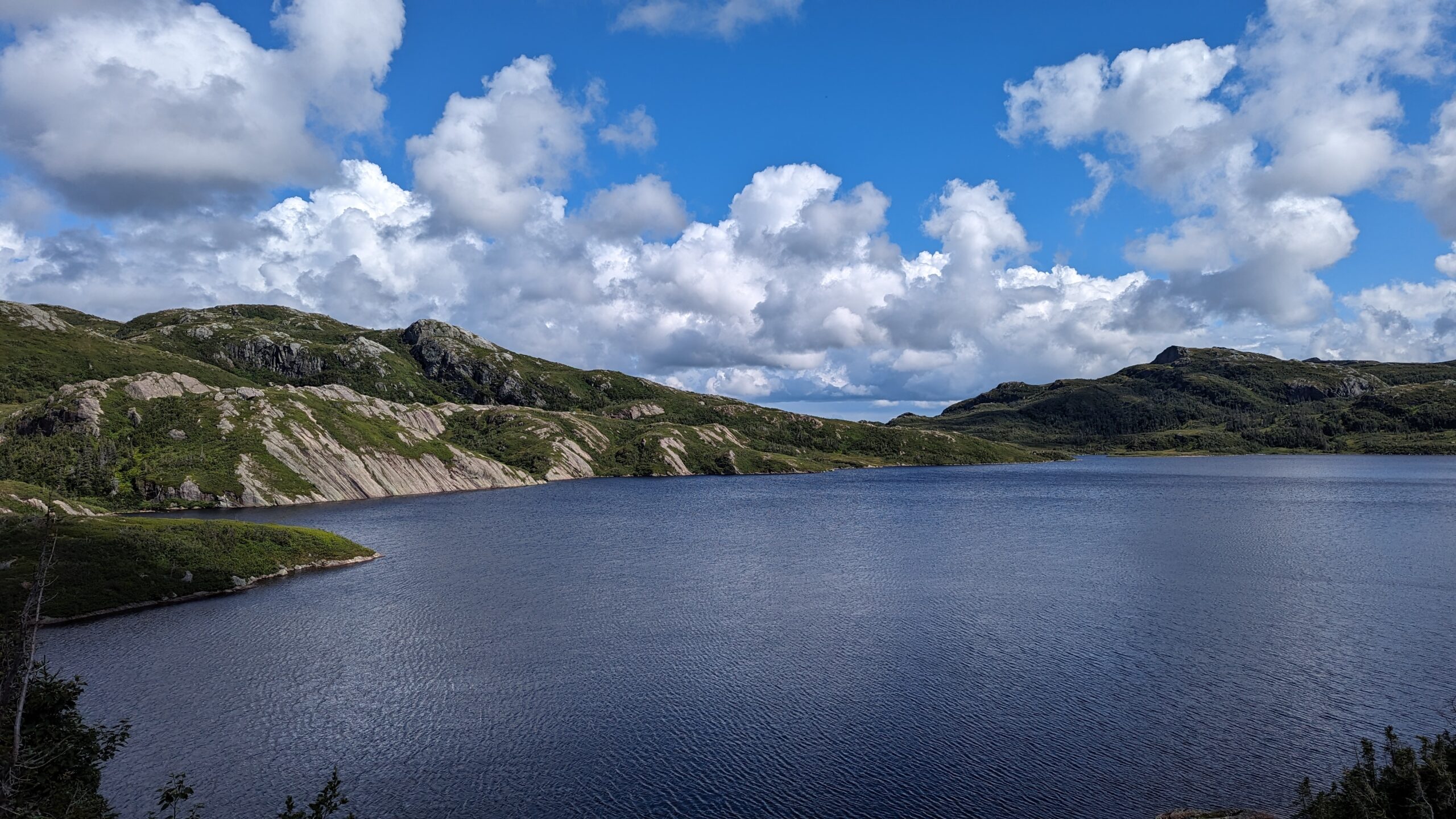
And it was easier. The path was clearer, the swamps were less common. The tuckamore became infrequent to the point where when it did appear, it was a refreshing interlude. The campsites were more frequent. We cruised through the first one (Little Island Pond) with a 30 minute break to snack and sit on a dry tent platform, and pushed on to the second one: Mark’s Pond. Somewhere in this stretch we had a short muddy descent. My wife jammed her trekking pole in too deep and bent it in half. I gave up one of mine to her and used the bent one the rest of the way as I didn’t need steadying as often.
Coming into Mark’s was interesting because there was a wide flat swamp to navigate and tracks of those before us went everywhere. It was unclear what the “official” route was. Because most of the day had not needed it, I had gotten out of the habit of referring to my GPS constantly. So we fumbled around a bit, until we finally found tracks into camping spots.
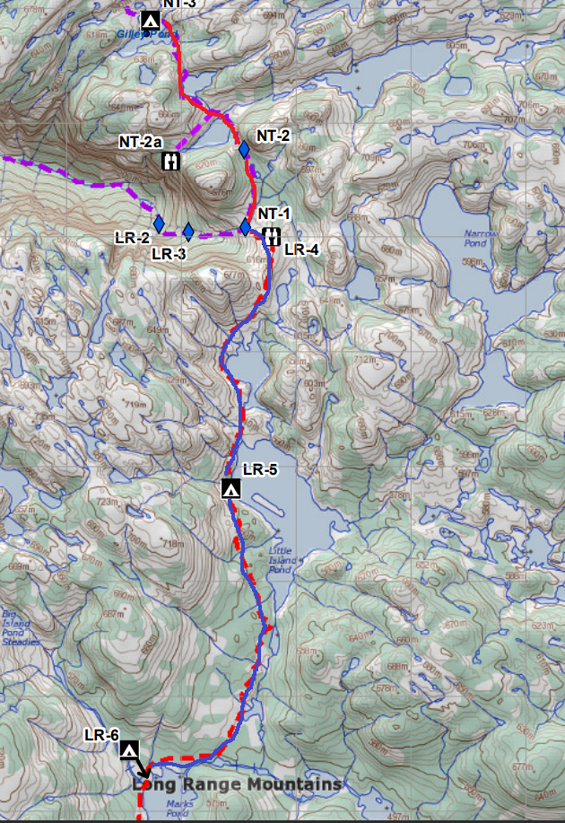
Mark’s has no wooden tent pads. But dry tent sites are plentiful. We found one by the lakeshore with a convenient log to sit on and hang socks off to dry. It was a bit of a walk to find the bear locker and the toilet, but we managed. Another couple, a retired couple who were vanlifing, camped next to us. We really enjoyed their company. They told us a group of young men were behind them, so we would probably see them sooner or later. We settled in for the night, resting much easier.
Total Distance: 16km. That’s how much easier the LRT is compared to the NT.
Total Ascent/Descent: probably around 300m.