It has been a month now since I returned from my planned hike through section C, if you have been watching this space for updates. The hike was awesome and only gets more awesome in the rear-view mirror. I think I needed a month to digest the experience before writing this post.
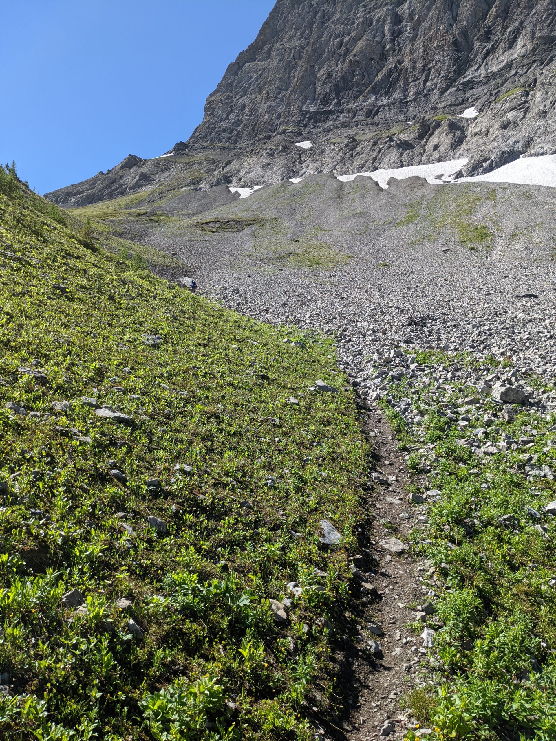
Cheryl absolutely killing it on the scree coming down South Kananaskis Pass
First, I am thrilled I got to experience this with my wife, and astonished that this was her first overnight hike since I dragged her up Mount Golden Ears while we were dating. Yes, it took her 23 years to forgive me for that travesty. All I can say in justification was, I was a stupid 22 year old. I hope I am a better man today than I was then. Thankfully this trip went so much better than that one. It was a challenge for her to complete – thankfully, the preparation I had done meant that had anything gone wrong I would have had tons of reserve to get us out of the situation. But nothing did, and though there were occasional tears, they were only tears of fighting through her own limitations, not frustration with me.
We set a fairly easy pace, which turned out to still be faster than many we met in the backcountry. I also adjusted the itinerary on the fly, both to ensure we didn’t burn out, and to deal with terrain challenges I could not have foreseen in the planning stage. I think I will post this trip report in two-day pairs, to break down everything for posterity, in case others who want to tackle this section want more detail. Certainly, we scoured the internet before we left so we could prepare. Hope this helps.
Wow! It’s hard to believe the trip is coming up in just a few days now. A lot has changed since I wrote this in May. For one thing, my hiking partner cancelled on me, and I put the call out to the world to find a replacement. I got my wish, but then my new partner came out early to hike Section B, but the westerlies across the mountains pushed a truckload of smoke from the BC wildfires onto her, and she tapped out.
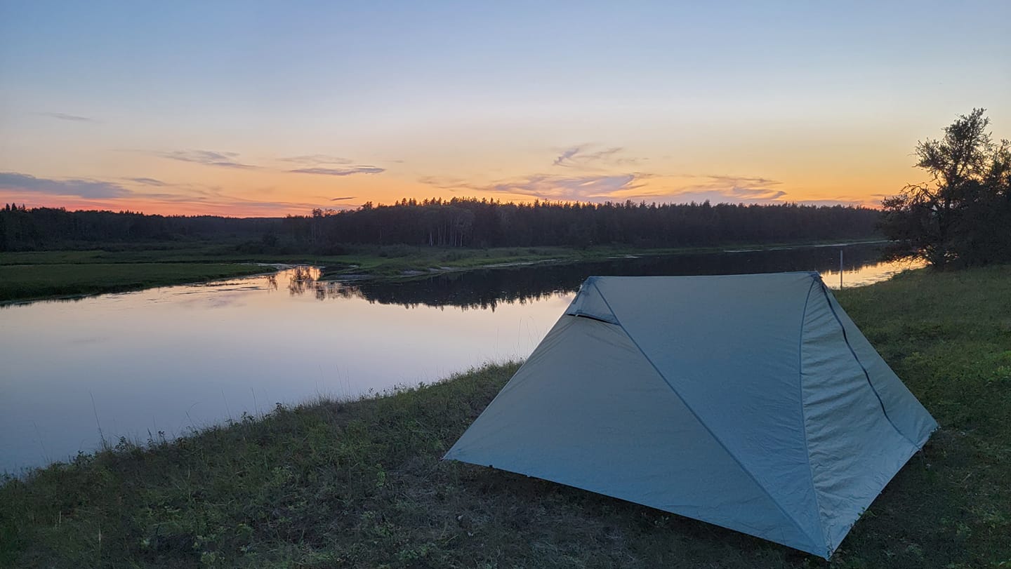
Our campsite on the Waterhen RiverCrossing Mistohay Creek
But even more surprisingly, my wife expressed interest in coming! So I have spent the last month working with her to get her used to carrying weight and walking on trails, culminating in a 24 hour shakedown hike in Meadow Lake Provincial Park. We hiked into a campsite on Friday night 10km, then hiked out 30km on Saturday through 32 degree heat! She delivered like a trooper, so we are go, for sure.
Aside from physically preparing her, we have had to kit her out with good backpacking gear. I didn’t want her to experience the Cheryl Strayed pack from Reese Witherspoon’s “Wild” pack, and have her tap out from exhaustion. I lined her up with the Durstongear 40l pack like mine, only slightly smaller. I’m now carrying a 2p instead of 1p X-Mid, in my effort to save her some weight, as well as the stove, a Jetboil Stash. She is packing a litle heavier nonetheless, as she is managing chronic cold fingers. It wasn’t a problem on our Meadow Lake go – the temperature topped out at 32 degrees! But we all know the Canadian Rockies at elevation are much cooler.
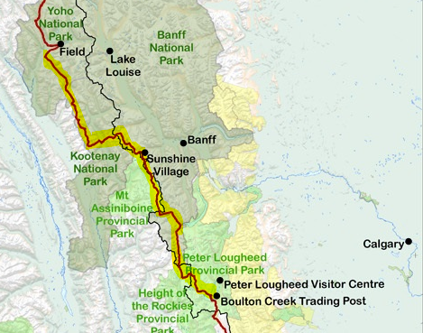
The route: Kananaskis Lakes to Field!
I decided to stick to a longer itinerary for her sake, so the first three days are all under 16km. Hopefully that sets us up for success and lightens our pack before climbing Wonder Pass and crossing to Porcupine campground for 24km in one day!
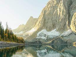
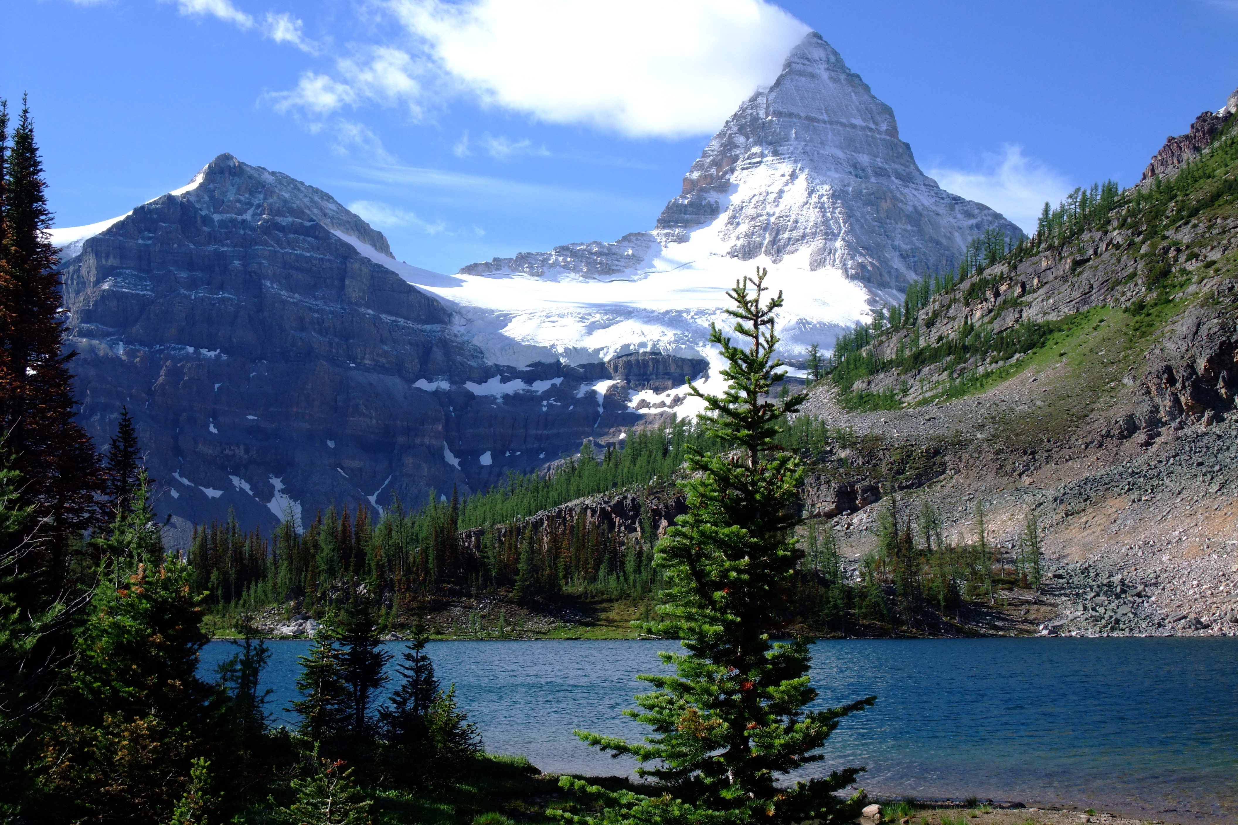
Then, a short 15km out to Sunshine where if all goes as planned a wonderful trail angel will be waiting for us with our resupplies and a lift into Banff townsite. We will enjoy a town dinner and a warm bed, before an early taxi back up to Sunshine and the longest hike of the trip, 28km to Ball Pass. From there, the days get shorter as we descend and then work across the famous “Rockwall” hike of Kootenay and Yoho National Park. This is her motivation now – she saw this picture of Floe Lake and wants to see it for herself.
Floe Lake in all its majesty (not my image)
The fires burning in BC may still play a factor for us. Right now the winds have shifted from the north, so they aren’t a problem but if they return to the west it may get smoky. Additionally, the hot weather streak appears to have finally been broken, but now the forecast for the high elevations are hovering in the low double digits, and intermittent showers are forecasted for the first 3-4 days of the trip. That may well challenge her ability to stay warm on trail. So we are not without opposition. But excitement remains. Stay tuned for our post-trip report!
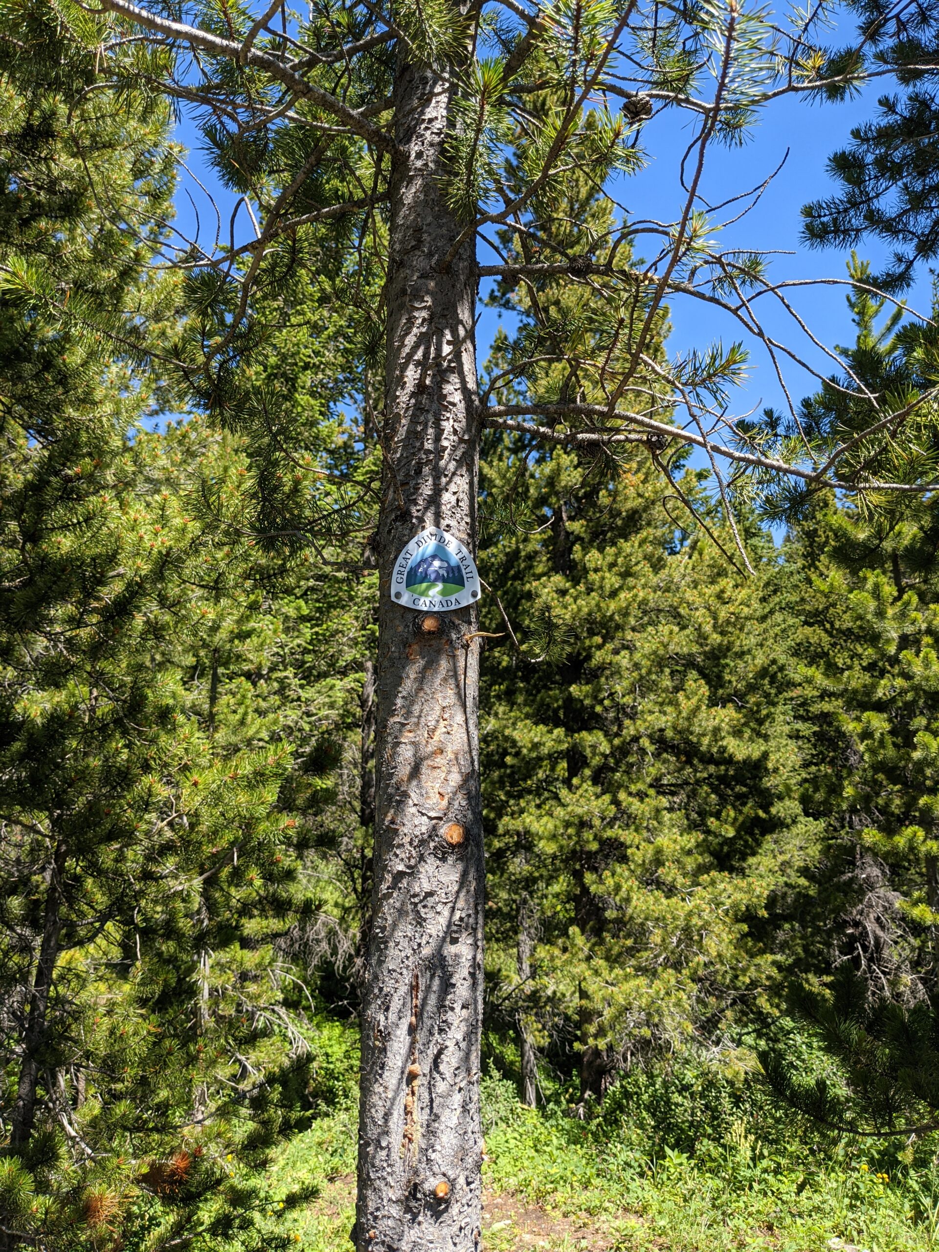
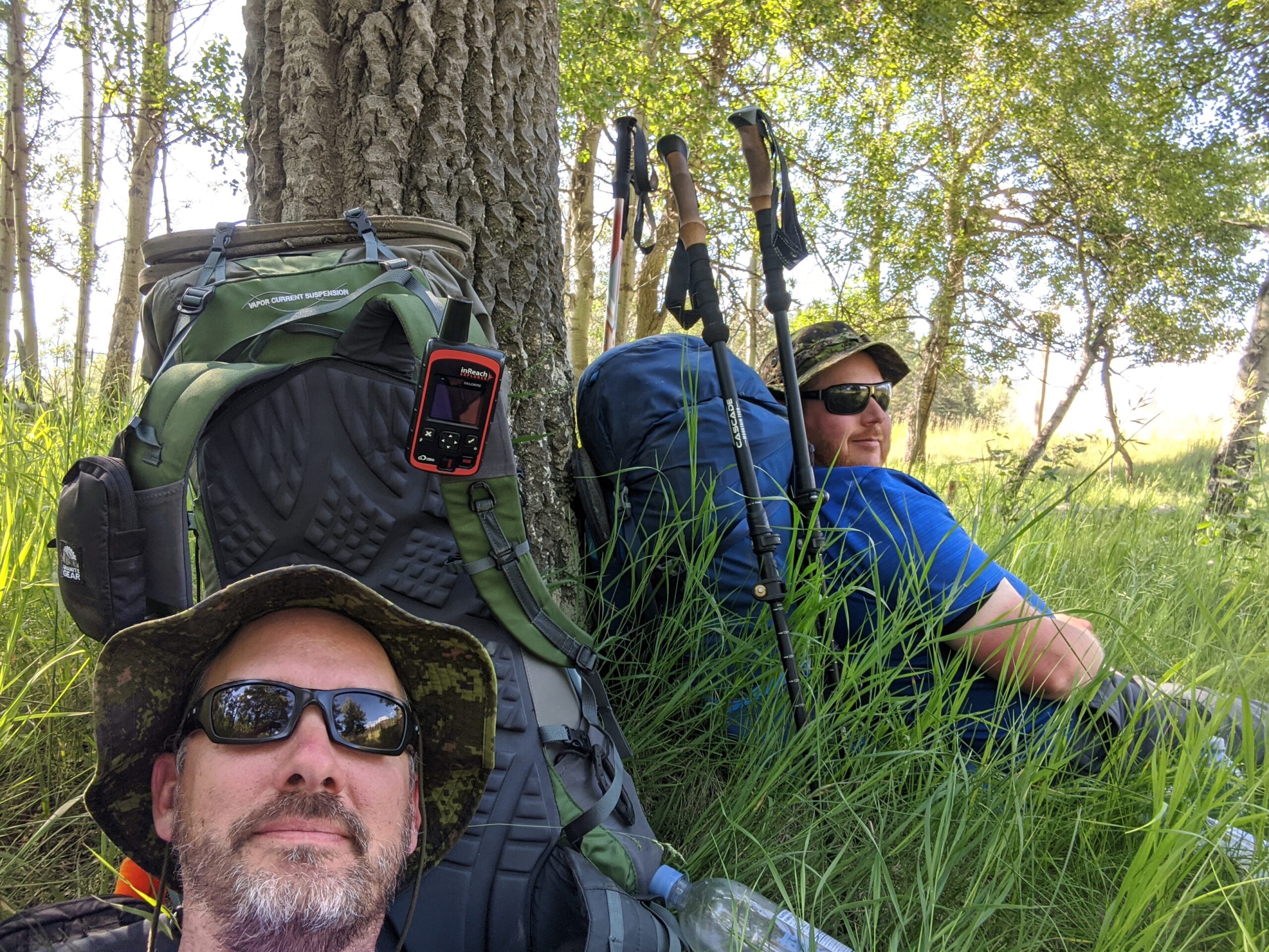
Where to begin? I have been dreaming about section hiking the Great Divide Trail for 4 years now. For various reasons my efforts had been, well, fruitless. But last summer, it all came together. A good friend of mine joined me for the hike, and we aimed at Section B, because it would not require any reservations to hike. 200km of wilderness, and a week before we set out the GDT Association released the GPX track for the new High Rock Trail section from Coleman to Dutch Creek! We would be some of the first hikers on this new footpath, which bypasses on the east slopes the road walk and the complicated skirting of an active coalmine.
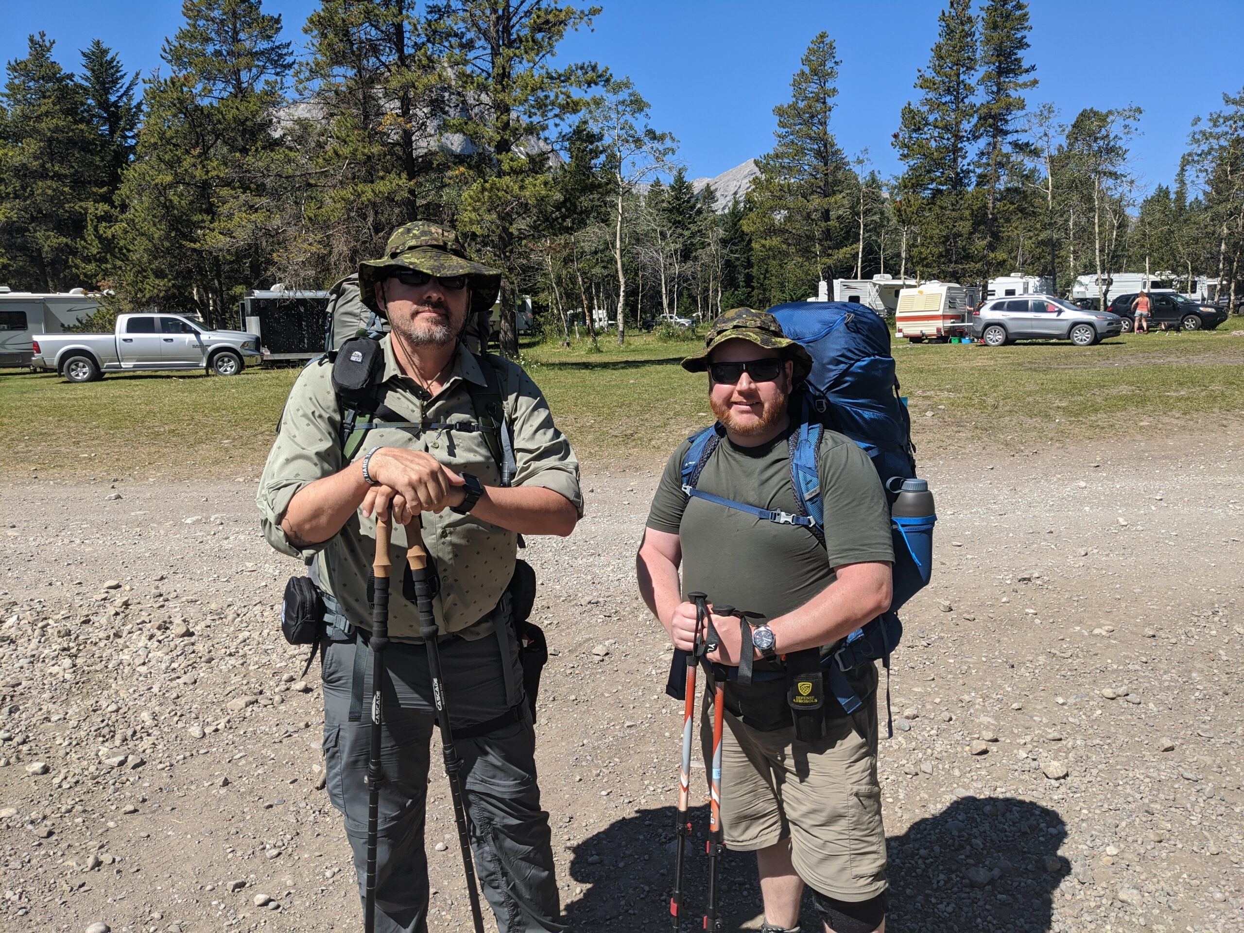
I’m the tall guy…
My cousin from Calgary graciously delivered us from Kananaskis to Coleman, after dropping off our car near Boulton Creek. Because we weren’t thru-hiking, I saw no need to be fastidious about the start point, so we had him drop us off at the Atlas ATV staging area, and we headed up the path to Deadman’s Pass, admiring the ridiculous vies of the Seven Sisters and Crowsnest Mountain.
It was a little tricky getting going – the area around Atlas is littered with ATV trails and I wasn’t sure exactly where to go to find the new junction, but some bushwhacking and a small stream crossing later, we got on the track. A nice easy climb took us up to a long meadow that we enjoyed for quite a ways. Our goal, starting fairly late, was going to be Window Mountain, a campsite that has been well established for years, though typically accessed differently than we were going to. Of course, Window Mountain is extraordinary and the hanging valley that was the camp truly set us up for the experience we were in for.
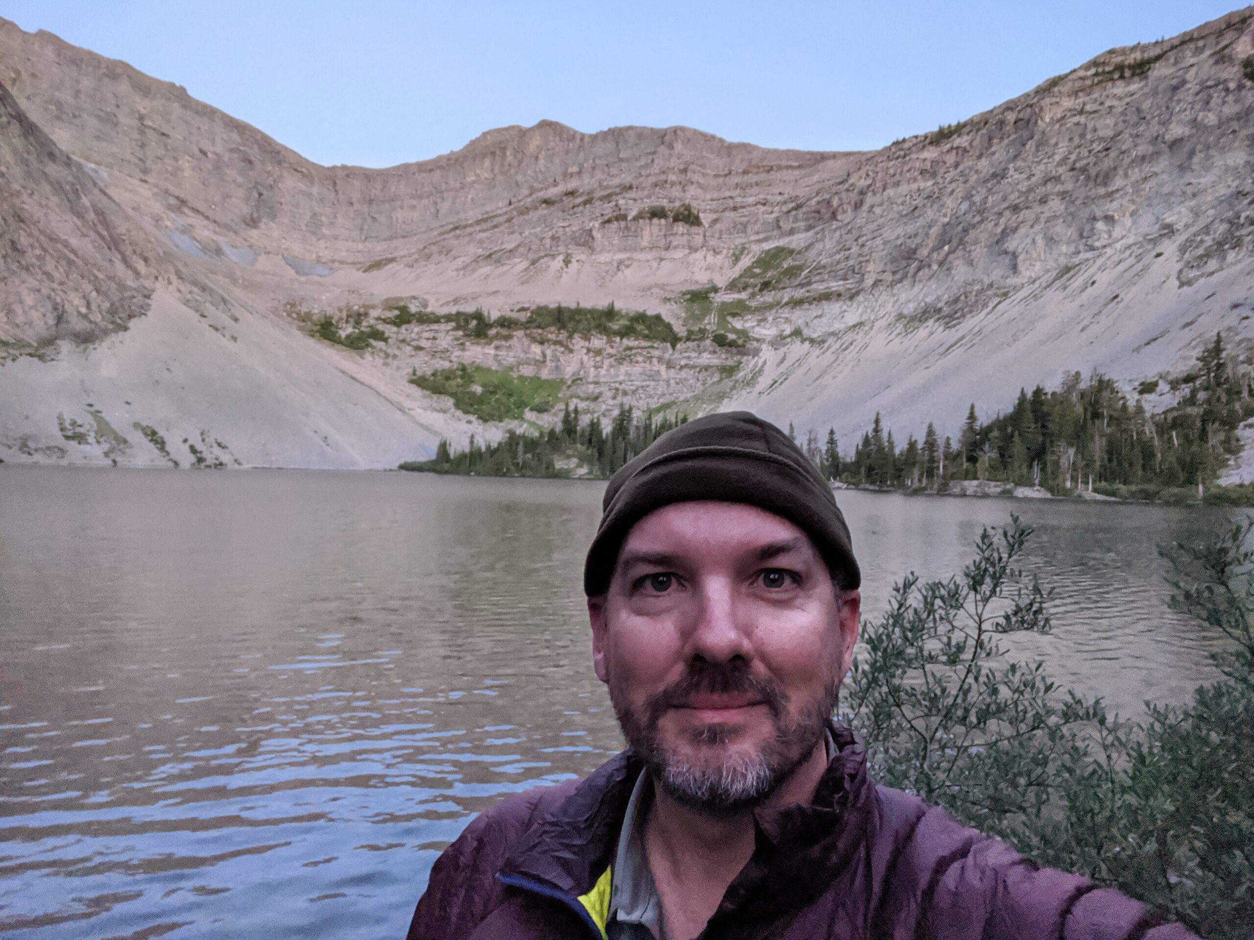
After a good night’s sleep at Window Mountain
First attempt to hang my Ursack went well – no animals bothered it that we could tell. Bathing our feet in the lake was a great way to end the day and the sunrise in the bowl was stunning. Little did we realize that we would be challenged as soon as we left the camp with a steep push UP out of the bowl!
View looking back at the scree scamper
Day 2 was a mixed bag – we got to see a lot of the trailwork that has been laboured over the last few years, and it was appreciated! Lots of ups and downs, including one very memorable push that seemed to go on forever after lunch. Every time we thought we had crested it, another hill rose in front of it – and no switchbacks! We were puffing. Once finally crested, we were treated to a challenging little descent through some scree – probably the closest I came to twisting an ankle the whole time. There was a stretch in here that we got low on water, but just when we were within spitting distance of a creek, a couple old men on quads turned up and gave us a couple of chilled bottles of water! Trail magic!
Finally made it to Racehorse Creek where we found an old fire ring and some lush green grass to pitch tents on. The creek felt terrific once again on tired toes. We woke up to frost on our tents – that was a reminder that we were well over 2000m and as hot as the days were, the air was thin and cold at night.
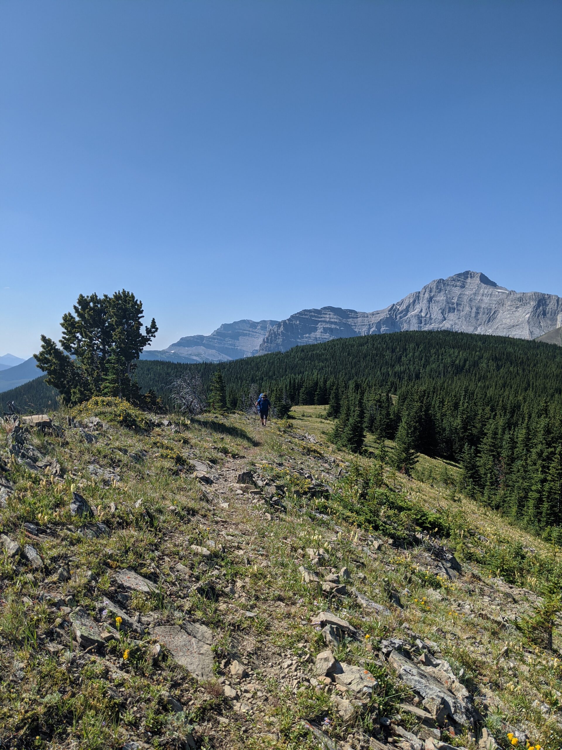
A bit of meadow – had to hunt in places for the trail
Day 3 took us to the end of the High Rock Trail, where we crossed a brand new bridge over Dutch Creek and joined the GDT proper again as it came over the pass from BC. It was an old logging road north from there, until we reached a rockfield created by what must have been a staggeringly big slide off the range to our west, some time ago. It reminded me of the Frank Slide in the Crowsnest Pass, only there was no town to wipe out here, only wilderness. Once passing the slide, we found the Dutch Creek Camp, nestled in the trees above a grassy, wet field of streams connecting with the main creek. A lippy ground squirrel was frustrated by our tents on his land, but he calmed down as night fell.
Well earned rest! But very much a “tornado”!
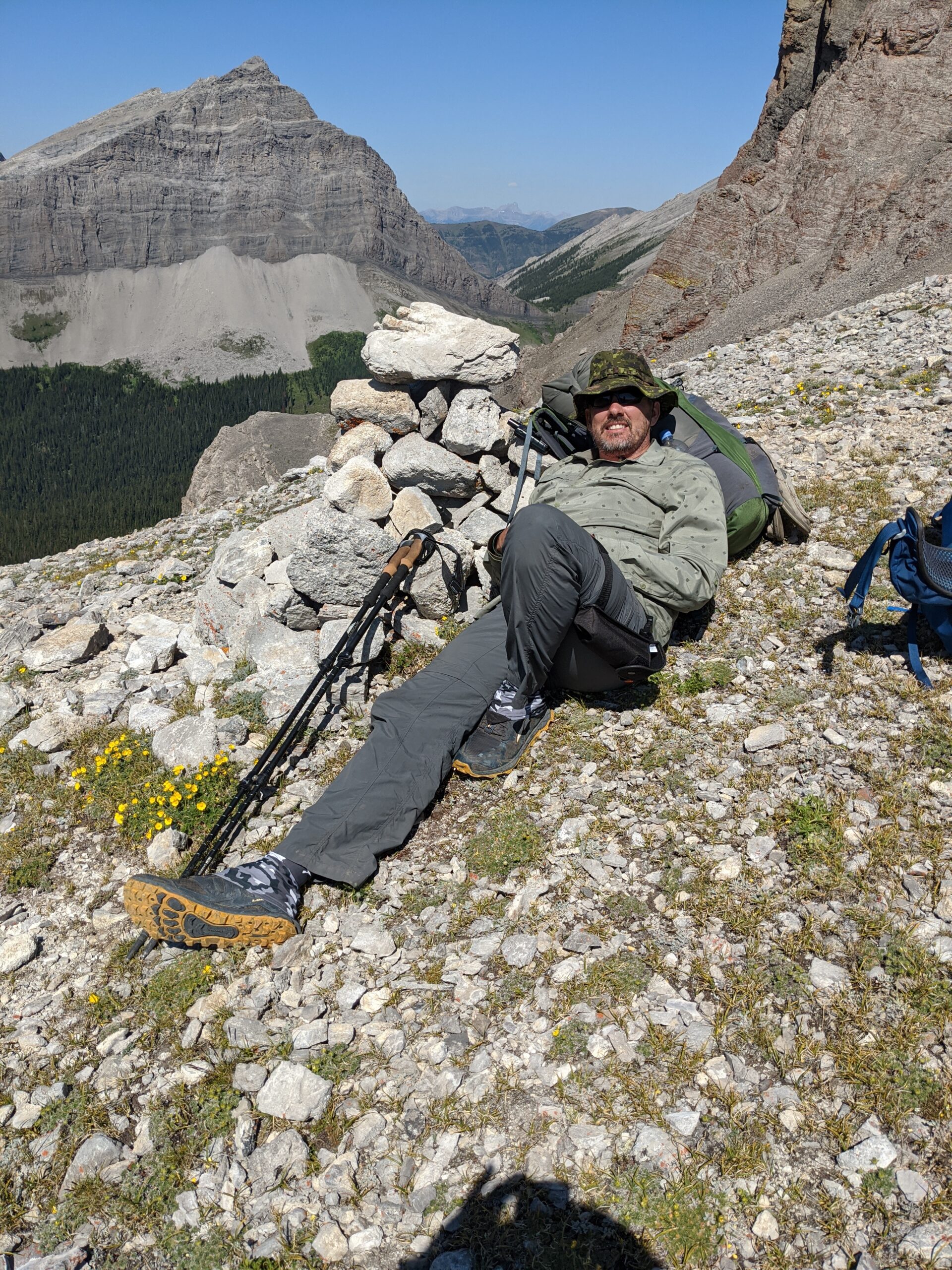
Day 4 was intimidating. We were heading for Tornado Pass, and then worse: Tornado Saddle! We got up bright and early for the push through what I understand to be the most extreme go on the GDT. No frost, but dew was on the grass, and my Lone Peaks soaked through and left me with wet feet for the climb up the saddle. It was BRUTAL. But I beat my hiking partner to the top and hid behind a cairn from the wind for about a half hour while he laboured up. The climb down was easier with many switchbacks – so many we had to pick our way carefully or hit dead ends regularly. But once we were down, the question was after such a push, how far could we go? We had our sights set on Hidden Creek, but did not make it that far. I failed to change my socks after the dewy morning, and the bottoms of my feet hurt – but worse, they were stinging! Like a hundred little needles with each step. We ended up camping at the horse camp at South Hidden Creek. Which we can’t complain about – the flat ground, the cobbled together chair, the table for situating our stoves were all appreciated!
Unfortunately, my strange footpain that led to us shortening this day forced us to reckon with our pace. We weren’t doing longer days – we were doing shorter. I had planned the route around 8 days max, and we were behind. My friend had a flight to catch on a certain day, and at our current pace we were going to be late. At first I was saying we should consider bailing out if my feet worsened but on the morning of day 5, they felt 80% better. It is amazing what happens when you let your feet dry out! So, physically we could have kept going but he would have missed his flight. So we made the decision to bail early. Fortunately, Hidden Creek was the perfect opportunity. On the south edge of the Beehive Natural Area, we could follow an “access trail” out to the Oldman, and from there hitch a ride with a camper in the popular crown land camping area.
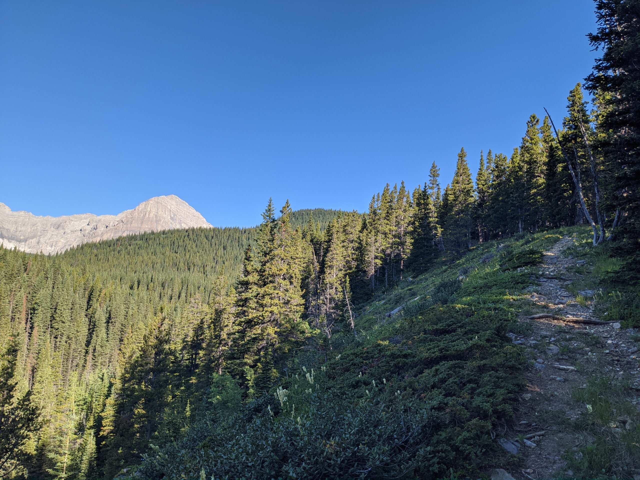
Good trail between South Hidden and Hidden
So, day 5 we headed up and out. The trail was fantastic, and we did well, pulling into Hidden before noon. We were lucky enough to meet a “famous” GDT hiker, none other than “T”, the Yo-Yoer and wife of the guy who designed my tent! I picked her brain for a few minutes while we all caught our breath at the creek. Should have gotten her to help me with my pitch – I know I’m doing something wrong! But we said goodbye and she carried on south while we looked for our exit trail. Never did find it, but I enjoyed sleuthing out a very ancient horse trail along the north bank of Hidden Creek which finally took us to the Oldman above the falls.
Waiting for more trail magic…
Then the next problem confronted us. How were we going to get to K-Country? I used my Inreach to message my wife, who jumped onto the GDT Trail Angels Facebook Group and put a call out. Turns out there was an amazing former thru-hiker who was running some trail magic out of Boulton Creek, who had the time to scoot down and pick us up! We waited for a while, then decided to hike north along the road to meet her, as she came a little later than expected.
So, the trip ended with only 100 of the 200km goal hiked, but it was a fantastic experience with sun and warmth the whole time! We learned a ton about long distance hiking, and saw some gorgeous sights. I showed my friend around Banff for a couple of days then he grabbed his flight home. Now, this year, Section C!
I started this blog in 2019 in anticipation of hiking the first half of Section C of the Great Divide Trail. That didn’t happen. Instead, life happened, and I had a truly transformative summer working with indigenous young people, and changing careers, then relocating my family about 600km. So, can’t complain too much.
Then, last summer, I finally got on trail in the Rockies. I haven’t written a trip report for that hike yet, but expect it soon. Kind of surprised I never got around to it actually. A good buddy from work accompanied me on 100km of Section B – from the Crowsnest Pass, up the new High Rock Trail (literally opened the weekend before we hiked it) and ended at the southern boundary of the Beehive Natural Area. That was a HUGE learning experience – navigational challenges, trust in my kit was produced, learning how my body performs on long days of steep hiking, learning how my body reacts in terms of food, and even got to bushwhack for 2.5km as our exit trail either didn’t exist anymore or we missed where it went. More on that another time.
This year, the dream returned: seeing Mount Assiniboine. My wife okayed me planning something a little longer, and I found a workable itinerary to hike the entirety of Section C. So not only going to get to see Mount Assiniboine and that world class corner of Canada, but also get to enjoy the Rockwall Trail in Kootenay National Park, one of the top 5 most popular hiking destinations in Canada.
Living 6 hours’ drive from the Rockies, I am glad they are so close but they aren’t close enough to “practice” on. I love hiking in the Rockies, but the problem of preparation is real out on the flatlands.
Thankfully, locally it is moderately hilly. When I go out in my local provincial park trails, Total elevation over 6km was about 120m. Better than nothing.
I am currently super excited about doing Section C of the Great Divide Trail this summer – booking National Parks was a horrific experience but I got the campsites I needed and am super pumped to venture out in August. But I know I need to get ready for this 11 day adventure.
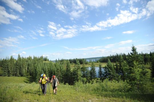
So, I looked around to find out where I could go for an early season long hike – and I found one! The Boreal Trail is Saskatchewan’s “Long Trail” at over 120km in length. It runs the length of Meadow Lake Provincial Park from the eastern shore of Cold Lake all the way out to the Park office just north of Dorintosh.
What I have discovered though, is unlike many long trails with more reknown, the resources for planning this hike are not the most user-friendly. So I thought I would take a bash at introducing you, the internet to how to plan a multi-day adventure on the Boreal Trail. Once I hike it in a few weeks, I’ll certainly have something to say about the experience, so stay tuned!
I would love to hike more but taking care of family still holds me back. Last summer I planned to hike Section A of the Great Divide Trail (Waterton Lakes National Park to the Crowsnest Pass), but my hiking partner had to back out last minute… so I visited Haida Gwaii instead. A decent tradeoff, but not a hike.
This year I am working on a plan that involves many other hikers, so hopefully even if a few back out I’ll have some people to go with. And the destination: Mount Assiniboine!