Somehow writing this post slipped my mind for 3 years. Despite its importance in a number of ways – for one, I visited a bunch of times, and another – it was a critical part of our preparation for Section C of the Great Divide Trail. We spent most of 3 years in Cold Lake, AB and this was the longest and most accessible trail for us to hike locally.
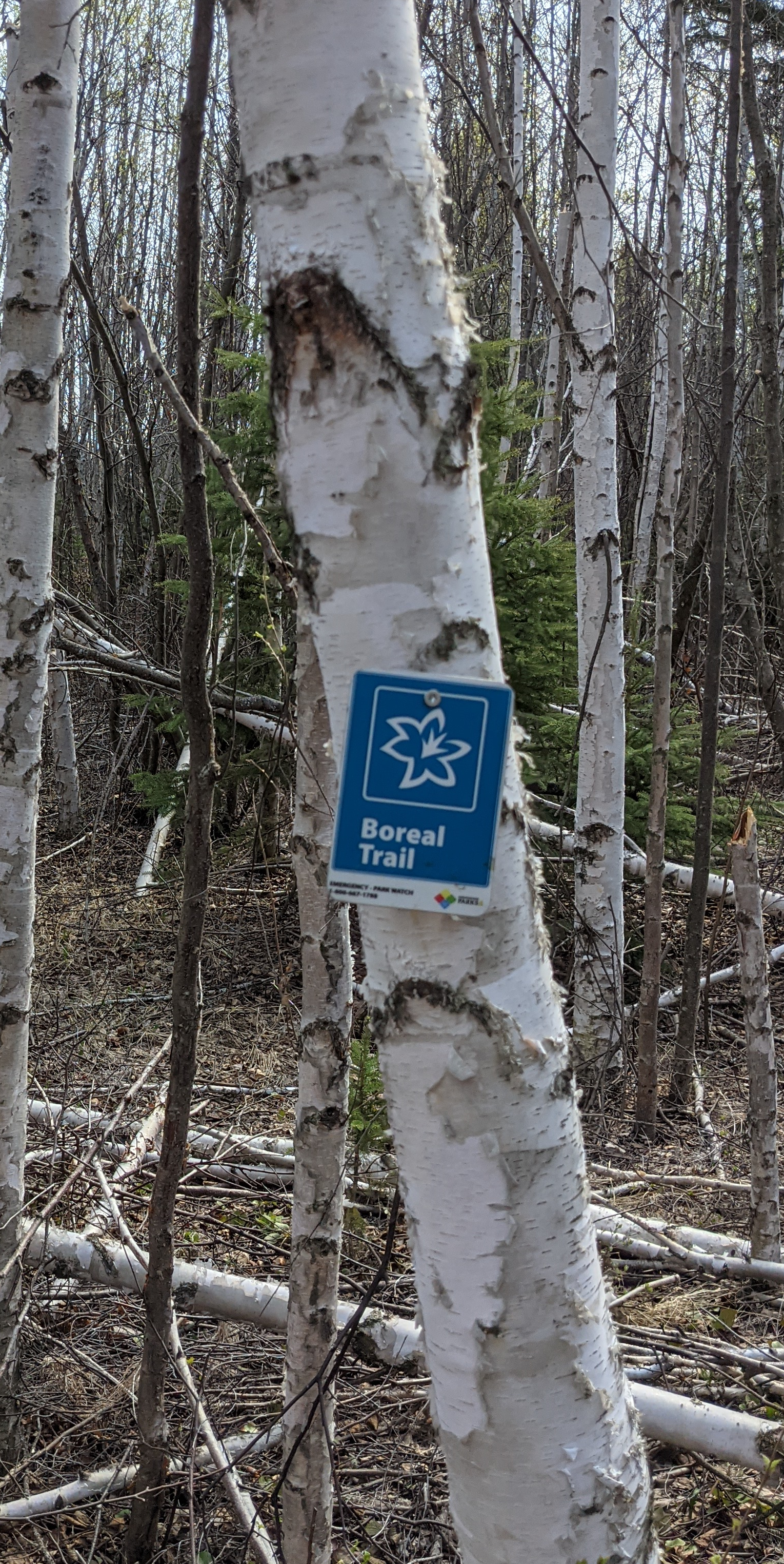
During our time up there I always meant to thru-hike the trail. At 128km, it’s a nice length for a 4-5 day trip, though the trail is advertised as a 7 day trip. However, despite my shoes stepping on 90% of the trail, I never did get to do the thru-hike.
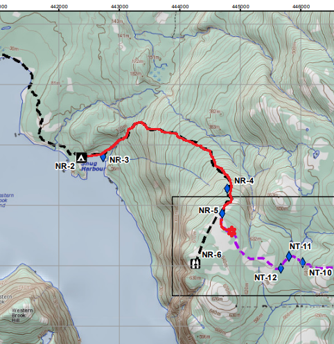
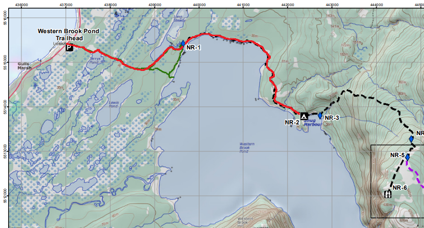
You can take a look at my previous post about how to book the Boreal Trail. However, since I wrote that post, they have released a better more current trail guide. It can be downloaded here. In my several trips out to it, I have learned that despite it feeling like it is administratively rigid, it is not. The park staff straight up told me that it’s fine to hike the trail, then retroactively pay for camp spots and such. This was as of 2022, so double check to see if they have tightened up the regulations.
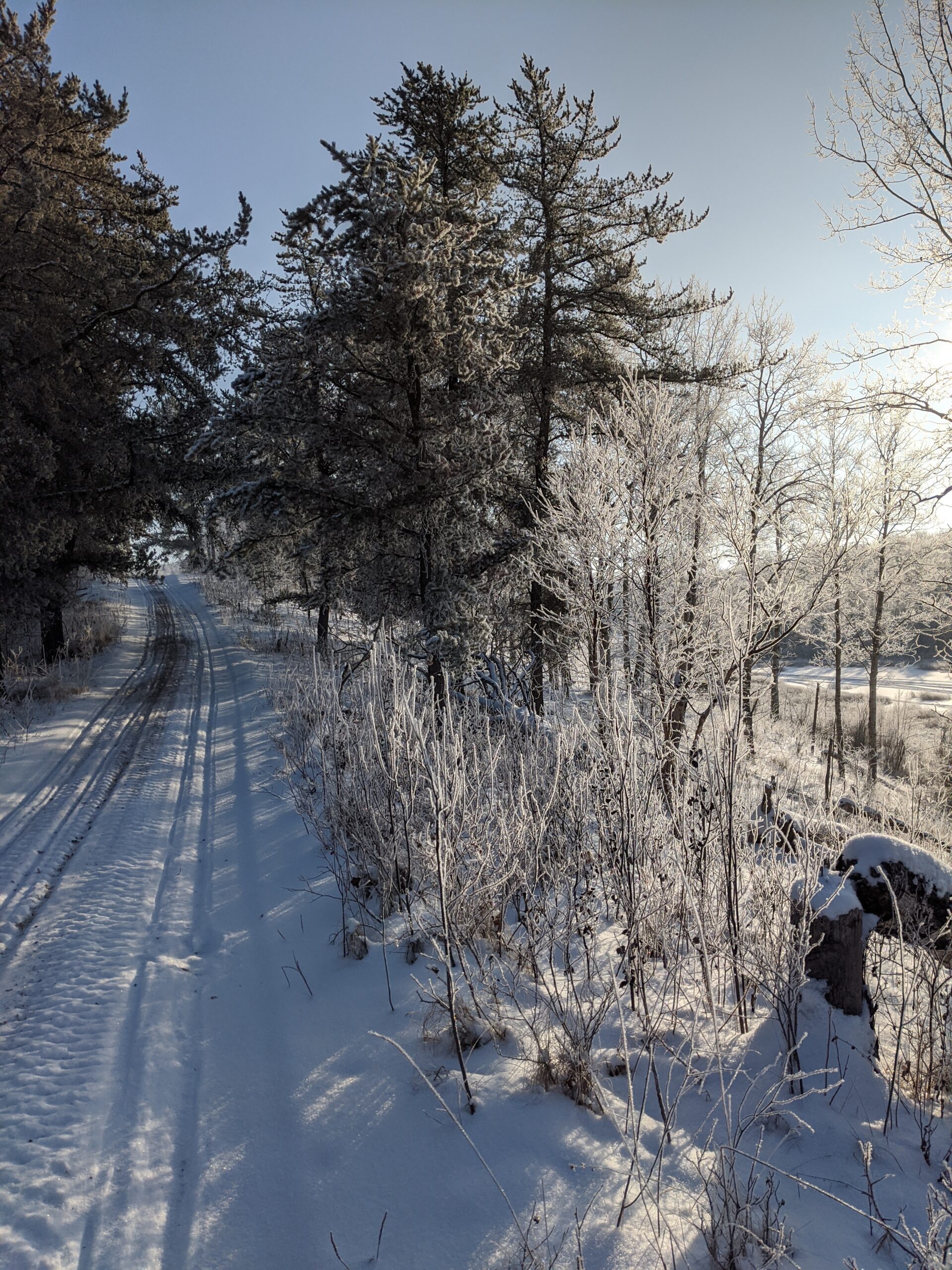
On to my trips on the trail: first was a dayhike in the winter with a friend of mine. We wanted to do some “rucking” training, so we drove out to the park one Saturday with about 30lbs on our backs to walk the first 20km. We parked one car at one end and one at the other of the section we planned to do – the Cold River camp (BT1) to Sandy Beach, a frontcountry campsite on the trail. While on that walk we passed by BT2, a pretty little backcountry camping spot on a spit of land that juts out into Pierce Lake. It has a bear locker, elevated barbeque cooking spots, and several flat areas to pitch tents. It also has an adjacent “Green throne” privy set back from the camp.
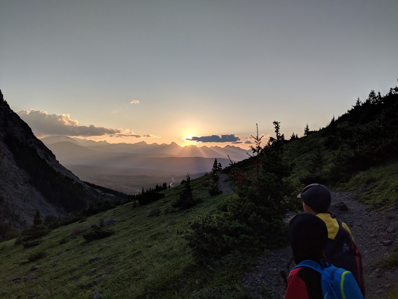
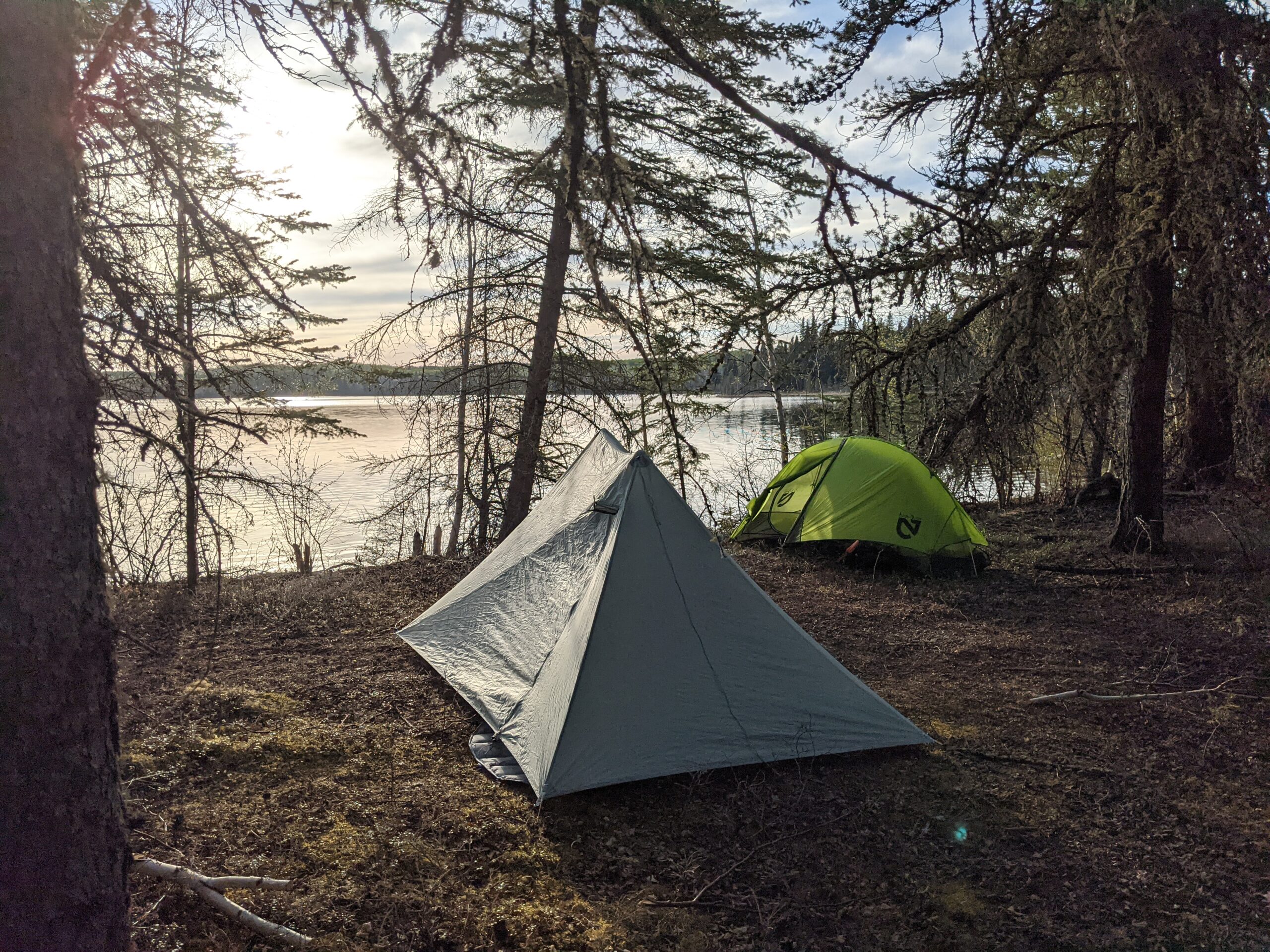
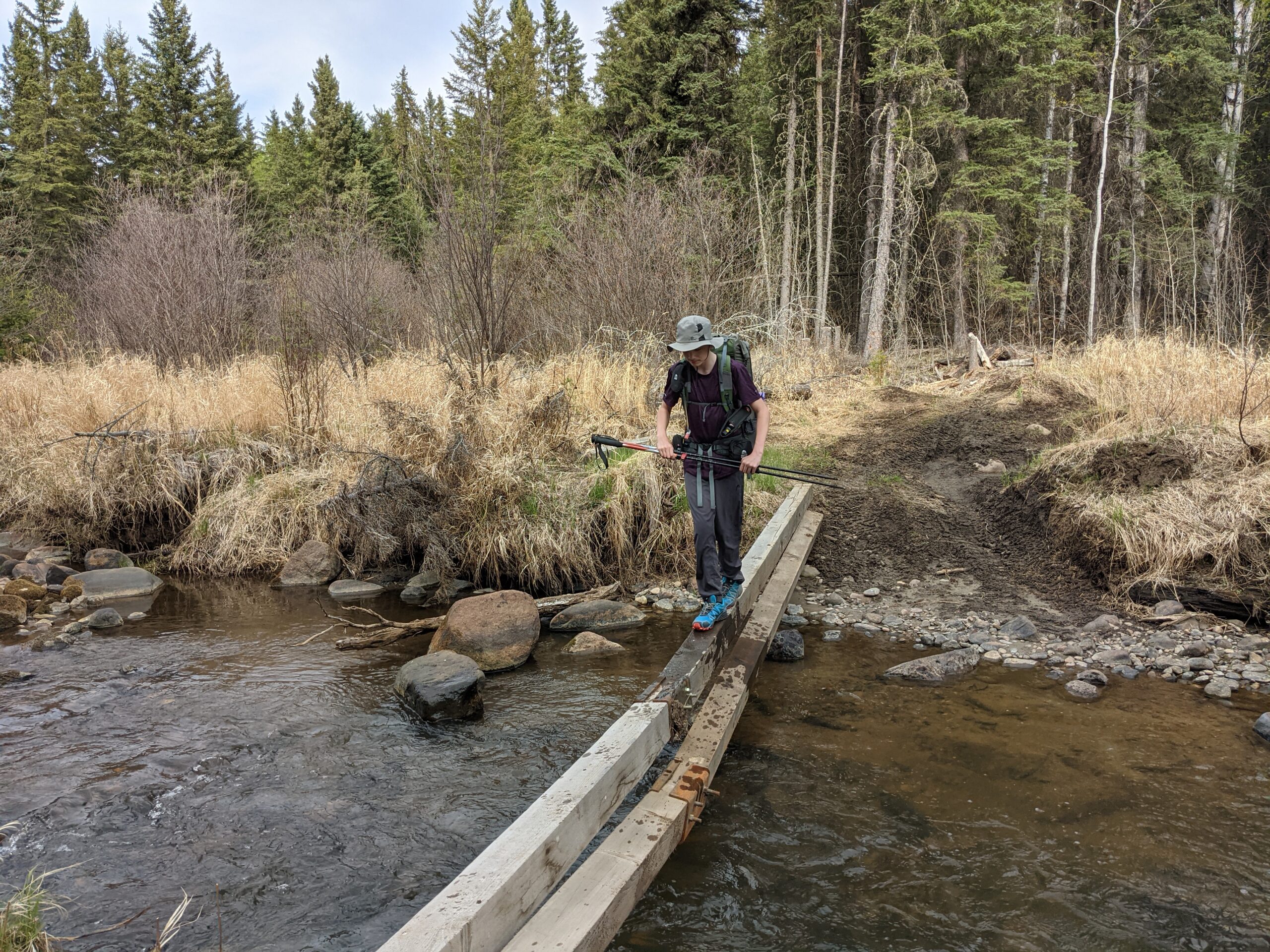
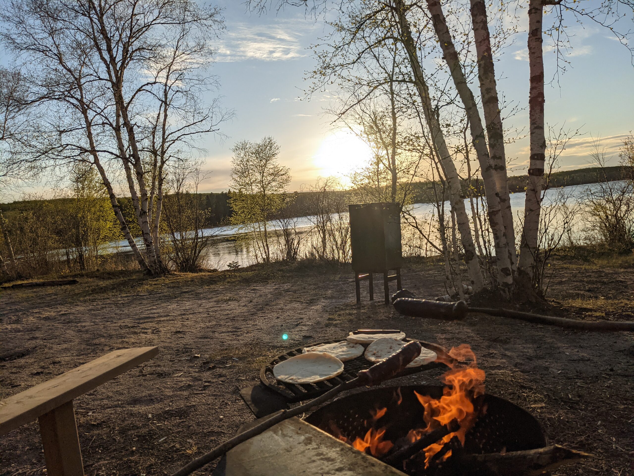
My second trip was a spring overnight with one of my sons. We the the same route as the one I did in the winter, and camped at BT2 before hiking out to Sandy Beach, and the sunset was well worth it. Some swarms of mayflies liked the spot we pitched our tent, but that really was our only complaint. The way to Sandy Beach was more complicated in the spring than in the winter, as there was some beaver dam problems that flooded certain spots on the trail, but there was a way around.
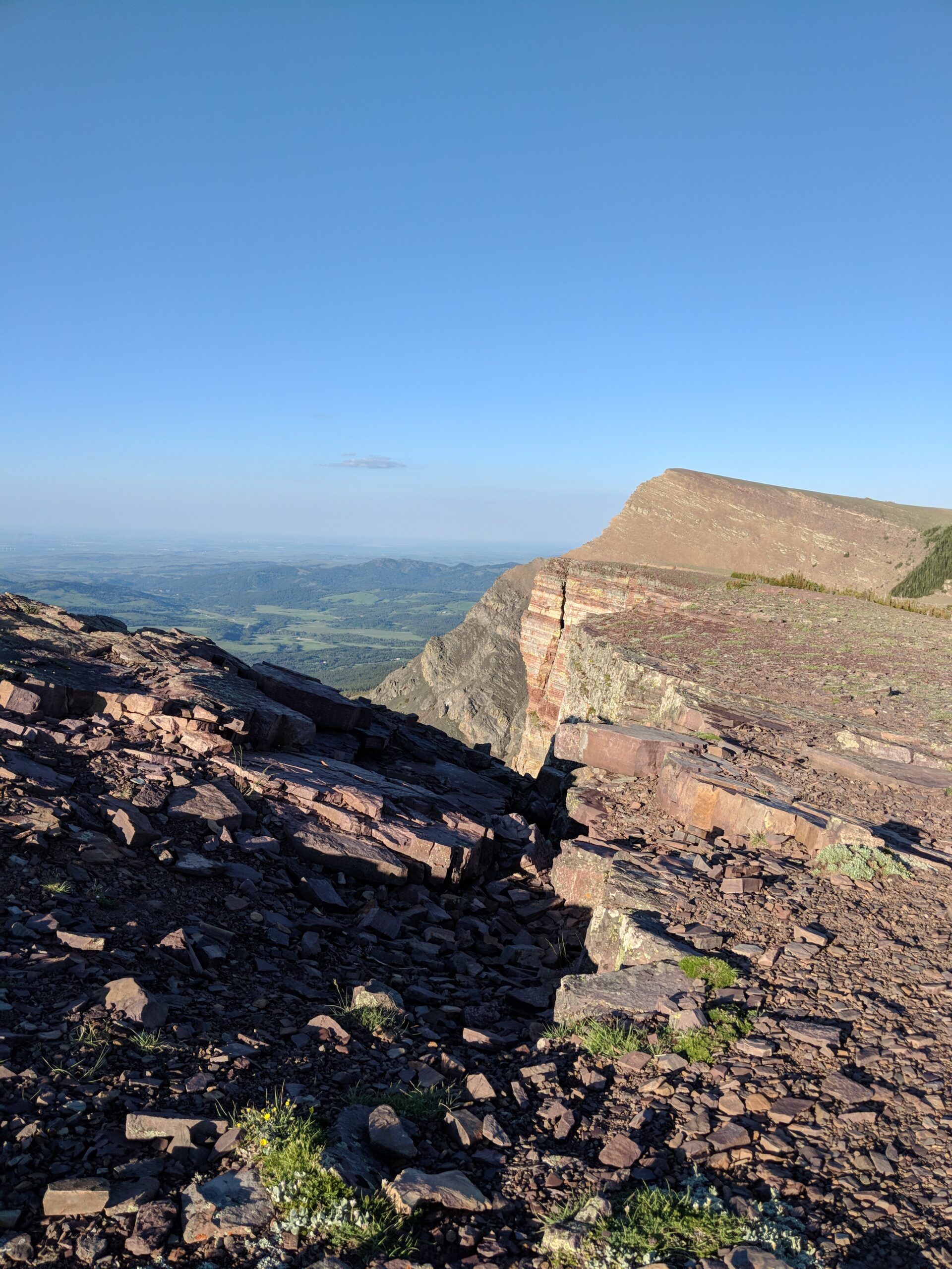
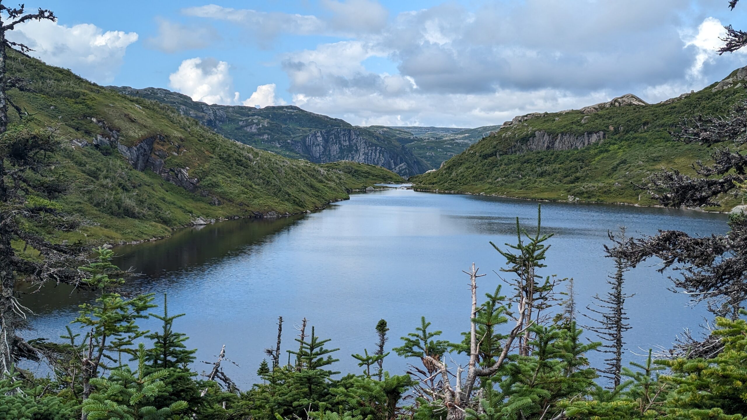
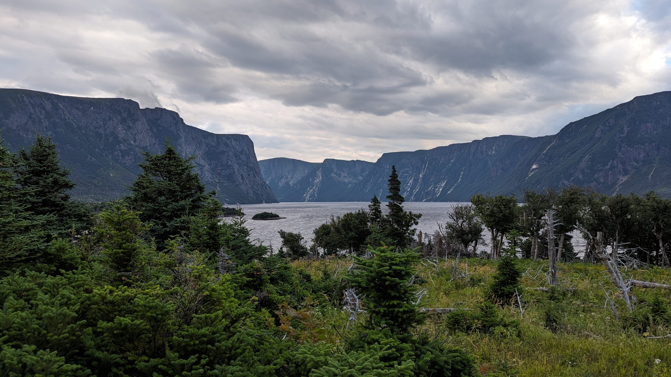
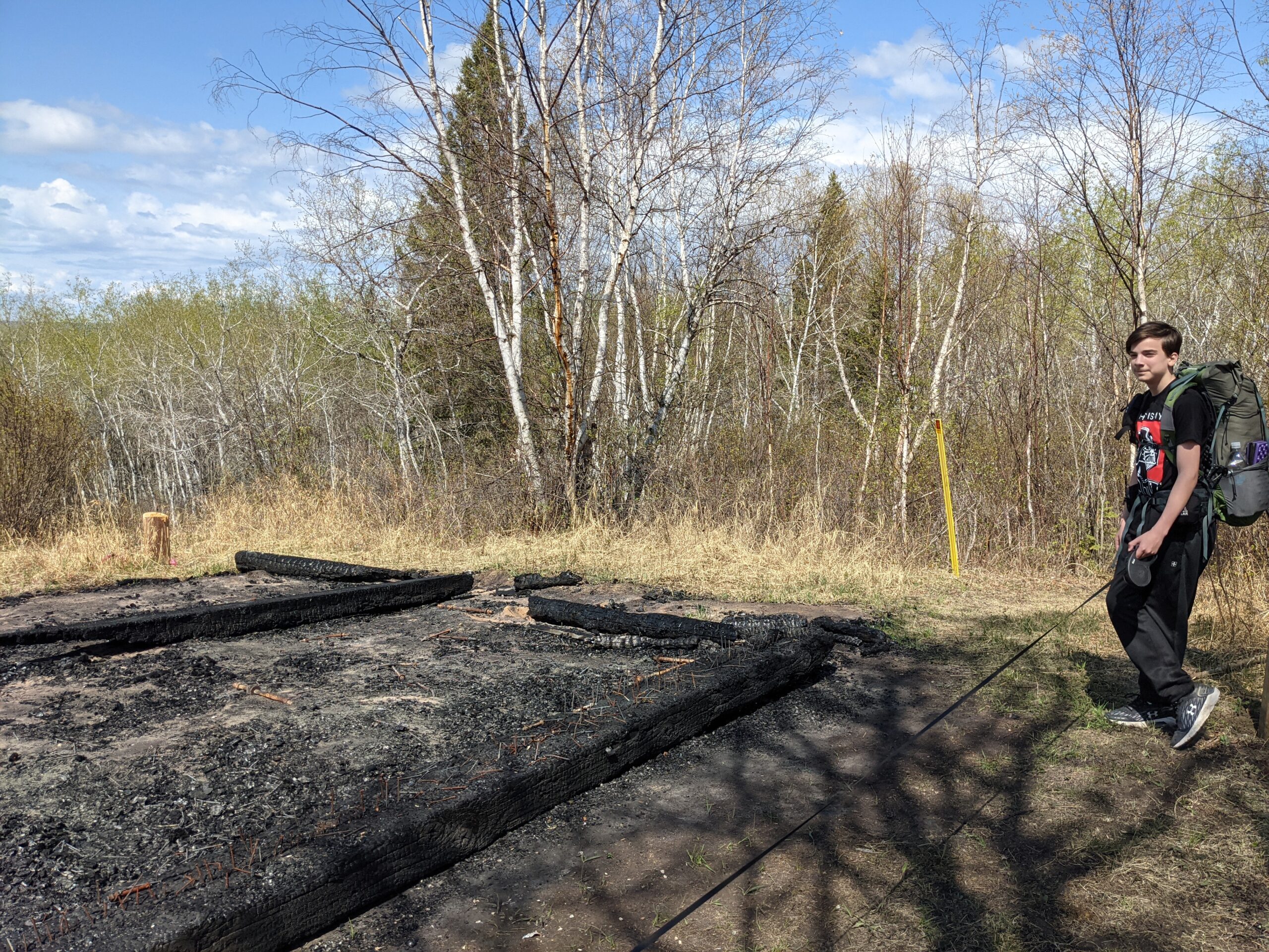
My third trip was with the same son, another daytrip hike. We parked a little past Sandy Beach at the trailhead for Humphrey Lake and Humphrey Tower – the former location of a fire tower turned viewpoint on a knoll above the surrounding terrain. We hiked up to the tower site, skirting around one shore of Humphrey Lake, a little pond not really accessible for water (it’s swampy around the edges) but nice for waterfowl. The climb up the hill was brisk, and at the top, we were saddened to see that the tower had been burned down by vandals. But it was cleared in one direction, so we did have some nice views to enjoy a break at. We continued on to the narrows between Pierce Lake and Lapine Lake, where we had lunch before turning back to the car. On the return trip we did the other shore of Humphrey Lake which makes a nice little circle for dayhikers.
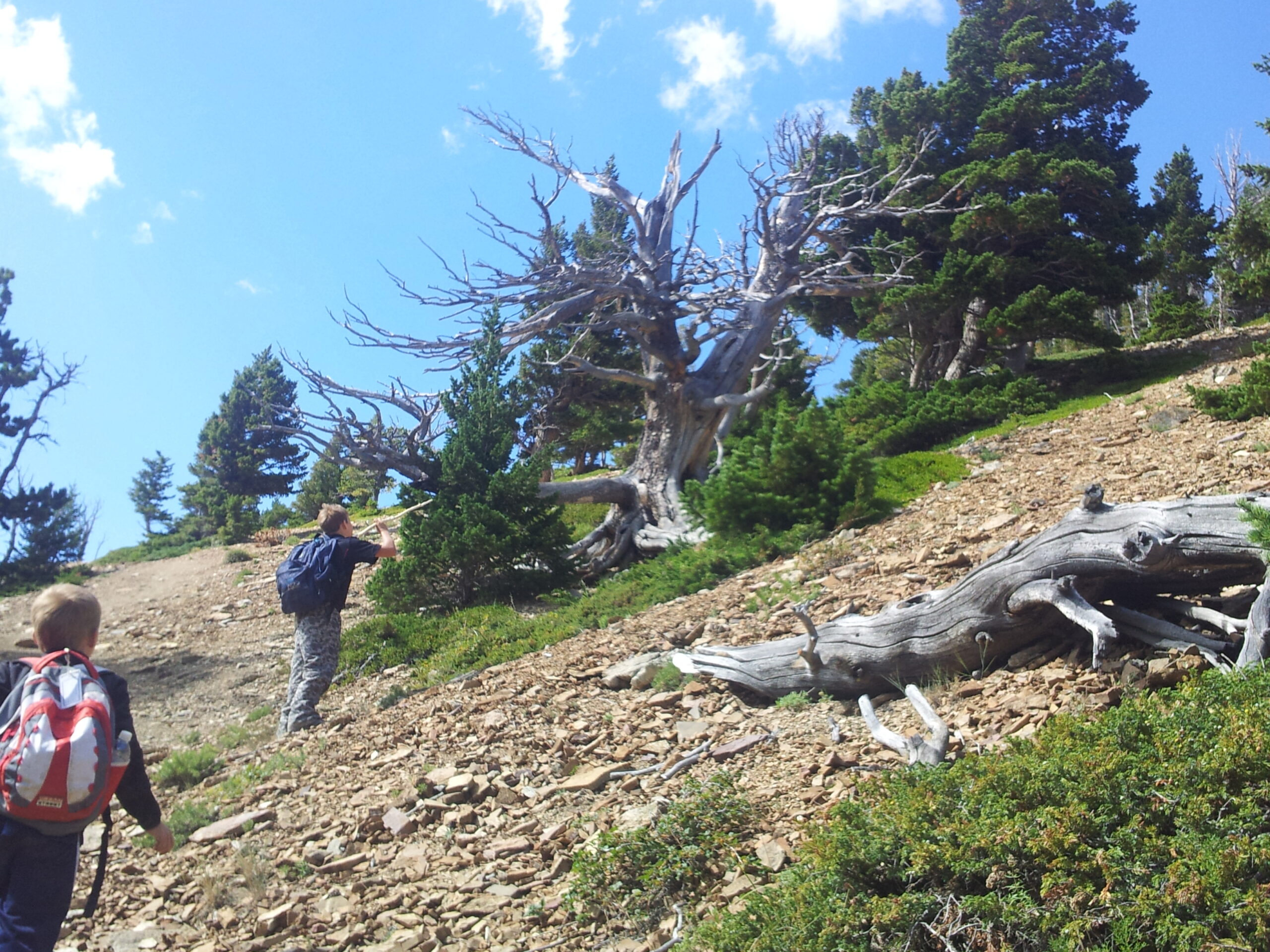
My fourth trip to the park was another overnight with that same son. He was a trooper that year! This time we had our sights set on a backcountry site set back from the rest – if you are thru-hiking you’d probably skip it as it’s up on a spur trail north of the main route. We parked the car at Grieg Lake near the east end of the park, and hiked up to BT9 on Fourth Mustus Lake. We chose this site because we brought my dog, Watson with us and he was a little unpredictable with people (he was an SPCA rescue) so we wanted to have a campsite with nobody around. The trail was sandy and mostly easygoing, and once again we were treated with a beautiful camping spot.
At that time (2021) there was no privy at that campground, and the picnic table was in bad repair but there was a working bear locker. But the tent sites were glorious and roomy, and we never saw another soul. We spent the evening after supper exploring some game trails on the north side of the lake, then tried to put the dog to bed. He didn’t go down easy, refusing to sleep in the vestibule. He ended up being off leash all night, and patrolled around us while we slept. Around midnight something got his attention because he bolted off barking at something, but he never left earshot and returned after being satisfied that whatever it was was not coming back. Glad there was nobody else there to be disturbed by him! Lesson learned.
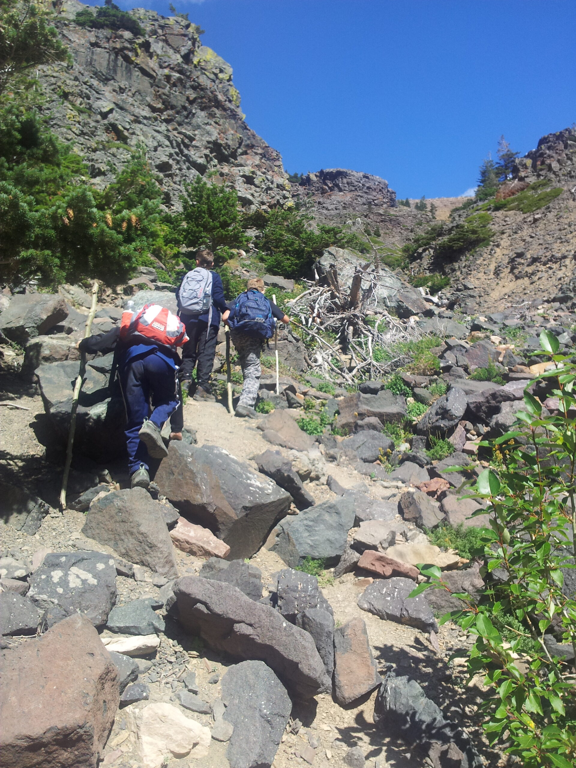
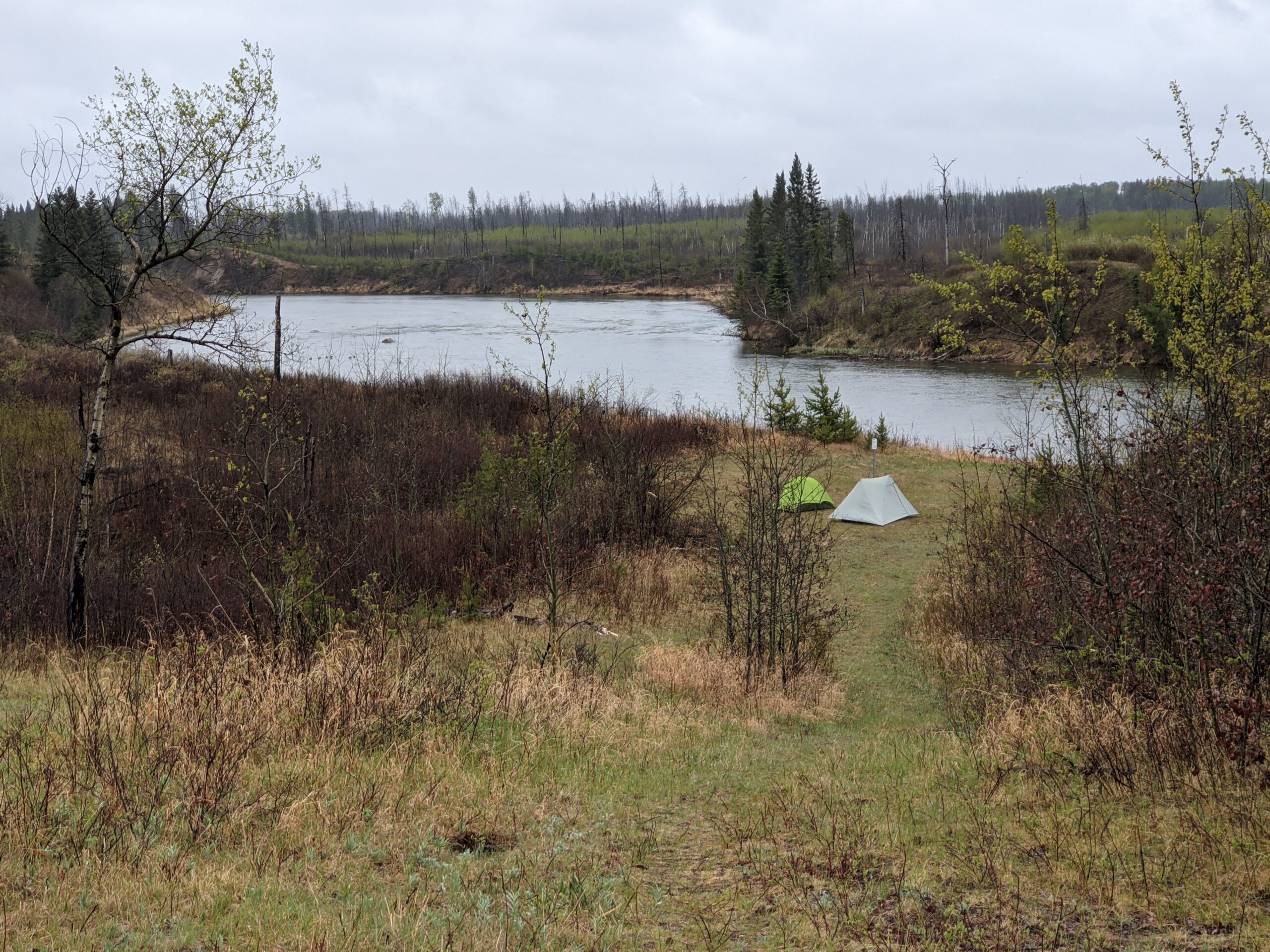
My fifth trip was again with that same son, and we were aiming to do the whole trail. We started at Cold River this time, and once again camped at BT2. The next day we pushed pretty hard, and made it to BT3 by midafternoon. We could have gone further but the clouds had socked us in and the wind was blowing, and rain was beginning to make us miserable, so we set up our tents and hoped that the rain would slacken for some soggy dinner. The camping was down a rise next to the river, and the dinner spot with a firepit was at the top of the rise by the trail – so was the bear locker. After warming up a bit we came out and had an early dinner, but the weather was still miserable so we just hunkered down early for the night.
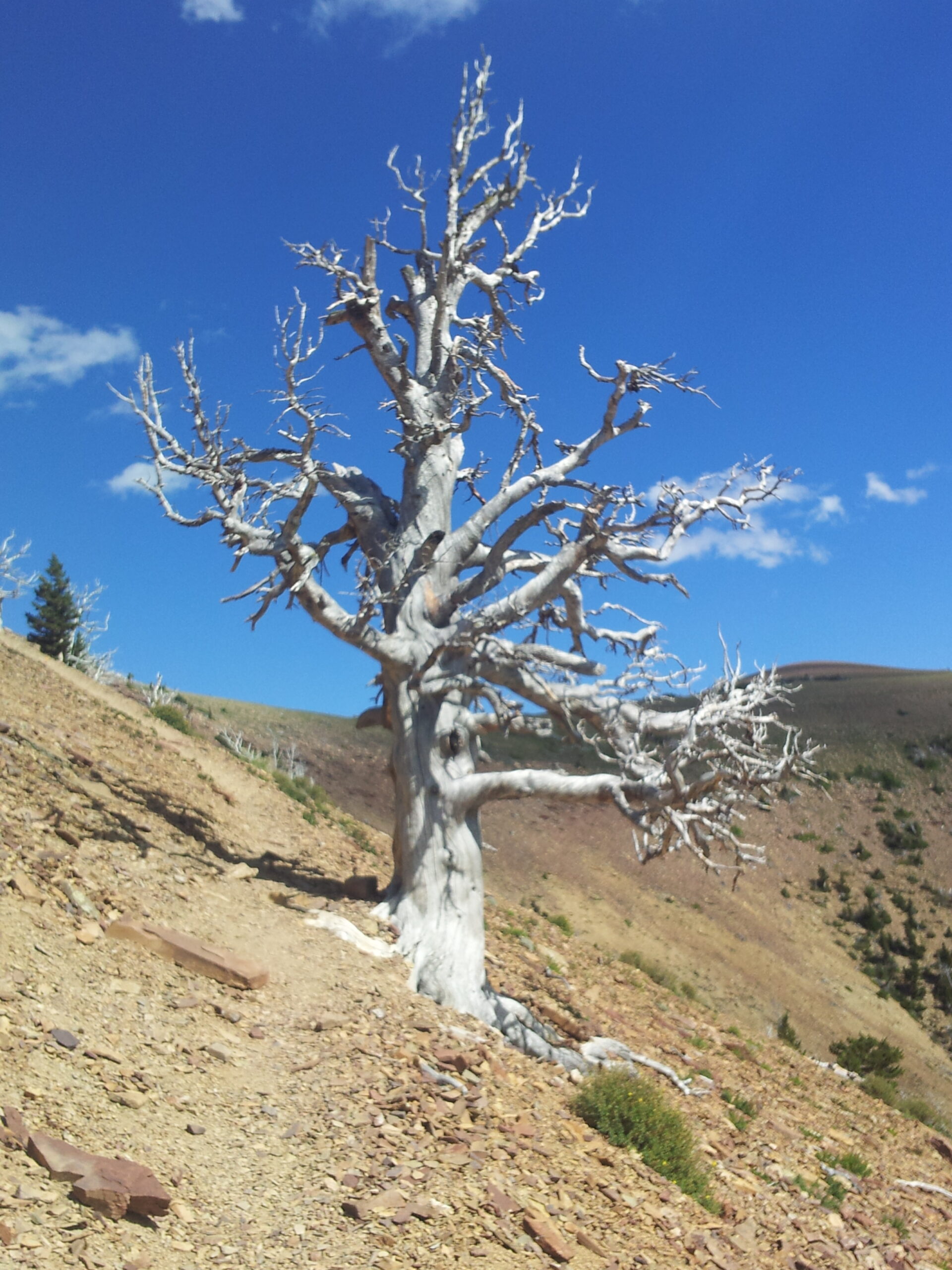
The next morning dawned sunny and nice, to the point where we could get a better sense of the place. It was an old forest fire clearing formed in 2011. The wind affected us because there were few large trees to break the wind. The river was quite nice though, and we took some snaps of a half dozen or so white pelicans who were punting around the rocks in the stream. Then we pushed on.
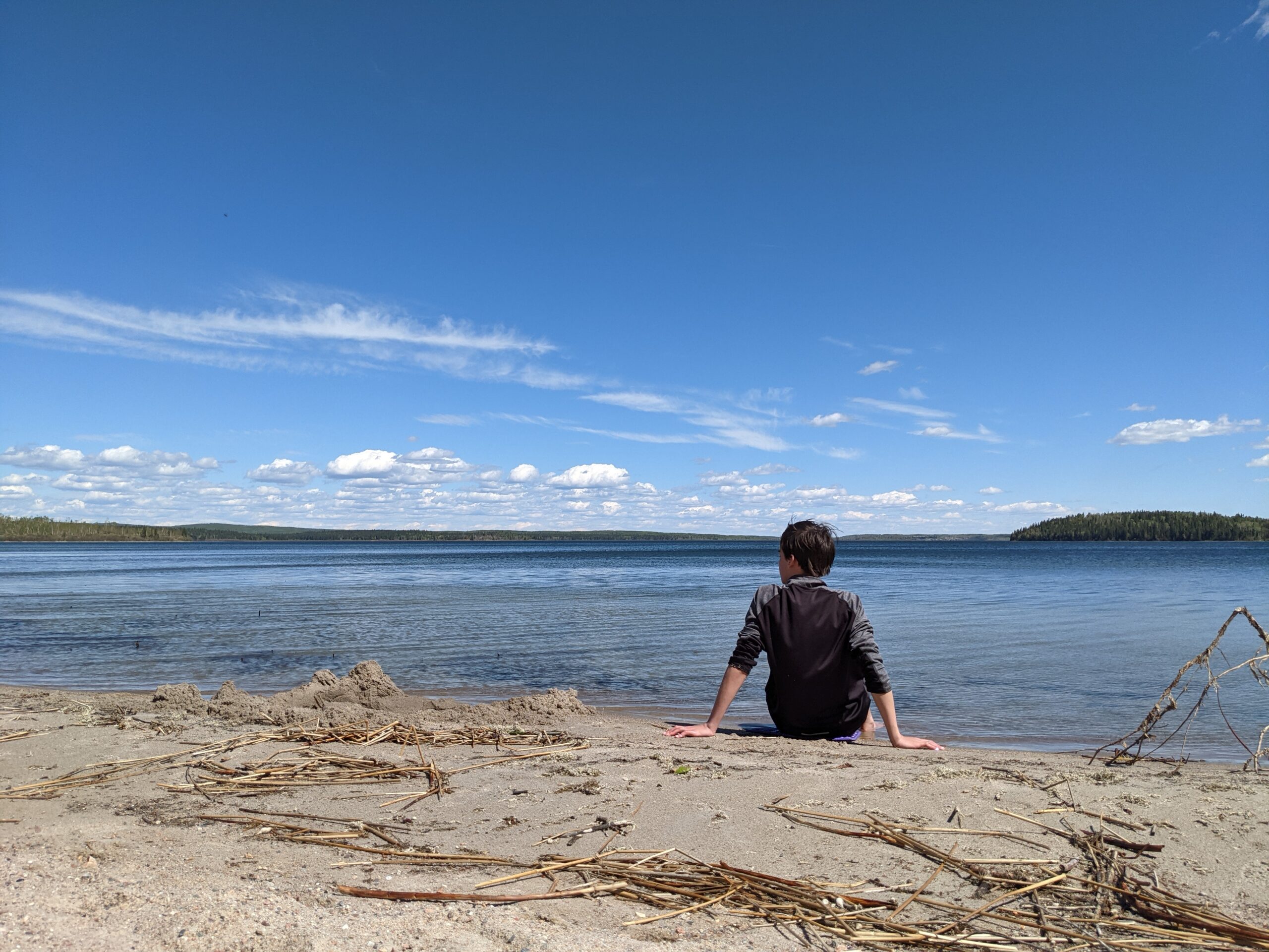
Sadly, my son’s feet were not as conditioned as mine to long trail days. By the time we pulled up in BT4 on Lac Des Iles he was pretty out of gas. We took a long break sunning ourselves on the functionally private beach there (Highly recommend this camp for a stop!) and then tried pushing on. We got to Murray Doell frontcountry camp (in the middle of another burn, so hot and sunny also beat us down) and then shortly after, we made it out to a road crossing and made the decision to call for an extraction. Still, got to see a lot of the park, and good quality time with my boy.
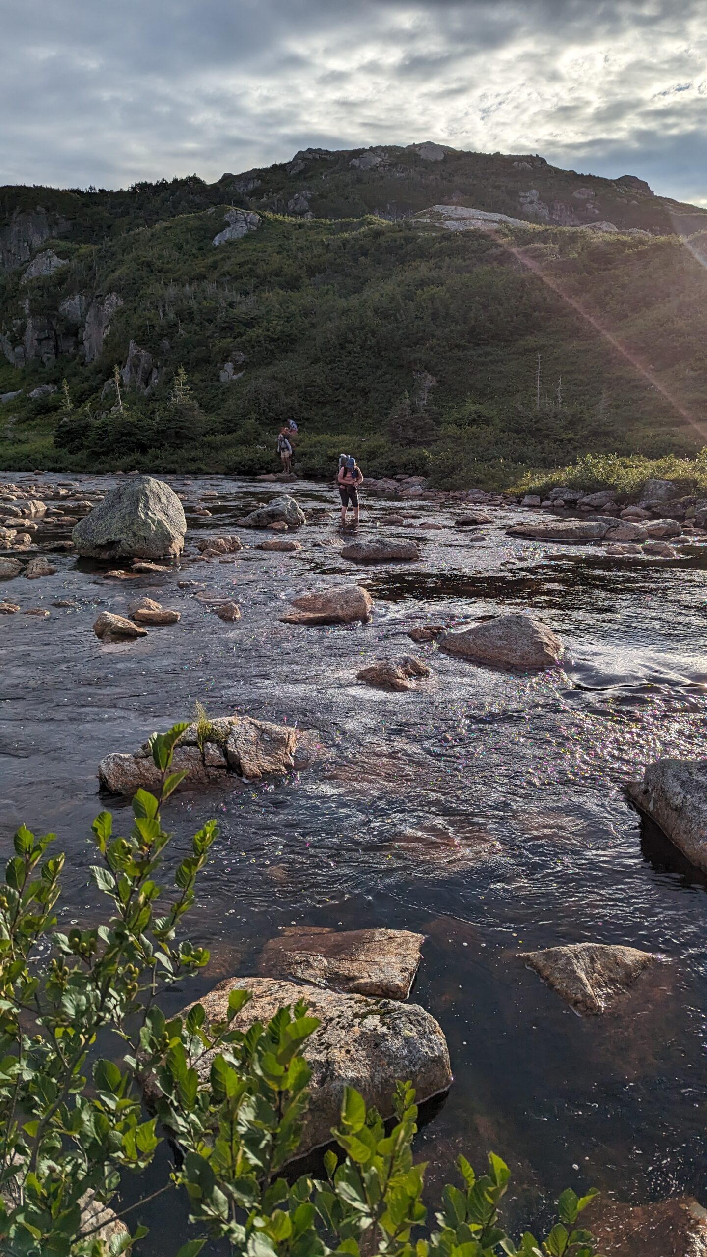
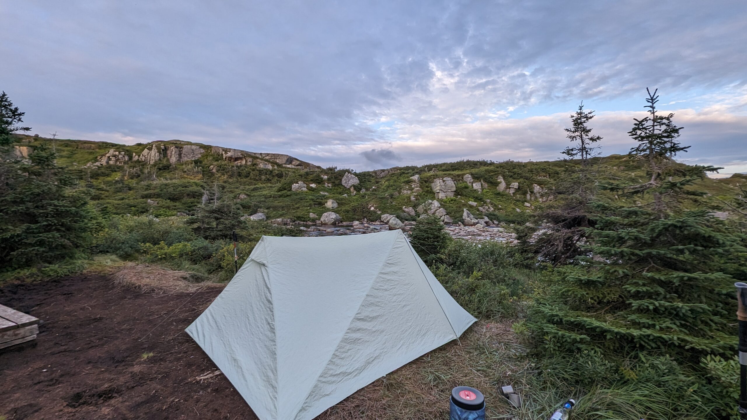
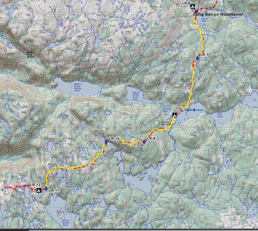
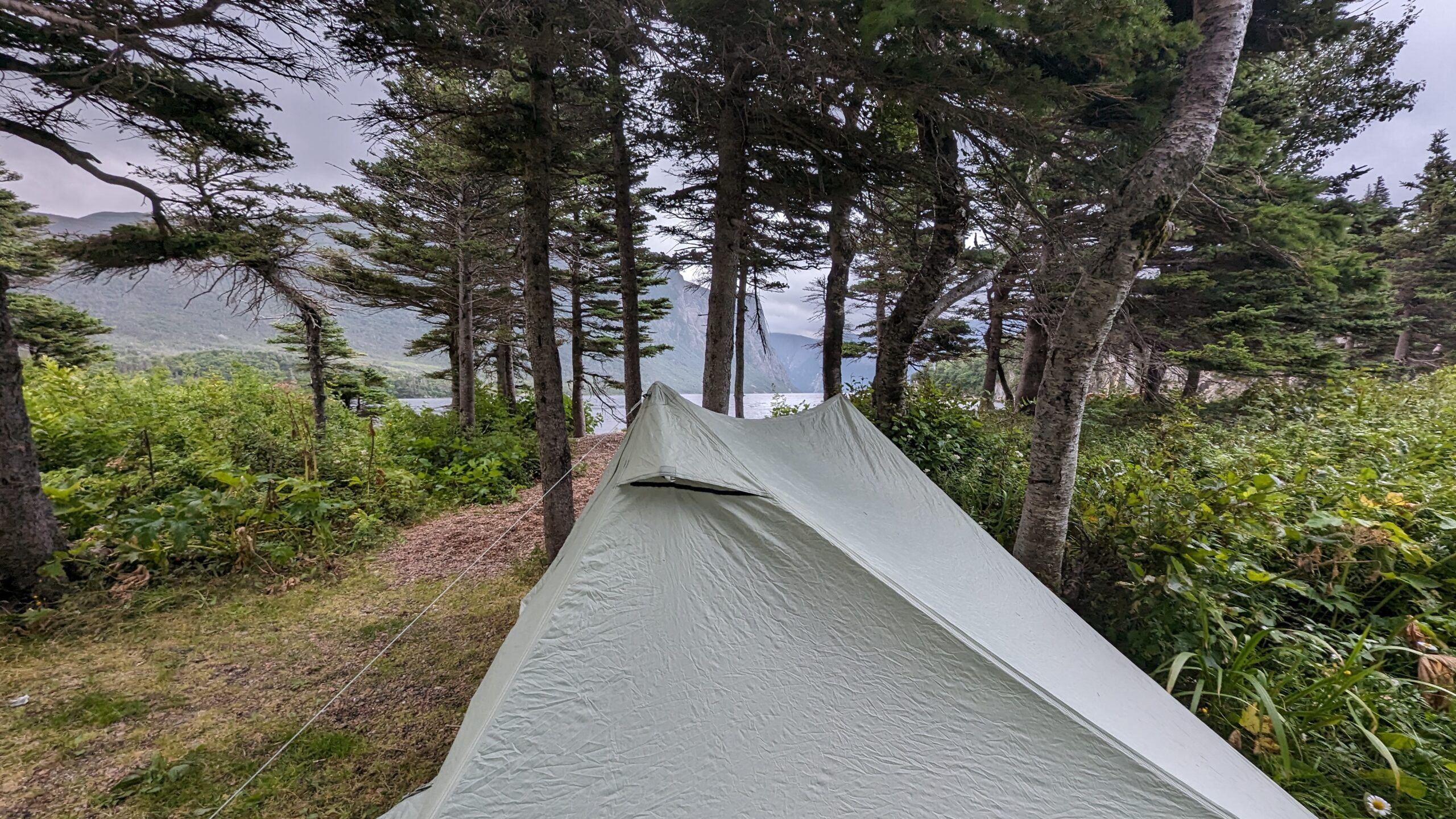
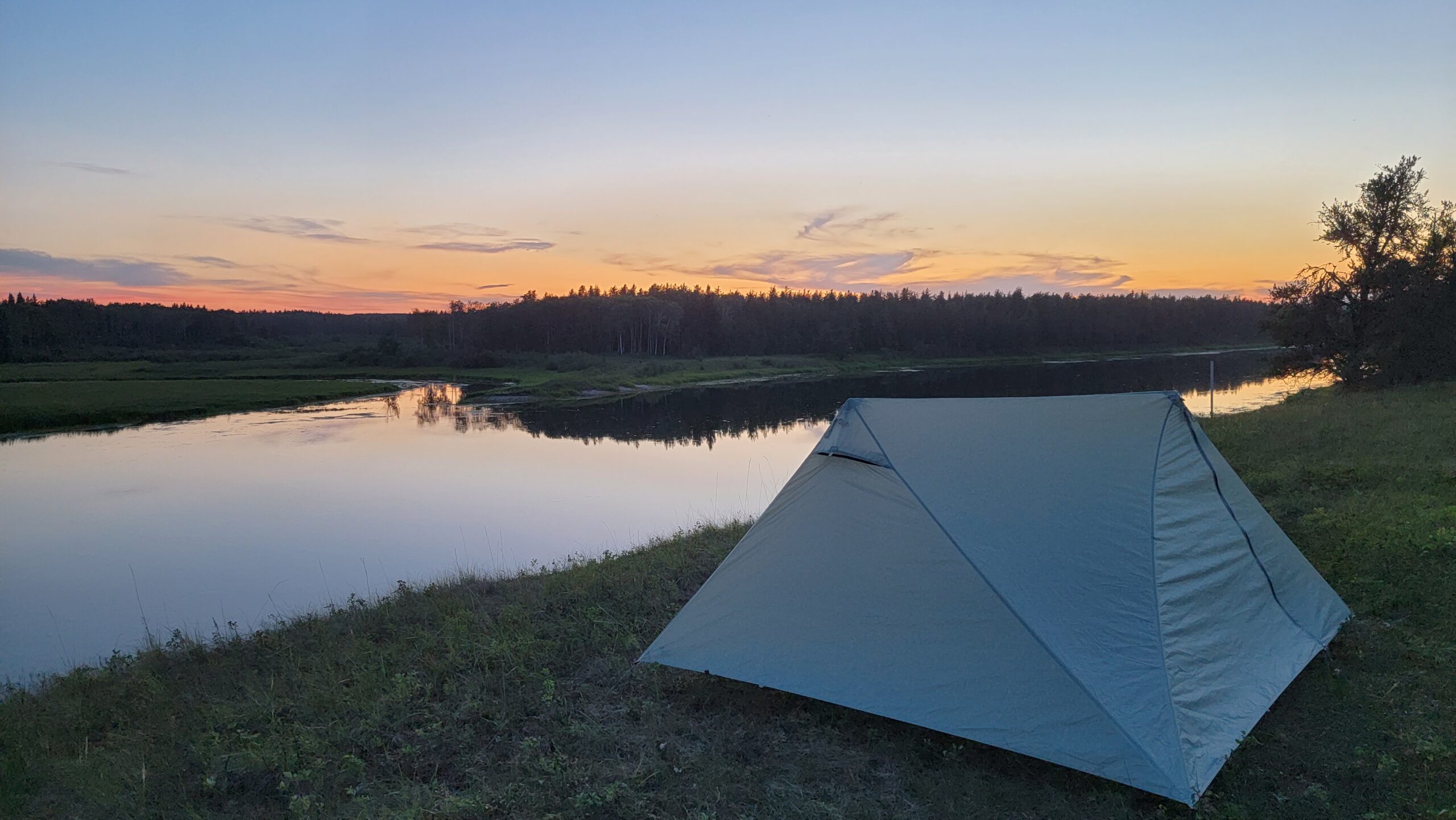
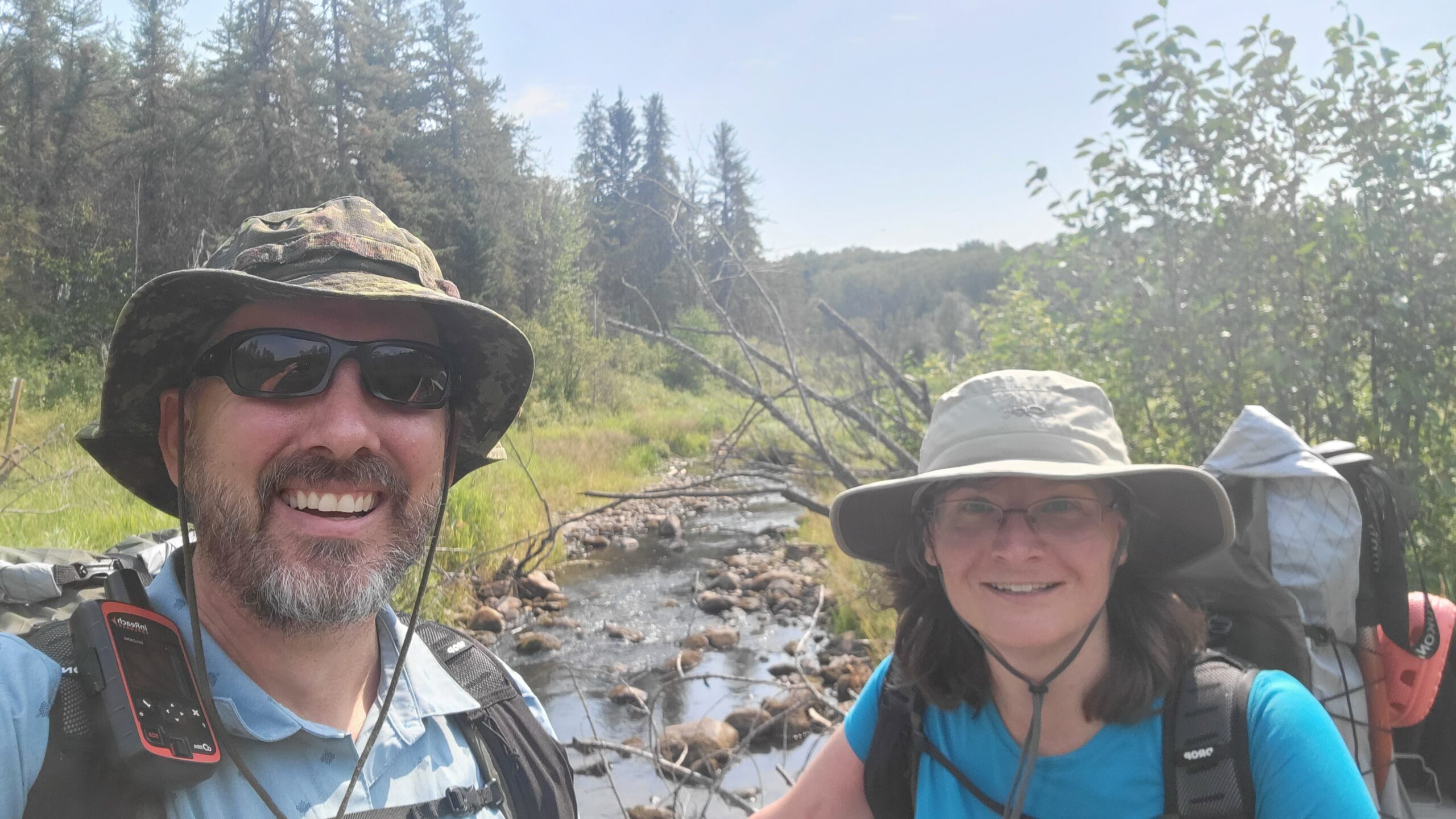
My sixth trip to the trail was in the training runup for our Great Divide Trail Section C trip. At this time my wife had decided to accompany me, but we needed to prepare her. So first order of business was to test her feet and our big four with an overnight. We selected a start at Jack Pine and hike into BT7 on the Waterhen River. We pitched my newly acquired, slightly used Durston XMid 2P above the river at sunset and it was lovely. The campsite had treed or open grassy field options, good fishing spots on the river, and well kept Bear Lockers. The trail used to go from BT7 east to the chalet and then north, but north of the chalet they had some beaver flooding issues, so they elected to close that part of the trail.
The following date we pushed for a longer day, crossing Mistohay Creek (nice views), passing the visitor center, and continuing on past BT5 to the Gold Creek area. There was some gravel roadwalking in this section, and the hot August sun beat down on us pretty ferociously. We had to hunt for water a few times in the drier stretches. Towards the end of our time in between the Murray Doell and BT5 area, it was quite hilly and nice. But we decided to call the trip there, almost connecting to where my son had left the trail on the previous trip.
All told, I probably got to see 80% of the trail, and the only significant backcountry stretch I didn’t get to hike was from Jack Pine to Kimball Lake area – most of the rest was roadwalk I was not sorry to miss.
I’d call it a well kept, well maintained set of trails for the most part, with well appointed campsites, though they frown on random camping. The challenge level is not Rocky Mountains, but there are hilly sections, and I’d definitely call it a good early season warmup hike, or late season final go before the snow flies. It is hikeable by May, and can still be done well into the fall (though make sure you hike in blaze orange in the fall!) If you’re in AB/SK, it’s definitely worth the trip!